92 Cardinal Ln Jim Thorpe, PA 18229
Estimated Value: $306,000 - $369,000
3
Beds
3
Baths
1,500
Sq Ft
$224/Sq Ft
Est. Value
About This Home
This home is located at 92 Cardinal Ln, Jim Thorpe, PA 18229 and is currently estimated at $335,390, approximately $223 per square foot. 92 Cardinal Ln is a home located in Carbon County with nearby schools including Jim Thorpe Area High School.
Ownership History
Date
Name
Owned For
Owner Type
Purchase Details
Closed on
Apr 4, 2019
Sold by
Isabella Brandi and Isabella Vincent J
Bought by
Isabella Brandi and Isabella Vincent J
Current Estimated Value
Home Financials for this Owner
Home Financials are based on the most recent Mortgage that was taken out on this home.
Original Mortgage
$127,645
Outstanding Balance
$112,937
Interest Rate
4.62%
Mortgage Type
FHA
Estimated Equity
$222,453
Purchase Details
Closed on
Sep 28, 2018
Sold by
James J Fullan
Bought by
Heydt Steven and Heydt Jill
Home Financials for this Owner
Home Financials are based on the most recent Mortgage that was taken out on this home.
Original Mortgage
$146,055
Interest Rate
4.72%
Purchase Details
Closed on
Aug 18, 2017
Sold by
Riccaboni Donald and Estate Of Dorothy Daly
Bought by
Riccaboni Donald
Purchase Details
Closed on
Nov 1, 1986
Bought by
Daly Dorothy G
Create a Home Valuation Report for This Property
The Home Valuation Report is an in-depth analysis detailing your home's value as well as a comparison with similar homes in the area
Home Values in the Area
Average Home Value in this Area
Purchase History
| Date | Buyer | Sale Price | Title Company |
|---|---|---|---|
| Isabella Brandi | -- | Paramount Abstract Inc | |
| Isabella Brandi | $130,000 | Paramount Abstract Inc | |
| Heydt Steven | $148,750 | -- | |
| Riccaboni Donald | -- | Attorney | |
| Daly Dorothy G | $9,200 | -- |
Source: Public Records
Mortgage History
| Date | Status | Borrower | Loan Amount |
|---|---|---|---|
| Open | Isabella Brandi | $127,645 | |
| Previous Owner | Heydt Steven | $146,055 | |
| Previous Owner | Heydt Steven | -- |
Source: Public Records
Tax History Compared to Growth
Tax History
| Year | Tax Paid | Tax Assessment Tax Assessment Total Assessment is a certain percentage of the fair market value that is determined by local assessors to be the total taxable value of land and additions on the property. | Land | Improvement |
|---|---|---|---|---|
| 2025 | $3,242 | $52,700 | $8,150 | $44,550 |
| 2024 | $3,084 | $52,700 | $8,150 | $44,550 |
| 2023 | $3,044 | $52,700 | $8,150 | $44,550 |
| 2022 | $3,044 | $52,700 | $8,150 | $44,550 |
| 2021 | $3,044 | $52,700 | $8,150 | $44,550 |
| 2020 | $3,044 | $52,700 | $8,150 | $44,550 |
| 2019 | $2,939 | $52,700 | $8,150 | $44,550 |
| 2018 | $2,939 | $52,700 | $8,150 | $44,550 |
| 2017 | $2,939 | $52,700 | $8,150 | $44,550 |
| 2016 | -- | $52,700 | $8,150 | $44,550 |
| 2015 | -- | $52,700 | $8,150 | $44,550 |
| 2014 | -- | $52,700 | $8,150 | $44,550 |
Source: Public Records
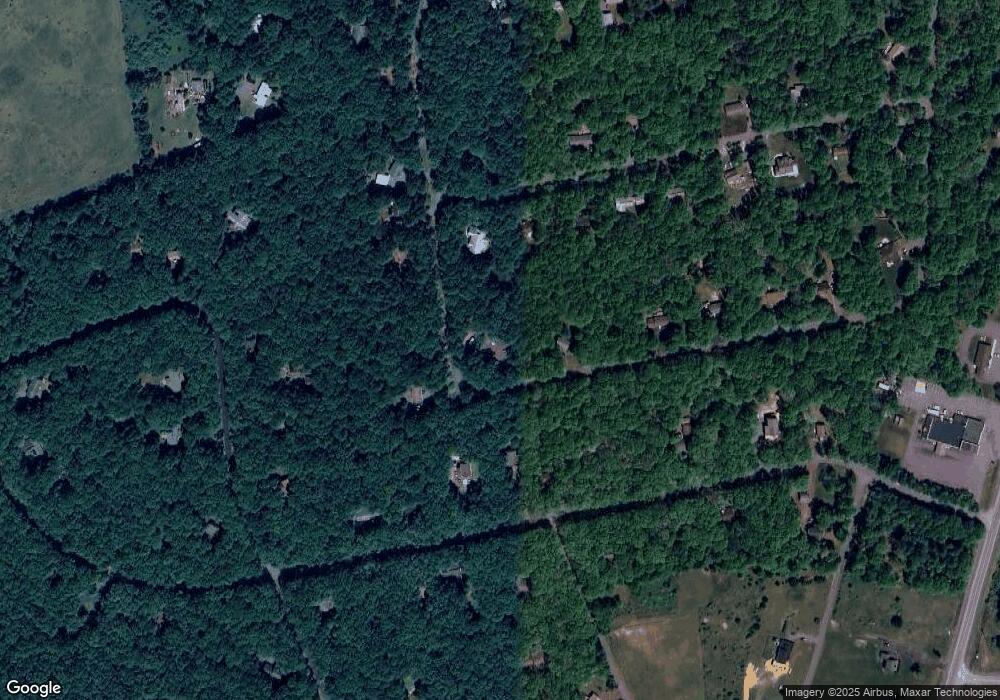
Map
Nearby Homes
- Lot 139LAN Willow Dr
- 0 Willow Dr
- 0 Berry Ln
- 56 Porter Dr
- 224 & 225 Bluejay Dr
- 135 Dogwood Dr
- 101 Dogwood Dr
- 144 Dogwood Dr
- 39 Martha Ln
- 223 Wolf Dr
- 226 Bear Creek Lake Dr
- 0 Pennsylvania 903
- 156 Bear Creek Lake Dr
- 108 Midway Dr
- 0 Cold Spring Dr Unit PM-135126
- 0 Cold Spring Dr Unit PM-131353
- 0 Cold Spring Dr Unit 763580
- 183 Panther Run Rd
- D299 Robertson Rd
- Lot 328 Panther Run Rd