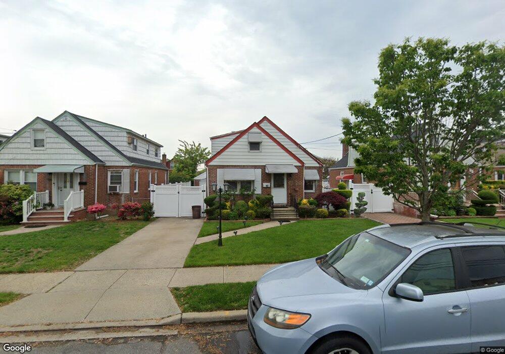
92 Carl Ave Franklin Square, NY 11010
Estimated Value: $720,000 - $731,803
4
Beds
2
Baths
1,215
Sq Ft
$597/Sq Ft
Est. Value
About This Home
This home is located at 92 Carl Ave, Franklin Square, NY 11010 and is currently estimated at $725,902, approximately $597 per square foot. 92 Carl Ave is a home located in Nassau County with nearby schools including The Waldorf School of Garden City.
Ownership History
Date
Name
Owned For
Owner Type
Purchase Details
Closed on
Jan 6, 2015
Sold by
Caravello Family Trust
Bought by
Cherian Bincy
Current Estimated Value
Purchase Details
Closed on
Dec 31, 2013
Sold by
Caravello John H and Caravello Concetta
Bought by
Mcdonough Joanne and Caravello Ralph M
Create a Home Valuation Report for This Property
The Home Valuation Report is an in-depth analysis detailing your home's value as well as a comparison with similar homes in the area
Home Values in the Area
Average Home Value in this Area
Purchase History
| Date | Buyer | Sale Price | Title Company |
|---|---|---|---|
| Cherian Bincy | $395,000 | None Available | |
| Mcdonough Joanne | -- | -- |
Source: Public Records
Tax History
| Year | Tax Paid | Tax Assessment Tax Assessment Total Assessment is a certain percentage of the fair market value that is determined by local assessors to be the total taxable value of land and additions on the property. | Land | Improvement |
|---|---|---|---|---|
| 2025 | $9,133 | $443 | $209 | $234 |
| 2024 | $4,304 | $477 | $225 | $252 |
Source: Public Records
Map
Nearby Homes
- 715 Iris St
- 41 Goldenrod Ave
- 191 Euston Rd S
- 62 Poppy Ave
- 124 Kilburn Rd S
- 138 Lincoln Rd
- 234 Nassau Blvd
- 128 Rule St
- 192 Brixton Rd S
- 149 Rule St
- 814 Benris Ave
- 32 Madison Ave
- 594 Fenworth Blvd
- 304 Kilburn Rd S
- 215 Monroe St
- 190 Commonwealth St
- 348 Fairway Dr
- 232 Ribbon St
- 198 Guildford Ct
- 286 Dorchester Rd
Your Personal Tour Guide
Ask me questions while you tour the home.