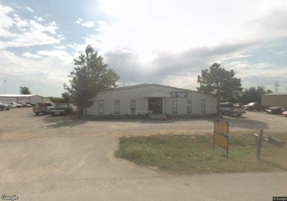
92 Case Cir Ardmore, OK 73401
Estimated Value: $389,721
--
Bed
1
Bath
7,500
Sq Ft
$52/Sq Ft
Est. Value
About This Home
This home is located at 92 Case Cir, Ardmore, OK 73401 and is currently estimated at $389,721, approximately $51 per square foot. 92 Case Cir is a home located in Carter County with nearby schools including Lone Grove Primary School, Lone Grove Intermediate School, and Lone Grove Middle School.
Ownership History
Date
Name
Owned For
Owner Type
Purchase Details
Closed on
Jun 17, 2019
Sold by
Rabe Jackie and Rabe Linda
Bought by
Willis Jackie M and Willis Rachelle M
Current Estimated Value
Home Financials for this Owner
Home Financials are based on the most recent Mortgage that was taken out on this home.
Original Mortgage
$190,400
Outstanding Balance
$122,940
Interest Rate
4.1%
Mortgage Type
Commercial
Estimated Equity
$266,781
Purchase Details
Closed on
Apr 1, 2016
Sold by
Modesto Darryle F and Modesto Lois
Bought by
C & K Metal Works Inc
Purchase Details
Closed on
Oct 10, 1997
Sold by
Lang Tom and Lang Kristy
Bought by
Modesto Darryle F
Purchase Details
Closed on
Dec 31, 1996
Sold by
Composite, Inc
Bought by
Lang Tom and Lang Kristy
Purchase Details
Closed on
Apr 9, 1993
Sold by
Speaks Jackie Lee and Speaks Ka
Bought by
Composite, Inc
Create a Home Valuation Report for This Property
The Home Valuation Report is an in-depth analysis detailing your home's value as well as a comparison with similar homes in the area
Home Values in the Area
Average Home Value in this Area
Purchase History
| Date | Buyer | Sale Price | Title Company |
|---|---|---|---|
| Willis Jackie M | $228,000 | None Available | |
| C & K Metal Works Inc | $190,000 | None Available | |
| Modesto Darryle F | $100,000 | -- | |
| Lang Tom | $80,000 | -- | |
| Composite, Inc | $17,000 | -- |
Source: Public Records
Mortgage History
| Date | Status | Borrower | Loan Amount |
|---|---|---|---|
| Open | Willis Jackie M | $190,400 |
Source: Public Records
Tax History Compared to Growth
Tax History
| Year | Tax Paid | Tax Assessment Tax Assessment Total Assessment is a certain percentage of the fair market value that is determined by local assessors to be the total taxable value of land and additions on the property. | Land | Improvement |
|---|---|---|---|---|
| 2025 | $2,809 | $26,874 | $4,800 | $22,074 |
| 2024 | $2,809 | $26,874 | $4,800 | $22,074 |
| 2023 | $2,811 | $26,874 | $4,800 | $22,074 |
| 2022 | $2,781 | $26,874 | $4,800 | $22,074 |
| 2021 | $2,848 | $27,360 | $8,050 | $19,310 |
| 2020 | $2,832 | $27,360 | $8,050 | $19,310 |
| 2019 | $2,089 | $20,210 | $7,191 | $13,019 |
| 2018 | $2,010 | $19,247 | $4,312 | $14,935 |
| 2017 | $2,370 | $22,800 | $3,420 | $19,380 |
| 2016 | $1,072 | $10,335 | $961 | $9,374 |
| 2015 | $1,132 | $9,843 | $369 | $9,474 |
| 2014 | $1,078 | $9,374 | $210 | $9,164 |
Source: Public Records
Map
Nearby Homes
- 270 Hickory St
- 8841 Brock Rd
- 40 Whipperwill St
- 01 N Brock Rd
- 7023 Myall Rd SW
- 0 Durango St
- 7241 Myall Rd
- 0 High Chaparal Dr Unit 2525272
- 5648 Myall Rd
- 0 Kelly Ln
- 58 Wisteria St
- 940 Durango St
- 86 Wisteria St
- 0 Foxden Rd Unit 2511367
- 114 Laurel St
- 00 Bob White Rd
- 6892 Meridian Rd
- 213 Laurel St
- 319 Cross Creek Cir
- 4803 Mill Creek Dr
- 538 Case Cir Unit CI
- 14553 Us Highway 70
- 14431 U S 70
- 14431 Us Highway 70
- 14511 Us Highway 70
- 167 Kati Ln
- 70Barracuda Hw 70
- 14339 Us Highway 70
- 70 Barracuda Dr
- 70 Bristol Rd
- 14307 Us Highway 70
- 227 Aulds Ave
- 14453 Us Highway 70
- 14927 Us Highway 70
- 14959 Us Highway 70
- 8070 Brock Rd
- 15045 U S 70
- 16 Shelly Ln
- 37 Aulds Ave
- 8101 Brock Rd