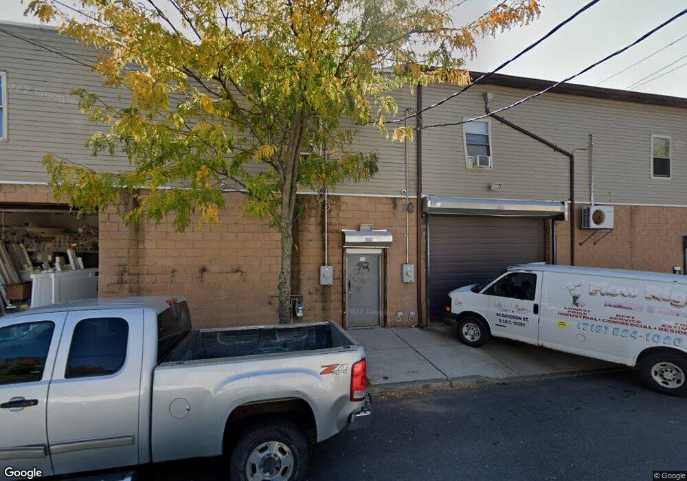
92 Davidson St Staten Island, NY 10303
Mariners Harbor NeighborhoodEstimated Value: $470,030
--
Bed
--
Bath
2,000
Sq Ft
$235/Sq Ft
Est. Value
About This Home
This home is located at 92 Davidson St, Staten Island, NY 10303 and is currently estimated at $470,030, approximately $235 per square foot. 92 Davidson St is a home located in Richmond County with nearby schools including P.S. 44 Thomas C Brown, I.S. 51 Edwin Markham, and Port Richmond High School.
Ownership History
Date
Name
Owned For
Owner Type
Purchase Details
Closed on
Dec 19, 2011
Sold by
Guzman Ruben and Guzman Sandra
Bought by
92 Davidson Street Llc
Current Estimated Value
Purchase Details
Closed on
Aug 17, 2011
Sold by
Ricca Joseph
Bought by
Guzman Ruben and Guzman Sandra
Home Financials for this Owner
Home Financials are based on the most recent Mortgage that was taken out on this home.
Original Mortgage
$50,000
Interest Rate
6%
Mortgage Type
Seller Take Back
Create a Home Valuation Report for This Property
The Home Valuation Report is an in-depth analysis detailing your home's value as well as a comparison with similar homes in the area
Home Values in the Area
Average Home Value in this Area
Purchase History
| Date | Buyer | Sale Price | Title Company |
|---|---|---|---|
| 92 Davidson Street Llc | -- | The Judicial Title Insurance | |
| Guzman Ruben | $254,562 | None Available |
Source: Public Records
Mortgage History
| Date | Status | Borrower | Loan Amount |
|---|---|---|---|
| Previous Owner | Guzman Ruben | $50,000 |
Source: Public Records
Tax History Compared to Growth
Tax History
| Year | Tax Paid | Tax Assessment Tax Assessment Total Assessment is a certain percentage of the fair market value that is determined by local assessors to be the total taxable value of land and additions on the property. | Land | Improvement |
|---|---|---|---|---|
| 2025 | $11,392 | $109,800 | $17,550 | $92,250 |
| 2024 | $11,392 | $107,550 | $17,550 | $90,000 |
| 2023 | $11,067 | $103,950 | $17,550 | $86,400 |
| 2022 | $10,841 | $100,800 | $17,550 | $83,250 |
| 2021 | $10,731 | $100,350 | $17,550 | $82,800 |
| 2020 | $11,512 | $129,600 | $17,550 | $112,050 |
| 2019 | $17,091 | $127,350 | $17,550 | $109,800 |
| 2018 | $9,330 | $104,850 | $17,550 | $87,300 |
| 2017 | $8,214 | $102,600 | $17,550 | $85,050 |
| 2016 | $7,214 | $83,250 | $17,550 | $65,700 |
| 2015 | -- | $83,250 | $17,550 | $65,700 |
| 2014 | -- | $69,750 | $17,550 | $52,200 |
Source: Public Records
Map
Nearby Homes
- 221 South Ave
- 113 Grandview Ave
- 137 South Ave
- 134 South Ave
- 312 Grandview Ave
- 51 Mersereau Ave
- 34 Andros Ave
- 43 Andros Ave
- 36 Lockman Ave
- 58 Grandview Ave
- 101 Lockman Ave
- 189 Pond Way Unit A
- 16 Mersereau Ave
- 53 South Ave
- 176 Arlington Place
- 3146 Richmond Terrace
- 27 Grandview Ave
- 25 Benjamin Place
- 96 Northfield Ave
- 167 Harbor Rd
- 92 Davidson St Unit A
- 92-94 Davidson St
- 195 Grandview Ave
- 94 Davidson St
- 181-85 Grandview Ave
- 197 Grandview Ave
- 181 Grandview Ave
- 203 Grandview Ave
- 177 Grandview Ave
- 79 Davidson St Unit 1 family
- 79 Davidson St
- 83 Davidson St
- 81 Davidson St
- 209 Grandview Ave
- 192 Grandview Ave Unit 1
- 192 Grandview Ave
- 190 Grandview Ave
- 194 Grandview Ave
- 173 Grandview Ave
- 196 Grandview Ave