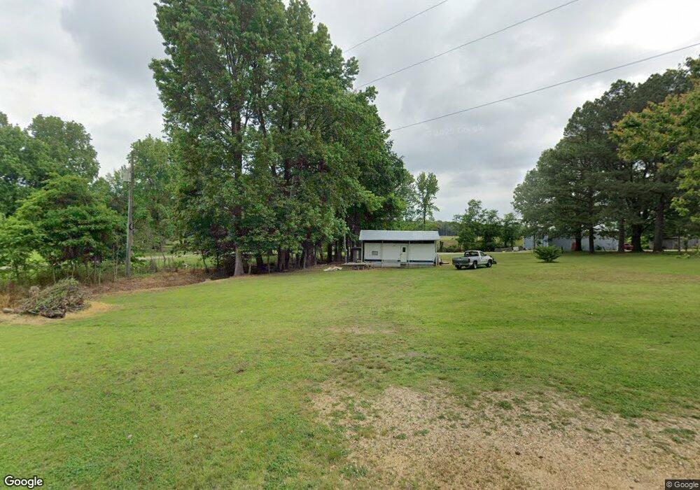
92 Debbie Dr Paragould, AR 72450
Estimated Value: $141,000 - $209,000
--
Bed
2
Baths
1,368
Sq Ft
$122/Sq Ft
Est. Value
About This Home
This home is located at 92 Debbie Dr, Paragould, AR 72450 and is currently estimated at $167,333, approximately $122 per square foot. 92 Debbie Dr is a home located in Greene County with nearby schools including Paragould High School.
Ownership History
Date
Name
Owned For
Owner Type
Purchase Details
Closed on
Aug 7, 2025
Sold by
Textor Nancy and Textor Morris
Bought by
Sherry Paige Calver Revocable Trust
Current Estimated Value
Home Financials for this Owner
Home Financials are based on the most recent Mortgage that was taken out on this home.
Original Mortgage
$15,000
Outstanding Balance
$14,912
Interest Rate
6.77%
Mortgage Type
Credit Line Revolving
Estimated Equity
$152,421
Create a Home Valuation Report for This Property
The Home Valuation Report is an in-depth analysis detailing your home's value as well as a comparison with similar homes in the area
Home Values in the Area
Average Home Value in this Area
Purchase History
| Date | Buyer | Sale Price | Title Company |
|---|---|---|---|
| Sherry Paige Calver Revocable Trust | $20,000 | Priority Title |
Source: Public Records
Mortgage History
| Date | Status | Borrower | Loan Amount |
|---|---|---|---|
| Open | Sherry Paige Calver Revocable Trust | $15,000 |
Source: Public Records
Tax History Compared to Growth
Tax History
| Year | Tax Paid | Tax Assessment Tax Assessment Total Assessment is a certain percentage of the fair market value that is determined by local assessors to be the total taxable value of land and additions on the property. | Land | Improvement |
|---|---|---|---|---|
| 2025 | $708 | $20,850 | $3,000 | $17,850 |
| 2024 | $676 | $20,850 | $3,000 | $17,850 |
| 2023 | $639 | $14,230 | $1,500 | $12,730 |
| 2022 | $264 | $14,230 | $1,500 | $12,730 |
| 2021 | $235 | $14,230 | $1,500 | $12,730 |
| 2020 | $581 | $12,840 | $1,500 | $11,340 |
| 2019 | $206 | $12,840 | $1,500 | $11,340 |
| 2018 | $231 | $12,840 | $1,500 | $11,340 |
| 2017 | $568 | $12,840 | $1,500 | $11,340 |
| 2016 | $197 | $12,840 | $1,500 | $11,340 |
| 2015 | $171 | $11,780 | $1,600 | $10,180 |
| 2014 | $461 | $11,780 | $1,600 | $10,180 |
Source: Public Records
Map
Nearby Homes
- 5.38 AC Highway 135 N
- 146 Messer Dr
- 205 Raymond
- 181 Misty Marie
- 422 Sunset Dr
- 1 Acre Hwy 34 W
- 193 Granny Jean Ln
- 522 Vaughn Dr
- 44 Oak Grove Rd
- 9496 Arkansas 135
- 233 Lois Ln
- 1094 Greene Road 508
- 197 Greene Road 535
- 0 Greene 611 Tract A East Rd
- 1387 Greene Road 517
- 00 Off Hwy 135 N
- 3 Highway 135 N
- TBD Greene Road 611
- 1904 Greene Road 516
- Tract 4 Greene 726 Rd
- 62 Debbie Dr
- 34 Debbie Dr
- 0 Debbie Dr
- 183 Lee St
- 129 Debbie Dr
- 143 Lee St
- 181 Debbie Dr
- 138 Lee St
- 138 Lee St
- 0 Lee St
- 2 Debbie Dr
- 2 Debbie Dr
- 23 Stormes Dr Unit 1
- 23 Stormes Dr Unit 2
- 23 Stormes Dr Unit 3
- 63 Lee St
- 60 Lee St
- 350 Highway 34 W
- 350 Highway 34 W
- 350 Highway 34 W Unit 21 & 23 LEE STREET