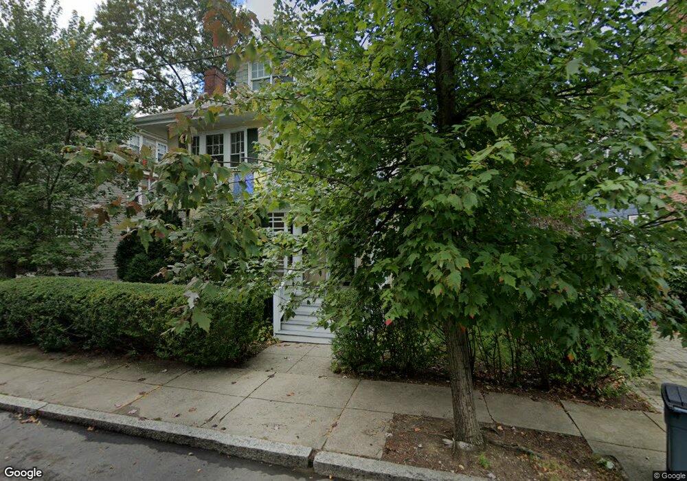
92 Dunster Rd Jamaica Plain, MA 02130
Jamaica Plain NeighborhoodEstimated Value: $1,040,000 - $1,535,653
6
Beds
4
Baths
2,362
Sq Ft
$572/Sq Ft
Est. Value
About This Home
This home is located at 92 Dunster Rd, Jamaica Plain, MA 02130 and is currently estimated at $1,351,163, approximately $572 per square foot. 92 Dunster Rd is a home located in Suffolk County with nearby schools including The Park School and Meridian Academy.
Ownership History
Date
Name
Owned For
Owner Type
Purchase Details
Closed on
Jun 21, 2023
Sold by
Damato Karen and Dinkin Neil S
Bought by
Koehler Julia
Current Estimated Value
Home Financials for this Owner
Home Financials are based on the most recent Mortgage that was taken out on this home.
Original Mortgage
$944,000
Outstanding Balance
$916,541
Interest Rate
6.35%
Mortgage Type
Purchase Money Mortgage
Estimated Equity
$434,622
Purchase Details
Closed on
Mar 3, 1995
Sold by
Goldsmith Martha R
Bought by
Orleans Neil S
Create a Home Valuation Report for This Property
The Home Valuation Report is an in-depth analysis detailing your home's value as well as a comparison with similar homes in the area
Home Values in the Area
Average Home Value in this Area
Purchase History
| Date | Buyer | Sale Price | Title Company |
|---|---|---|---|
| Koehler Julia | $1,180,000 | None Available | |
| Orleans Neil S | $238,500 | -- |
Source: Public Records
Mortgage History
| Date | Status | Borrower | Loan Amount |
|---|---|---|---|
| Open | Koehler Julia | $944,000 | |
| Previous Owner | Orleans Neil S | $100,000 | |
| Previous Owner | Orleans Neil S | $50,000 | |
| Previous Owner | Orleans Neil S | $35,000 |
Source: Public Records
Tax History Compared to Growth
Tax History
| Year | Tax Paid | Tax Assessment Tax Assessment Total Assessment is a certain percentage of the fair market value that is determined by local assessors to be the total taxable value of land and additions on the property. | Land | Improvement |
|---|---|---|---|---|
| 2025 | $15,108 | $1,304,700 | $554,600 | $750,100 |
| 2024 | $13,547 | $1,242,800 | $516,300 | $726,500 |
| 2023 | $13,210 | $1,230,000 | $511,000 | $719,000 |
| 2022 | $12,502 | $1,149,100 | $477,400 | $671,700 |
| 2021 | $11,353 | $1,064,000 | $442,000 | $622,000 |
| 2020 | $10,552 | $999,200 | $417,600 | $581,600 |
| 2019 | $10,029 | $951,500 | $326,000 | $625,500 |
| 2018 | $9,318 | $889,100 | $326,000 | $563,100 |
| 2017 | $9,416 | $889,100 | $326,000 | $563,100 |
| 2016 | $8,579 | $779,900 | $326,000 | $453,900 |
| 2015 | $7,872 | $650,000 | $232,800 | $417,200 |
| 2014 | $7,079 | $562,700 | $232,800 | $329,900 |
Source: Public Records
Map
Nearby Homes
- 54 Arborway
- 2 Brewer St
- 29 Goldsmith St Unit 1
- 27-29 Ballard St
- 55 South St
- 55 South St Unit 3
- 15 Harris Ave
- 18 Atwood Square Unit 3
- 584 Centre St
- 36 Alveston St
- 41 Jamaica St
- 10 Jamaicaway Ct Unit 25
- 10 Jamaicaway Ct Unit 24
- 1000 Centre St Unit 4
- 45 Parley Ave
- 93 Sedgwick St
- 66 Seaverns Ave Unit 68B
- 96 Jamaica St
- 76 Elm St Unit G05
- 11 Robinwood Ave
- 96 Dunster Rd Unit 2
- 96 Dunster Rd Unit 1
- 88 Dunster Rd Unit 3
- 88 Dunster Rd Unit 2
- 88 Dunster Rd Unit 1
- 88 Dunster Rd
- 82 Dunster Rd Unit 84R
- 100 Dunster Rd
- 91 Dunster Rd
- 91 Dunster Rd Unit 2
- 91 Dunster Rd Unit 1
- 57 Orchard St
- 57 Orchard St Unit $2,450,000
- 85 Dunster Rd
- 85 Dunster Rd Unit 1
- 80 Dunster Rd
- 99 Dunster Rd
- 99 Dunster Rd Unit 1
- 102 Dunster Rd
- 81 Dunster Rd