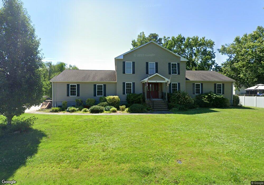
92 Forrest Rd Poquoson, VA 23662
Poquoson West NeighborhoodEstimated Value: $550,070 - $584,000
4
Beds
3
Baths
2,680
Sq Ft
$212/Sq Ft
Est. Value
About This Home
This home is located at 92 Forrest Rd, Poquoson, VA 23662 and is currently estimated at $569,268, approximately $212 per square foot. 92 Forrest Rd is a home located in Poquoson City with nearby schools including Summit Christian Academy - Upper School.
Ownership History
Date
Name
Owned For
Owner Type
Purchase Details
Closed on
Sep 8, 2020
Sold by
Simonds Cade M and Simonds Erin E
Bought by
Welters Jonathan A and Welters Angela
Current Estimated Value
Home Financials for this Owner
Home Financials are based on the most recent Mortgage that was taken out on this home.
Original Mortgage
$309,600
Outstanding Balance
$273,608
Interest Rate
2.8%
Mortgage Type
New Conventional
Estimated Equity
$295,660
Purchase Details
Closed on
Aug 16, 2016
Sold by
Born Janelle C
Bought by
Simonds Cade M and Simonds Erin E
Home Financials for this Owner
Home Financials are based on the most recent Mortgage that was taken out on this home.
Original Mortgage
$367,740
Interest Rate
3.45%
Mortgage Type
VA
Create a Home Valuation Report for This Property
The Home Valuation Report is an in-depth analysis detailing your home's value as well as a comparison with similar homes in the area
Home Values in the Area
Average Home Value in this Area
Purchase History
| Date | Buyer | Sale Price | Title Company |
|---|---|---|---|
| Welters Jonathan A | $387,000 | Attorney | |
| Simonds Cade M | $360,000 | Omni Title & Escrow Llc |
Source: Public Records
Mortgage History
| Date | Status | Borrower | Loan Amount |
|---|---|---|---|
| Open | Welters Jonathan A | $309,600 | |
| Previous Owner | Simonds Cade M | $367,740 |
Source: Public Records
Tax History Compared to Growth
Tax History
| Year | Tax Paid | Tax Assessment Tax Assessment Total Assessment is a certain percentage of the fair market value that is determined by local assessors to be the total taxable value of land and additions on the property. | Land | Improvement |
|---|---|---|---|---|
| 2025 | $5,153 | $452,000 | $124,700 | $327,300 |
| 2024 | $5,171 | $453,600 | $104,600 | $349,000 |
| 2023 | $5,035 | $453,600 | $104,600 | $349,000 |
| 2022 | $4,645 | $411,100 | $104,600 | $306,500 |
| 2021 | $4,532 | $401,100 | $104,600 | $296,500 |
| 2020 | $0 | $380,800 | $104,600 | $276,200 |
| 2019 | -- | $380,800 | $104,600 | $276,200 |
| 2018 | -- | $359,900 | $104,600 | $255,300 |
| 2017 | -- | $330,500 | $104,600 | $225,900 |
| 2016 | -- | $330,500 | $104,600 | $225,900 |
| 2015 | -- | $319,900 | $104,600 | $215,300 |
| 2013 | -- | $319,900 | $104,600 | $215,300 |
Source: Public Records
Map
Nearby Homes
- 7 Quail Cove
- 3 Carmines Ct
- 7 Carmines Ct
- 8 White House Dr
- 105 Rens Rd Unit 74
- 105 Rens Rd Unit 2
- 21 Rens Rd
- 1020 Poquoson Ave Unit C
- 1020 Poquoson Ave
- 9 Rhodelia Ln
- 8.5AC Poquoson Ave
- 106 Blue Crab Dr
- 54 N Lawson Rd
- 52 N Lawson Rd
- 50 N Lawson Rd
- 1 Phillips Rd
- 216 Little Florida Rd
- 718C Poquoson Ave
- 15+AC Browns Neck Rd
- 24 Holly St