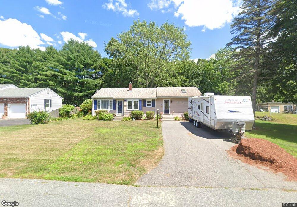
92 Hebron Ave Seekonk, MA 02771
Estimated Value: $445,000 - $458,000
2
Beds
2
Baths
1,216
Sq Ft
$370/Sq Ft
Est. Value
About This Home
This home is located at 92 Hebron Ave, Seekonk, MA 02771 and is currently estimated at $449,756, approximately $369 per square foot. 92 Hebron Ave is a home located in Bristol County with nearby schools including Seekonk High School, St Cecilia School, and Grace Baptist Christian Academy.
Ownership History
Date
Name
Owned For
Owner Type
Purchase Details
Closed on
Apr 1, 1993
Sold by
Denis Mary E and Denis Ethel
Bought by
Langlois Lorraine M and Foeri William D
Current Estimated Value
Home Financials for this Owner
Home Financials are based on the most recent Mortgage that was taken out on this home.
Original Mortgage
$86,623
Interest Rate
7.6%
Mortgage Type
Purchase Money Mortgage
Create a Home Valuation Report for This Property
The Home Valuation Report is an in-depth analysis detailing your home's value as well as a comparison with similar homes in the area
Home Values in the Area
Average Home Value in this Area
Purchase History
| Date | Buyer | Sale Price | Title Company |
|---|---|---|---|
| Langlois Lorraine M | $88,000 | -- |
Source: Public Records
Mortgage History
| Date | Status | Borrower | Loan Amount |
|---|---|---|---|
| Open | Langlois Lorraine M | $15,000 | |
| Open | Langlois Lorraine M | $93,000 | |
| Closed | Langlois Lorraine M | $86,623 |
Source: Public Records
Tax History
| Year | Tax Paid | Tax Assessment Tax Assessment Total Assessment is a certain percentage of the fair market value that is determined by local assessors to be the total taxable value of land and additions on the property. | Land | Improvement |
|---|---|---|---|---|
| 2025 | $4,264 | $345,300 | $160,900 | $184,400 |
| 2024 | $4,131 | $334,500 | $160,900 | $173,600 |
| 2023 | $3,912 | $298,400 | $136,900 | $161,500 |
| 2022 | $3,405 | $269,600 | $131,300 | $138,300 |
| 2021 | $3,405 | $250,900 | $115,100 | $135,800 |
| 2020 | $3,328 | $252,700 | $115,400 | $137,300 |
| 2019 | $3,163 | $242,200 | $110,100 | $132,100 |
| 2018 | $3,103 | $232,400 | $107,100 | $125,300 |
| 2017 | $3,006 | $223,300 | $104,400 | $118,900 |
| 2016 | $2,966 | $221,200 | $104,400 | $116,800 |
| 2015 | $2,908 | $219,800 | $104,400 | $115,400 |
Source: Public Records
Map
Nearby Homes
- 104 Hebron Ave
- 103 Hebron Ave
- 100 Oak Hill Ave
- 0 Hebron Ave
- 97 Hebron Ave
- 98 Hebron Ave
- 86 Oakhill Ave
- 111 Oak Hill Ave
- 121 Oak Hill Ave
- 86 Oak Hill Ave
- 97 Oak Hill Ave
- 16 Bourne Ave
- 16 Bourne Ave
- 127 Oak Hill Ave
- 81 Hebron Ave
- 91 Oak Hill Ave
- 91 Oak Hill Ave Unit 1
- 85 Oak Hill Ave
- 72 Hebron Ave
- 85 Oakhill Ave
Your Personal Tour Guide
Ask me questions while you tour the home.