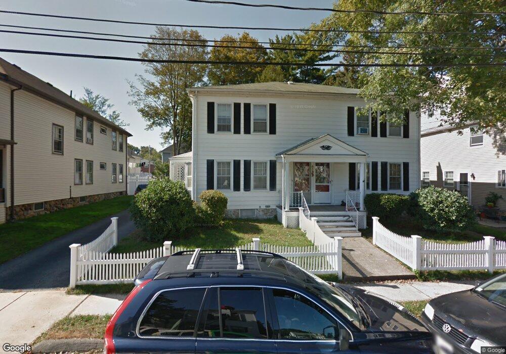
92 Howard St Unit 94 Waltham, MA 02451
Bank Square NeighborhoodEstimated Value: $973,000 - $1,204,000
6
Beds
3
Baths
2,640
Sq Ft
$409/Sq Ft
Est. Value
About This Home
This home is located at 92 Howard St Unit 94, Waltham, MA 02451 and is currently estimated at $1,079,842, approximately $409 per square foot. 92 Howard St Unit 94 is a home located in Middlesex County with nearby schools including Thomas R Plympton Elementary School, John F Kennedy Middle School, and Waltham Sr High School.
Ownership History
Date
Name
Owned For
Owner Type
Purchase Details
Closed on
Oct 25, 2016
Sold by
Burns Bradford R and Burns Josephine M
Bought by
92 Howard Street Rt
Current Estimated Value
Purchase Details
Closed on
Jul 3, 2012
Sold by
Howard Rt
Bought by
Burns Bradford R
Purchase Details
Closed on
Jun 1, 1981
Bought by
Burns Bradford R and Burns Josephine
Create a Home Valuation Report for This Property
The Home Valuation Report is an in-depth analysis detailing your home's value as well as a comparison with similar homes in the area
Home Values in the Area
Average Home Value in this Area
Purchase History
| Date | Buyer | Sale Price | Title Company |
|---|---|---|---|
| 92 Howard Street Rt | -- | -- | |
| Burns Bradford R | -- | -- | |
| Burns Bradford R | -- | -- |
Source: Public Records
Tax History Compared to Growth
Tax History
| Year | Tax Paid | Tax Assessment Tax Assessment Total Assessment is a certain percentage of the fair market value that is determined by local assessors to be the total taxable value of land and additions on the property. | Land | Improvement |
|---|---|---|---|---|
| 2025 | $9,491 | $966,500 | $364,900 | $601,600 |
| 2024 | $8,705 | $903,000 | $362,600 | $540,400 |
| 2023 | $8,057 | $780,700 | $347,500 | $433,200 |
| 2022 | $8,154 | $732,000 | $317,300 | $414,700 |
| 2021 | $7,351 | $649,400 | $256,800 | $392,600 |
| 2020 | $7,068 | $591,500 | $226,600 | $364,900 |
| 2019 | $6,592 | $520,700 | $224,400 | $296,300 |
| 2018 | $5,934 | $470,600 | $207,700 | $262,900 |
| 2017 | $5,675 | $451,800 | $188,900 | $262,900 |
| 2016 | $5,530 | $451,800 | $188,900 | $262,900 |
| 2015 | $5,076 | $386,600 | $170,000 | $216,600 |
Source: Public Records
Map
Nearby Homes
- 15 Howard St
- 43-45 Welligton Unit 3
- 91 Prentice St
- 15 Banks St Unit 4
- 32 Harvard St Unit 2
- 37 Summit St
- 160 School St Unit 3-1
- 948 Main St Unit 209
- 948 Main St Unit 105
- 39 Floyd St Unit 2
- 79-81 Vernon St
- 7-11.5 Felton
- 14 Willard St
- 70 School St
- 326 Bacon St
- 55-57 Crescent St
- 85 Crescent St
- 214 Church St
- 61 Hall St Unit 1
- 61 Hall St Unit 9
- 100 Howard St Unit 2
- 100 Howard St Unit 1
- 88 Howard St Unit 90
- 104 Howard St Unit 2
- 104 Howard St Unit 1
- 86 Howard St Unit 2
- 86 Howard St Unit 1
- 95 Francis St
- 93 Francis St Unit 1
- 93 Francis St
- 87 Francis St
- 17-19 Joy St
- 17 Joy St Unit 19
- 91 Howard St Unit 93
- 82 Howard St
- 83 Howard St Unit 85
- 83 Howard St Unit 1
- 80 Howard St Unit 82
- 80 Howard St Unit 80
- 87 Howard St Unit 89