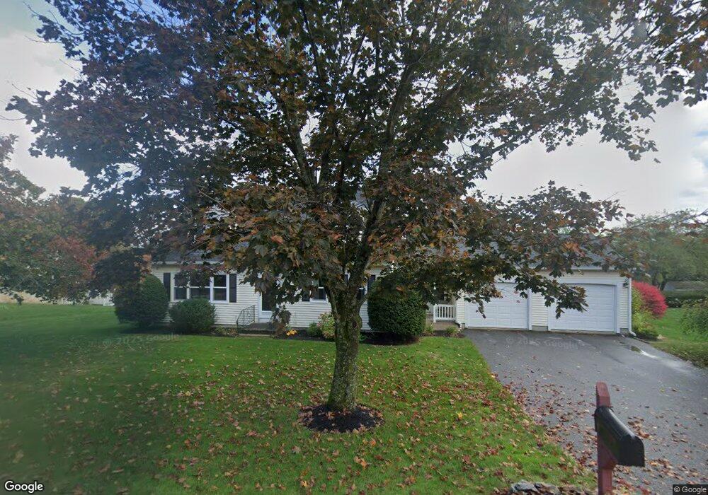
92 Long Hill Dr Leominster, MA 01453
Estimated Value: $567,000 - $621,000
4
Beds
3
Baths
2,288
Sq Ft
$260/Sq Ft
Est. Value
About This Home
This home is located at 92 Long Hill Dr, Leominster, MA 01453 and is currently estimated at $595,130, approximately $260 per square foot. 92 Long Hill Dr is a home located in Worcester County with nearby schools including Leominster High School, St. Leo School, and St. Anna Catholic School.
Ownership History
Date
Name
Owned For
Owner Type
Purchase Details
Closed on
Jan 26, 2001
Sold by
Tata Russell J and Tata Linda A
Bought by
Oniell John and Oneill Kathleen
Current Estimated Value
Purchase Details
Closed on
Jan 25, 2001
Sold by
Oneill John M and Oneill Kathleen
Bought by
Benoit John and Benoit Susan
Purchase Details
Closed on
Nov 18, 1987
Sold by
Security Homes Inc
Bought by
Oneill John M
Create a Home Valuation Report for This Property
The Home Valuation Report is an in-depth analysis detailing your home's value as well as a comparison with similar homes in the area
Home Values in the Area
Average Home Value in this Area
Purchase History
| Date | Buyer | Sale Price | Title Company |
|---|---|---|---|
| Oniell John | $295,000 | -- | |
| Benoit John | $205,000 | -- | |
| Oneill John M | $157,900 | -- |
Source: Public Records
Mortgage History
| Date | Status | Borrower | Loan Amount |
|---|---|---|---|
| Open | Oneill John M | $185,000 | |
| Closed | Oneill John M | $150,000 | |
| Closed | Oneill John M | $165,000 |
Source: Public Records
Tax History Compared to Growth
Tax History
| Year | Tax Paid | Tax Assessment Tax Assessment Total Assessment is a certain percentage of the fair market value that is determined by local assessors to be the total taxable value of land and additions on the property. | Land | Improvement |
|---|---|---|---|---|
| 2025 | $7,582 | $540,400 | $145,700 | $394,700 |
| 2024 | $7,368 | $507,800 | $152,700 | $355,100 |
| 2023 | $7,190 | $462,700 | $132,700 | $330,000 |
| 2022 | $6,848 | $413,500 | $115,400 | $298,100 |
| 2021 | $6,926 | $382,000 | $89,900 | $292,100 |
| 2020 | $6,448 | $358,600 | $89,900 | $268,700 |
| 2019 | $6,183 | $333,500 | $77,800 | $255,700 |
| 2018 | $6,050 | $313,000 | $75,600 | $237,400 |
| 2017 | $5,666 | $287,200 | $70,600 | $216,600 |
| 2016 | $5,522 | $282,000 | $70,600 | $211,400 |
| 2015 | $5,379 | $276,700 | $70,600 | $206,100 |
| 2014 | $5,221 | $276,400 | $77,900 | $198,500 |
Source: Public Records
Map
Nearby Homes
- 15 Peach Tree Ln
- 41 Hill St
- 871 Pleasant St
- 47 Carolyn St
- 12 Walden Ct
- 98 Sylvan Ave
- 28 Dupont Cir
- 25 Crimson Ct
- 302 Pleasant St
- 48 Chestnut St
- 24 Starling Way
- 74 Crisci St
- 45 Tisdale St
- 57 Chapman Place
- 170 Chapman Place
- 197 Chapman Place Unit 197
- 556 Central St Unit 39
- LOT 1 Elm St
- 6 Argentine St
- 112 Overlook Dr
- 86 Long Hill Dr
- 102 Long Hill Dr
- 21 Peach Tree Ln
- 89 Long Hill Dr
- 95 Long Hill Dr
- 108 Long Hill Dr
- 80 Long Hill Dr
- 9 Peach Tree Ln
- 83 Long Hill Dr
- 101 Long Hill Dr
- 107 Long Hill Dr
- 113 Long Hill Dr
- 24 Peach Tree Ln
- 77 Long Hill Dr
- 18 Peach Tree Ln
- 30 Peach Tree Ln
- 74 Long Hill Dr
- 8 Long Hill Dr
- 14 Long Hill Dr
- 6 Peach Tree Ln