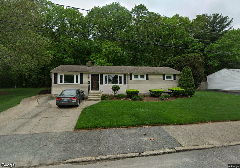
92 Mockingbird Dr Cranston, RI 02920
Thornton NeighborhoodEstimated Value: $454,037 - $526,000
3
Beds
2
Baths
1,344
Sq Ft
$354/Sq Ft
Est. Value
About This Home
This home is located at 92 Mockingbird Dr, Cranston, RI 02920 and is currently estimated at $475,259, approximately $353 per square foot. 92 Mockingbird Dr is a home located in Providence County with nearby schools including Stone Hill School, Western Hills Middle School, and Cranston High School West.
Ownership History
Date
Name
Owned For
Owner Type
Purchase Details
Closed on
Aug 20, 1993
Sold by
Malhotra Vijay and Malhotra Mrinal
Bought by
Chalmers John J and Chalmers Lynne
Current Estimated Value
Create a Home Valuation Report for This Property
The Home Valuation Report is an in-depth analysis detailing your home's value as well as a comparison with similar homes in the area
Home Values in the Area
Average Home Value in this Area
Purchase History
| Date | Buyer | Sale Price | Title Company |
|---|---|---|---|
| Chalmers John J | $109,500 | -- |
Source: Public Records
Mortgage History
| Date | Status | Borrower | Loan Amount |
|---|---|---|---|
| Open | Chalmers John J | $180,457 | |
| Closed | Chalmers John J | $185,948 | |
| Closed | Chalmers John J | $155,000 | |
| Closed | Chalmers John J | $120,500 |
Source: Public Records
Tax History
| Year | Tax Paid | Tax Assessment Tax Assessment Total Assessment is a certain percentage of the fair market value that is determined by local assessors to be the total taxable value of land and additions on the property. | Land | Improvement |
|---|---|---|---|---|
| 2025 | $5,159 | $371,700 | $138,700 | $233,000 |
| 2024 | $5,059 | $371,700 | $138,700 | $233,000 |
| 2023 | $4,882 | $258,300 | $99,600 | $158,700 |
| 2022 | $4,781 | $258,300 | $99,600 | $158,700 |
| 2021 | $4,649 | $258,300 | $99,600 | $158,700 |
| 2020 | $4,559 | $219,500 | $99,600 | $119,900 |
| 2019 | $4,559 | $219,500 | $99,600 | $119,900 |
| 2018 | $4,454 | $219,500 | $99,600 | $119,900 |
| 2017 | $4,184 | $182,400 | $79,700 | $102,700 |
| 2016 | $4,095 | $182,400 | $79,700 | $102,700 |
| 2015 | $4,095 | $182,400 | $79,700 | $102,700 |
| 2014 | $4,018 | $175,900 | $79,700 | $96,200 |
Source: Public Records
Map
Nearby Homes
- 244 Stony Acre Dr
- 44 Village Ave
- 65 Traymore St
- 46 Lake Garden Dr
- 71 Elite Dr
- 74 Woodside St
- 75 Elite Dr
- 51 Janet Dr
- 72 Westfield Dr
- 333 Phenix Ave
- 20 Doreen Ct
- 0 Macera Dr
- 0 Phenix Ave Unit 1408504
- 00 Burton St
- 93 Elena St
- 77 Rockwood Ave
- 1757 Plainfield Pike
- 60 Imperial Ave
- 1603 Plainfield Pike Unit G8
- 9 Baker St
- 100 Mockingbird Dr
- 82 Mockingbird Dr
- 93 Mockingbird Dr
- 75 Mockingbird Dr
- 74 Mockingbird Dr
- 301 Stony Acre Dr
- 242 Lake Garden Dr
- 114 Mockingbird Dr
- 298 Stony Acre Dr
- 293 Stony Acre Dr
- 66 Mockingbird Dr
- 63 Mockingbird Dr
- 120 Mockingbird Dr
- 237 Lake Garden Dr
- 290 Stony Acre Dr
- 287 Stony Acre Dr
- 58 Mockingbird Dr
- 11 Mockingbird Dr
- 130 Mockingbird Dr
- 226 Lake Garden Dr
Your Personal Tour Guide
Ask me questions while you tour the home.