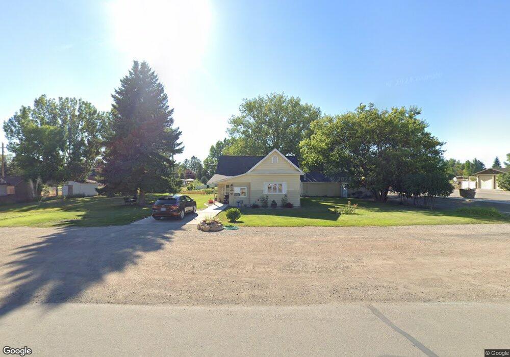
92 N Division St Cowley, WY 82420
Estimated Value: $170,000 - $316,000
2
Beds
1
Bath
1,200
Sq Ft
$188/Sq Ft
Est. Value
About This Home
This home is located at 92 N Division St, Cowley, WY 82420 and is currently estimated at $225,180, approximately $187 per square foot. 92 N Division St is a home.
Ownership History
Date
Name
Owned For
Owner Type
Purchase Details
Closed on
Sep 24, 2025
Sold by
Croft Edward M and Croft Louise Welch
Bought by
Croft Scott Golden and Croft Amber Lyn
Current Estimated Value
Purchase Details
Closed on
Sep 18, 2019
Sold by
Croft Edward M and Welch-Croft Louise
Bought by
Croft Edward M and Welch-Croft Louise
Purchase Details
Closed on
Jun 19, 2014
Sold by
Welch Croft Edward M and Welch Croft
Bought by
Croft Edward M and Croft Louise Welch
Home Financials for this Owner
Home Financials are based on the most recent Mortgage that was taken out on this home.
Original Mortgage
$103,171
Interest Rate
4.04%
Mortgage Type
Unknown
Purchase Details
Closed on
Mar 18, 2013
Sold by
Marchant John A
Bought by
Welch Croft Edward M and Welch Croft Louise
Home Financials for this Owner
Home Financials are based on the most recent Mortgage that was taken out on this home.
Original Mortgage
$84,800
Interest Rate
3.59%
Mortgage Type
Future Advance Clause Open End Mortgage
Create a Home Valuation Report for This Property
The Home Valuation Report is an in-depth analysis detailing your home's value as well as a comparison with similar homes in the area
Home Values in the Area
Average Home Value in this Area
Purchase History
| Date | Buyer | Sale Price | Title Company |
|---|---|---|---|
| Croft Scott Golden | -- | First American Title | |
| Croft Scott Golden | -- | First American Title | |
| Croft Edward M | -- | -- | |
| Croft Edward M | -- | None Available | |
| Welch Croft Edward M | -- | None Available |
Source: Public Records
Mortgage History
| Date | Status | Borrower | Loan Amount |
|---|---|---|---|
| Previous Owner | Croft Edward M | $103,171 | |
| Previous Owner | Welch Croft Edward M | $84,800 |
Source: Public Records
Tax History Compared to Growth
Tax History
| Year | Tax Paid | Tax Assessment Tax Assessment Total Assessment is a certain percentage of the fair market value that is determined by local assessors to be the total taxable value of land and additions on the property. | Land | Improvement |
|---|---|---|---|---|
| 2025 | $1,140 | $10,365 | $2,009 | $8,356 |
| 2024 | $1,140 | $14,896 | $4,458 | $10,438 |
| 2023 | $1,015 | $13,264 | $3,132 | $10,132 |
| 2022 | $863 | $11,277 | $2,034 | $9,243 |
| 2021 | $776 | $10,146 | $2,034 | $8,112 |
| 2020 | $775 | $10,127 | $1,749 | $8,378 |
| 2019 | $749 | $9,792 | $1,702 | $8,090 |
| 2018 | $743 | $9,715 | $1,607 | $8,108 |
| 2017 | $771 | $10,078 | $1,794 | $8,284 |
| 2016 | $742 | $9,697 | $0 | $0 |
| 2015 | -- | $9,003 | $0 | $0 |
| 2014 | -- | $8,498 | $0 | $0 |
| 2013 | -- | $9,067 | $1,692 | $7,375 |
Source: Public Records
Map
Nearby Homes
- 85 E 1st St N
- TBD Ln 6
- 105 W 2nd St N
- TBD 2nd St E Unit 4
- 147 S 4th St
- 11 Sundown Dr Unit 5
- 828 Lane 8
- 725 Road 6 1 2
- TBD Lane 12
- 308 Hampshire Ave
- 459 Idaho Ave
- 272 Park Ave
- 5 E 3rd St
- 240 E 2nd St Unit 1
- 1014 Lane 12
- 527 Shoshone Ave
- 1039 Lane 12
- TBD Benchview Ct Unit 3
- 11 Benchview Ln
- 63 W 7th St
- 92 Division St
- 56 N Division St
- 58 W 1st St N
- 110 N Division St
- 30 S Division St
- 30 N Division St
- 27 1st St N
- 27 W Main St
- 91 N 1st St W
- TBD Division St
- 156 N Division St
- 77 W Main
- 103 N 1st St W
- 0 Lane 8 1 2 Unit 10002958
- 92 S 6th St E Unit 15
- TBD Cannery Rd
- 0 Road 7 Unit 10011722
- 0 Road 7 Unit 10011721
- 196 N Division St
- 51 Main St