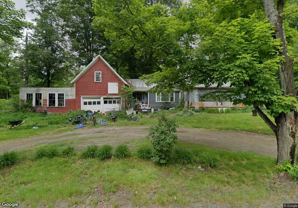
92 Norton Hill Rd Strong, ME 04983
Estimated Value: $106,779 - $251,000
3
Beds
1
Bath
1,090
Sq Ft
$173/Sq Ft
Est. Value
About This Home
This home is located at 92 Norton Hill Rd, Strong, ME 04983 and is currently estimated at $188,695, approximately $173 per square foot. 92 Norton Hill Rd is a home located in Franklin County with nearby schools including Mt. Abram Regional High School.
Ownership History
Date
Name
Owned For
Owner Type
Purchase Details
Closed on
Sep 30, 2014
Sold by
Gill R A R and Gill Susan E
Bought by
Hall Darrell and Hall Carol
Current Estimated Value
Home Financials for this Owner
Home Financials are based on the most recent Mortgage that was taken out on this home.
Original Mortgage
$65,000
Outstanding Balance
$49,869
Interest Rate
4.12%
Mortgage Type
Commercial
Estimated Equity
$138,826
Create a Home Valuation Report for This Property
The Home Valuation Report is an in-depth analysis detailing your home's value as well as a comparison with similar homes in the area
Home Values in the Area
Average Home Value in this Area
Purchase History
| Date | Buyer | Sale Price | Title Company |
|---|---|---|---|
| Hall Darrell | -- | -- |
Source: Public Records
Mortgage History
| Date | Status | Borrower | Loan Amount |
|---|---|---|---|
| Open | Hall Darrell | $65,000 |
Source: Public Records
Tax History Compared to Growth
Tax History
| Year | Tax Paid | Tax Assessment Tax Assessment Total Assessment is a certain percentage of the fair market value that is determined by local assessors to be the total taxable value of land and additions on the property. | Land | Improvement |
|---|---|---|---|---|
| 2024 | $920 | $52,270 | $26,670 | $25,600 |
| 2023 | $836 | $52,270 | $26,670 | $25,600 |
| 2022 | $826 | $52,270 | $26,670 | $25,600 |
| 2021 | $862 | $52,270 | $26,670 | $25,600 |
| 2020 | $894 | $52,270 | $26,670 | $25,600 |
| 2019 | $930 | $52,270 | $26,670 | $25,600 |
| 2018 | $810 | $52,270 | $26,670 | $25,600 |
| 2017 | $753 | $52,270 | $26,670 | $25,600 |
| 2016 | $742 | $52,270 | $26,670 | $25,600 |
| 2015 | $768 | $52,270 | $26,670 | $25,600 |
| 2013 | $669 | $52,270 | $26,670 | $25,600 |
Source: Public Records
Map
Nearby Homes
- 29 River St
- 44 Norton Hill Rd
- U03-68-C Tbd
- 18 N Main St
- 83 Lambert Hill Rd
- 16 Whitetail Dr
- R-5 13-A Norton Hill Rd
- 22 W Freeman Rd
- 162.7 Collins Dr
- 68 S Strong Rd
- 9 Beechnut Ridge
- MR11 L35 Burbank Hill Rd
- 43 Brookside Ln
- 722 Farmington Rd
- Lot 4 Taylor Hill Rd
- Lot 12 Barker Rd
- 97 Lake St
- 94 New Vineyard Rd
- MR7 L31&37 Taylor Hill Rd
- 152 Johnson Rd
- 95 Norton Hill Rd
- 0 S Strong Rd Unit 844332
- 0 S Strong Rd Unit 546629
- 0 S Strong Rd Unit 321225
- 0 S Strong Rd Unit 321223
- 0 S Strong Rd Unit 303723
- 0 S Strong Rd Unit 260356
- 0 S Strong Rd Unit 735601
- 0 S Strong Rd Unit 260605
- 0 S Strong Rd Unit 621621
- 0 S Strong Rd Unit 557889
- 0 S Strong Rd Unit 228829
- 0 S Strong Rd Unit 211331
- 0 S Strong Rd Unit 888711
- 0 Old East South Strong Rd Unit 973017
- 0 S Strong Road (Rt 149) Unit 1077491
- 0 S Strong Rd Unit 1122569
- 8B1 S Strong Rd
- M R8 L 8B1 S Strong Rd
- 79 Norton Hill Rd