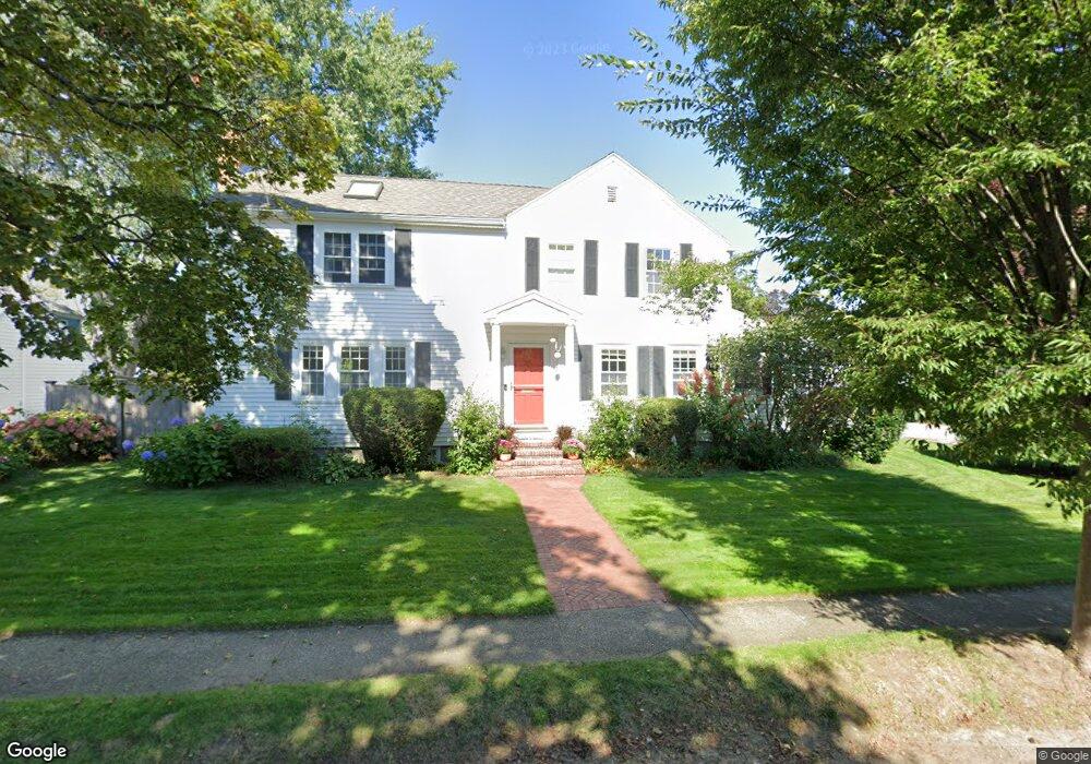
92 Oliver Rd Belmont, MA 02478
Belmont Center NeighborhoodEstimated Value: $1,539,000 - $1,739,000
3
Beds
3
Baths
1,796
Sq Ft
$892/Sq Ft
Est. Value
About This Home
This home is located at 92 Oliver Rd, Belmont, MA 02478 and is currently estimated at $1,602,378, approximately $892 per square foot. 92 Oliver Rd is a home located in Middlesex County with nearby schools including Winn Brook Elementary School, Winthrop L Chenery Middle School, and Belmont High School.
Ownership History
Date
Name
Owned For
Owner Type
Purchase Details
Closed on
Aug 14, 2007
Sold by
Bondurant Kenneth L and Bondurant Michelle L
Bought by
Lloyd Deborah M and Lloyd Kevin J
Current Estimated Value
Home Financials for this Owner
Home Financials are based on the most recent Mortgage that was taken out on this home.
Original Mortgage
$588,000
Outstanding Balance
$373,432
Interest Rate
6.72%
Mortgage Type
Purchase Money Mortgage
Estimated Equity
$1,228,946
Purchase Details
Closed on
Jul 17, 1996
Sold by
Est Mooney Owen and Mooney Peter K
Bought by
Bondurant Kenneth L and Bondurant Michelle L
Home Financials for this Owner
Home Financials are based on the most recent Mortgage that was taken out on this home.
Original Mortgage
$242,250
Interest Rate
8.28%
Mortgage Type
Purchase Money Mortgage
Create a Home Valuation Report for This Property
The Home Valuation Report is an in-depth analysis detailing your home's value as well as a comparison with similar homes in the area
Home Values in the Area
Average Home Value in this Area
Purchase History
| Date | Buyer | Sale Price | Title Company |
|---|---|---|---|
| Lloyd Deborah M | $735,000 | -- | |
| Bondurant Kenneth L | $255,000 | -- |
Source: Public Records
Mortgage History
| Date | Status | Borrower | Loan Amount |
|---|---|---|---|
| Open | Lloyd Deborah M | $588,000 | |
| Previous Owner | Bondurant Kenneth L | $348,750 | |
| Previous Owner | Bondurant Kenneth L | $50,000 | |
| Previous Owner | Bondurant Kenneth L | $239,500 | |
| Previous Owner | Bondurant Kenneth L | $242,250 |
Source: Public Records
Tax History Compared to Growth
Tax History
| Year | Tax Paid | Tax Assessment Tax Assessment Total Assessment is a certain percentage of the fair market value that is determined by local assessors to be the total taxable value of land and additions on the property. | Land | Improvement |
|---|---|---|---|---|
| 2025 | $15,821 | $1,389,000 | $718,000 | $671,000 |
| 2024 | $14,499 | $1,373,000 | $845,000 | $528,000 |
| 2023 | $15,140 | $1,347,000 | $845,000 | $502,000 |
| 2022 | $14,379 | $1,278,000 | $773,000 | $505,000 |
| 2021 | $6,578 | $1,246,000 | $765,000 | $481,000 |
| 2020 | $13,574 | $1,234,000 | $754,000 | $480,000 |
| 2019 | $12,055 | $1,033,000 | $583,000 | $450,000 |
| 2018 | $6,364 | $969,000 | $525,000 | $444,000 |
| 2017 | $5,661 | $922,000 | $482,000 | $440,000 |
| 2016 | $11,543 | $919,000 | $482,000 | $437,000 |
| 2015 | $10,797 | $837,000 | $409,000 | $428,000 |
Source: Public Records
Map
Nearby Homes
- 326 Lake St
- 314 Channing Rd
- 242 Claflin St
- 7 Broad St
- 73 Trowbridge St Unit 73A
- 73 Trowbridge St Unit 73B
- 176 Channing Rd
- 43 Brunswick Rd
- 4 Stony Brook Rd
- 10 Radcliffe Rd
- 55 S Normandy Ave
- 59 Hamilton Rd
- 31 Pondview Rd Unit 33
- 93 Griswold St Unit 93
- 95 Griswold St Unit 95
- 48 Hamilton Rd
- 46 Hamilton Rd
- 23 Loomis St Unit 23
- 125 Claflin St
- 125 Channing Rd