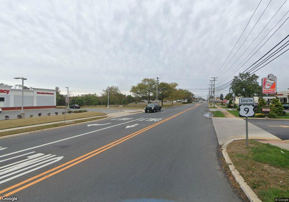
92 Point Rd Marmora, NJ 08223
Estimated Value: $200,000 - $332,000
2
Beds
1
Bath
416
Sq Ft
$584/Sq Ft
Est. Value
About This Home
This home is located at 92 Point Rd, Marmora, NJ 08223 and is currently estimated at $243,112, approximately $584 per square foot. 92 Point Rd is a home located in Cape May County with nearby schools including Upper Township Primary School, Upper Township Elementary School, and Upper Township Middle School.
Ownership History
Date
Name
Owned For
Owner Type
Purchase Details
Closed on
Sep 11, 2018
Sold by
Smith Stephanie and Fitti Frank
Bought by
Lichtenwalner Mark and Lichtenwalner Elizabeth W
Current Estimated Value
Purchase Details
Closed on
Jun 29, 2010
Sold by
Pakyz Max M
Bought by
Smith Stephanie and Fitti Frank
Home Financials for this Owner
Home Financials are based on the most recent Mortgage that was taken out on this home.
Original Mortgage
$126,400
Interest Rate
7%
Mortgage Type
Purchase Money Mortgage
Create a Home Valuation Report for This Property
The Home Valuation Report is an in-depth analysis detailing your home's value as well as a comparison with similar homes in the area
Home Values in the Area
Average Home Value in this Area
Purchase History
| Date | Buyer | Sale Price | Title Company |
|---|---|---|---|
| Lichtenwalner Mark | $129,100 | -- | |
| Smith Stephanie | $120,000 | The Title Company Of Jersey |
Source: Public Records
Mortgage History
| Date | Status | Borrower | Loan Amount |
|---|---|---|---|
| Previous Owner | Smith Stephanie | $126,400 |
Source: Public Records
Tax History Compared to Growth
Tax History
| Year | Tax Paid | Tax Assessment Tax Assessment Total Assessment is a certain percentage of the fair market value that is determined by local assessors to be the total taxable value of land and additions on the property. | Land | Improvement |
|---|---|---|---|---|
| 2025 | $2,963 | $129,100 | $110,000 | $19,100 |
| 2024 | $2,963 | $129,100 | $110,000 | $19,100 |
| 2023 | $2,817 | $129,100 | $110,000 | $19,100 |
| 2022 | $2,714 | $129,100 | $110,000 | $19,100 |
| 2021 | $2,616 | $129,100 | $110,000 | $19,100 |
| 2020 | $2,516 | $129,100 | $110,000 | $19,100 |
| 2019 | $2,449 | $129,100 | $110,000 | $19,100 |
| 2018 | $2,384 | $129,100 | $110,000 | $19,100 |
| 2017 | $2,355 | $129,100 | $110,000 | $19,100 |
| 2016 | $2,395 | $129,100 | $110,000 | $19,100 |
| 2015 | $2,330 | $129,100 | $110,000 | $19,100 |
| 2014 | $2,048 | $139,100 | $120,000 | $19,100 |
Source: Public Records
Map
Nearby Homes
- 430 S Shore Rd
- 14 Roberts Ave
- 246 Egret Ln
- 1 Roosevelt Blvd
- 14 Lyndhurst Rd
- 32 Norwood Rd
- 125 N Shore Rd
- 24 E Timber Dr
- 705 Route Us 9 S
- 734 Stagecoach Rd
- 202 N Shore Rd
- 731 Oceancrest Ave
- 16 Lenape Ln
- 11 Evio John Ct
- 46 Victoria Ln
- 36 E Hollywood Ln
- 4 Bayview Ave
- 19 Bayview Ave
- 100 Bayview Ave
- 11 Red Oak Dr
- 216 Egret Ln Unit 216
- 308 Ibis Ln
- 708 N 34 Seaview Ave
- 516 Route 9 H-16
- 237 Egret
- 204 Egret Ln
- 131 Bayberry Rd
- 216 Egret Ln
- 189 N Lake
- 207 Egret Ln
- 0 0ceanwoods Ave Unit 349209
- 425 S Shore Road 242 Egret Ln Unit 242 Egret Lane
- 2 Whippoorwill Dr
- 176 N Lake Dr
- 516 Route 9 B-24
- 300 Ibis Ln
- 0 Meadowlands Unit 356354
- 806 Route 9
- 1322 S Shore Rd
- 29 Bank Rd
