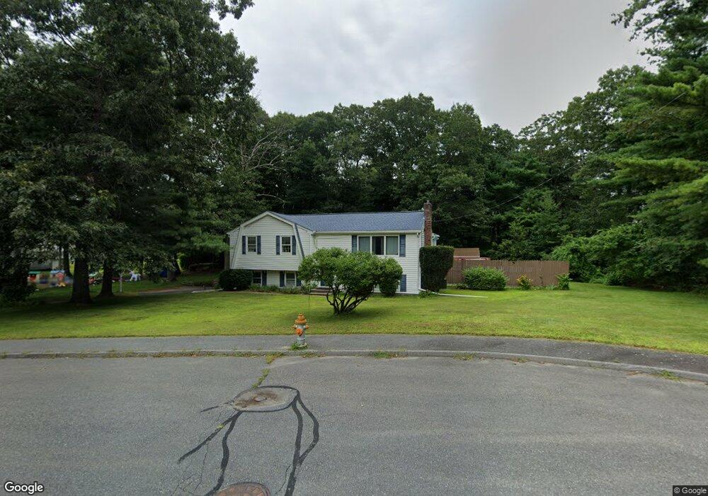
92 Raffaele Rd Marlborough, MA 01752
Estimated Value: $564,000 - $643,000
3
Beds
2
Baths
1,200
Sq Ft
$499/Sq Ft
Est. Value
About This Home
This home is located at 92 Raffaele Rd, Marlborough, MA 01752 and is currently estimated at $599,152, approximately $499 per square foot. 92 Raffaele Rd is a home located in Middlesex County with nearby schools including Marlborough High School, New Covenant Christian School, and Glenhaven Academy - JRI School.
Ownership History
Date
Name
Owned For
Owner Type
Purchase Details
Closed on
May 22, 1987
Sold by
Picconi Alfred J
Bought by
Kelley Thomas S
Current Estimated Value
Home Financials for this Owner
Home Financials are based on the most recent Mortgage that was taken out on this home.
Original Mortgage
$142,400
Interest Rate
9.48%
Mortgage Type
Purchase Money Mortgage
Create a Home Valuation Report for This Property
The Home Valuation Report is an in-depth analysis detailing your home's value as well as a comparison with similar homes in the area
Home Values in the Area
Average Home Value in this Area
Purchase History
| Date | Buyer | Sale Price | Title Company |
|---|---|---|---|
| Kelley Thomas S | $178,000 | -- |
Source: Public Records
Mortgage History
| Date | Status | Borrower | Loan Amount |
|---|---|---|---|
| Open | Kelley Thomas S | $260,000 | |
| Closed | Kelley Thomas S | $25,000 | |
| Closed | Kelley Thomas S | $138,400 | |
| Closed | Kelley Thomas S | $142,400 |
Source: Public Records
Tax History Compared to Growth
Tax History
| Year | Tax Paid | Tax Assessment Tax Assessment Total Assessment is a certain percentage of the fair market value that is determined by local assessors to be the total taxable value of land and additions on the property. | Land | Improvement |
|---|---|---|---|---|
| 2025 | $5,022 | $509,300 | $232,700 | $276,600 |
| 2024 | $4,875 | $476,100 | $211,600 | $264,500 |
| 2023 | $5,222 | $452,500 | $183,000 | $269,500 |
| 2022 | $5,109 | $389,400 | $174,300 | $215,100 |
| 2021 | $4,889 | $354,300 | $145,300 | $209,000 |
| 2020 | $4,728 | $333,400 | $133,500 | $199,900 |
| 2019 | $4,677 | $332,400 | $135,500 | $196,900 |
| 2018 | $4,799 | $328,000 | $119,600 | $208,400 |
| 2017 | $4,803 | $313,500 | $120,400 | $193,100 |
| 2016 | $4,697 | $306,200 | $120,400 | $185,800 |
| 2015 | $4,384 | $278,200 | $124,500 | $153,700 |
Source: Public Records
Map
Nearby Homes
- 38 Airport Blvd
- 45 Raffaele Rd
- 323 Robert Rd
- 256 Robert Rd
- 114 Lodi Rd
- 37 Hosmer St Unit 10
- 37 Hosmer St Unit 20
- 274 Naugler Ave
- 24 Clinton St
- 16 Clinton St
- 110 Boston Post Rd E Unit 104
- 137 Naugler Ave
- 97 Cook Ln
- 96 Cook Ln
- 57 Paquin Dr
- 25 Walnut St
- 41 Kane Dr
- 211 Stevens St
- 492 Stow Rd
- 93 E Main St
- 82 Raffaele Rd
- 38 Airport Blvd
- 71 Airport Blvd Unit 15-A
- 98 Airport Blvd Unit 8
- 28 Airport Blvd Unit 2
- 49 Airport Blvd
- 37 Airport Blvd
- 17 Airport Blvd Unit 20
- 71 Airport Blvd
- 97 Raffaele Rd
- 134 Kosmas St
- 86 Spoonhill Ave
- 81 Raffaele Rd
- 124 Kosmas St
- 100 Spoonhill Ave
- 133 Kosmas St
- 69 Raffaele Rd
- 44 Spoonhill Ave
- 114 Kosmas St
- 106 Spoonhill Ave