92 Round Pond Rd Little Compton, RI 02837
Estimated Value: $1,714,059 - $2,488,000
3
Beds
3
Baths
1,327
Sq Ft
$1,664/Sq Ft
Est. Value
About This Home
This home is located at 92 Round Pond Rd, Little Compton, RI 02837 and is currently estimated at $2,207,515, approximately $1,663 per square foot. 92 Round Pond Rd is a home located in Newport County with nearby schools including Wilbur & McMahon School.
Ownership History
Date
Name
Owned For
Owner Type
Purchase Details
Closed on
Mar 20, 2021
Sold by
D B Nichols Irt and Levy
Bought by
Levy Marjorie E and Everett Samuel B
Current Estimated Value
Purchase Details
Closed on
Jul 27, 2015
Sold by
Nichols Dorothy B
Bought by
Nichols Dorothy B and Levy Marjorie E
Purchase Details
Closed on
Aug 27, 1981
Bought by
Nichols Dorothy B and Levy Marjorie E
Create a Home Valuation Report for This Property
The Home Valuation Report is an in-depth analysis detailing your home's value as well as a comparison with similar homes in the area
Home Values in the Area
Average Home Value in this Area
Purchase History
| Date | Buyer | Sale Price | Title Company |
|---|---|---|---|
| Levy Marjorie E | -- | None Available | |
| Rose Cottage Llc | -- | None Available | |
| Levy Marjorie E | -- | None Available | |
| Nichols Dorothy B | -- | -- | |
| Nichols Dorothy B | -- | -- | |
| Nichols Dorothy B | -- | -- |
Source: Public Records
Tax History
| Year | Tax Paid | Tax Assessment Tax Assessment Total Assessment is a certain percentage of the fair market value that is determined by local assessors to be the total taxable value of land and additions on the property. | Land | Improvement |
|---|---|---|---|---|
| 2025 | $8,817 | $1,840,800 | $1,592,200 | $248,600 |
| 2024 | $8,046 | $1,583,800 | $1,384,800 | $199,000 |
| 2023 | $7,856 | $1,583,800 | $1,384,800 | $199,000 |
| 2022 | $7,724 | $1,576,300 | $1,384,800 | $191,500 |
| 2021 | $7,229 | $1,196,900 | $1,032,100 | $164,800 |
| 2020 | $7,169 | $1,196,900 | $1,032,100 | $164,800 |
| 2019 | $7,098 | $1,196,900 | $1,032,100 | $164,800 |
| 2018 | $7,143 | $1,198,500 | $1,032,100 | $166,400 |
| 2016 | $6,795 | $1,198,500 | $1,032,100 | $166,400 |
| 2015 | $6,862 | $1,193,400 | $1,016,800 | $176,600 |
| 2014 | $6,731 | $1,193,400 | $1,016,800 | $176,600 |
Source: Public Records
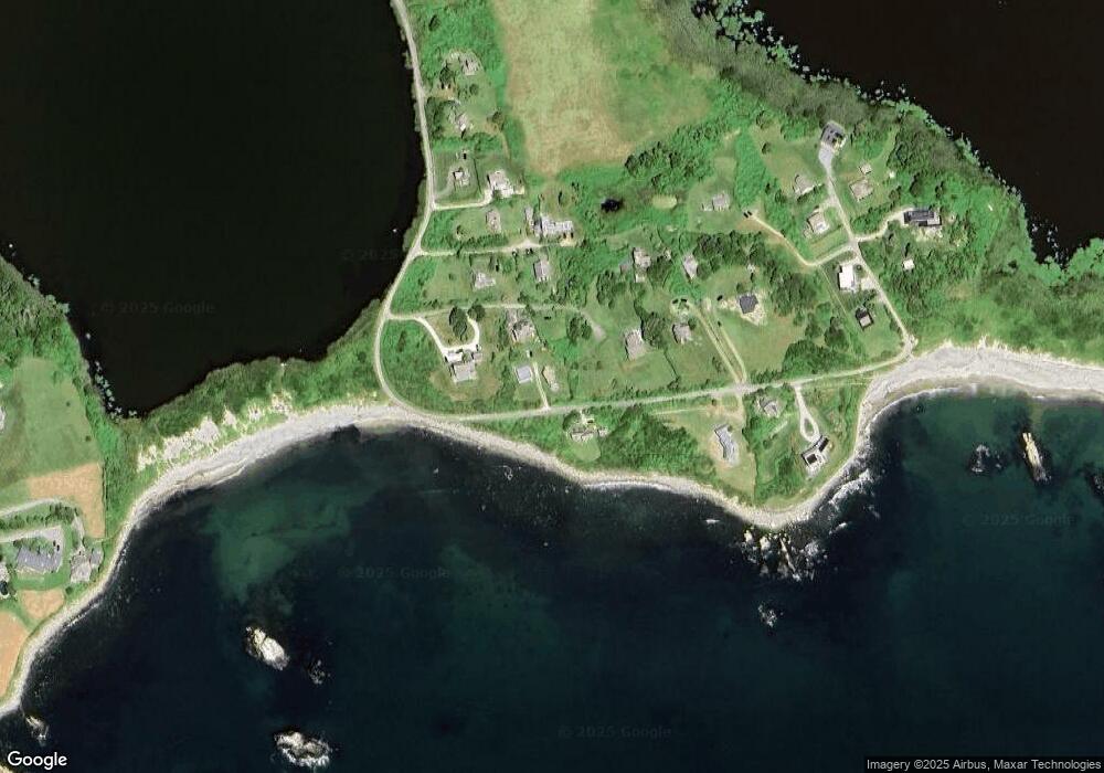
Map
Nearby Homes
- 90 Round Pond Rd
- 80 Round Pond Rd
- 96 Round Pond Rd
- 93 Round Pond Rd
- 82 Round Pond Rd
- 60 Round Pond Rd
- 50 Round Pond Rd
- 56 Round Pond Rd
- 70 Round Pond Rd
- 62 Round Pond Rd
- 98 Round Pond Rd
- 72 Round Pond Rd
- 54 Round Pond Rd
- 58 Round Pond Rd
- 97 Round Pond Rd
- 52 Round Pond Rd
- 48 Round Pond Rd
- 102 Round Pond Rd
- 0 Round Pond Rd
- 99 Round Pond Rd