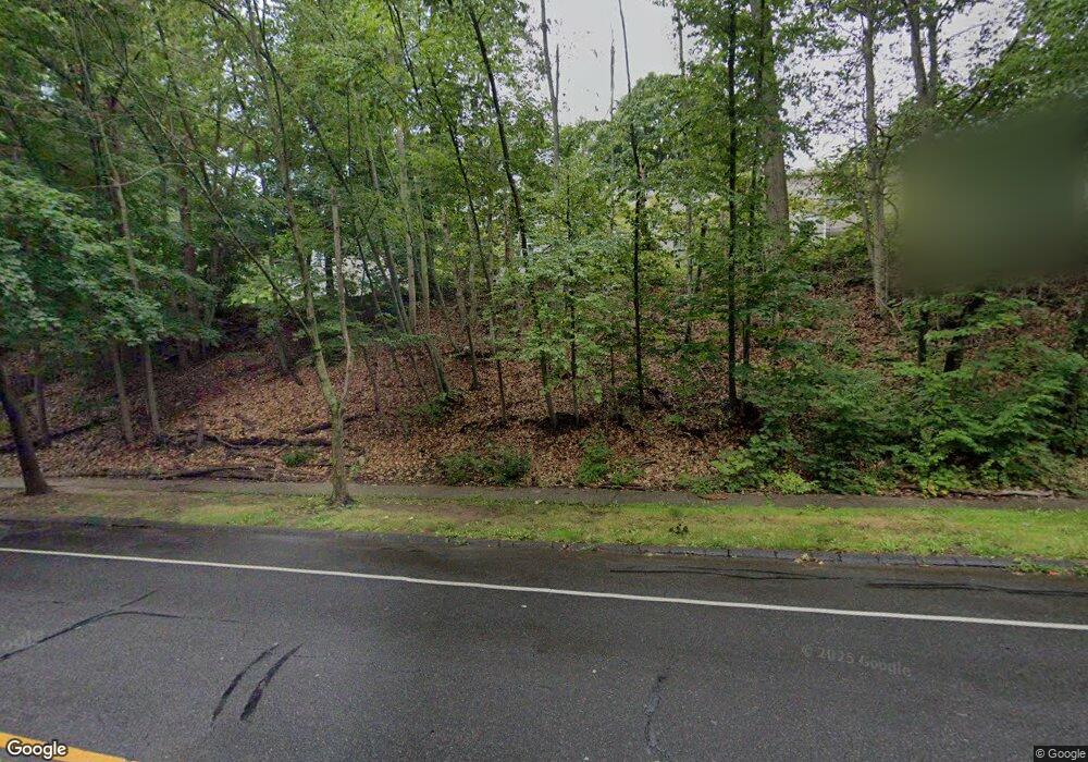
92 Shepard Ave Hamden, CT 06514
Estimated Value: $187,764 - $226,000
2
Beds
2
Baths
568
Sq Ft
$359/Sq Ft
Est. Value
About This Home
This home is located at 92 Shepard Ave, Hamden, CT 06514 and is currently estimated at $204,191, approximately $359 per square foot. 92 Shepard Ave is a home located in New Haven County with nearby schools including Hamden Middle School, Hamden High School, and Alphabet Academy - Hamden North Campus.
Ownership History
Date
Name
Owned For
Owner Type
Purchase Details
Closed on
Sep 4, 2007
Sold by
Holmes Mary A
Bought by
Myerson Jason B
Current Estimated Value
Home Financials for this Owner
Home Financials are based on the most recent Mortgage that was taken out on this home.
Original Mortgage
$129,000
Interest Rate
6.71%
Purchase Details
Closed on
May 31, 1991
Sold by
Lam Cham O and Lam Sikoi H
Bought by
Holmes Mary A
Home Financials for this Owner
Home Financials are based on the most recent Mortgage that was taken out on this home.
Original Mortgage
$50,050
Interest Rate
9.5%
Mortgage Type
Unknown
Create a Home Valuation Report for This Property
The Home Valuation Report is an in-depth analysis detailing your home's value as well as a comparison with similar homes in the area
Home Values in the Area
Average Home Value in this Area
Purchase History
| Date | Buyer | Sale Price | Title Company |
|---|---|---|---|
| Myerson Jason B | $161,250 | -- | |
| Holmes Mary A | $77,000 | -- |
Source: Public Records
Mortgage History
| Date | Status | Borrower | Loan Amount |
|---|---|---|---|
| Open | Holmes Mary A | $131,000 | |
| Closed | Holmes Mary A | $129,000 | |
| Previous Owner | Holmes Mary A | $59,249 | |
| Previous Owner | Holmes Mary A | $50,050 |
Source: Public Records
Tax History
| Year | Tax Paid | Tax Assessment Tax Assessment Total Assessment is a certain percentage of the fair market value that is determined by local assessors to be the total taxable value of land and additions on the property. | Land | Improvement |
|---|---|---|---|---|
| 2025 | $6,668 | $128,520 | $0 | $128,520 |
| 2024 | $3,819 | $68,670 | $0 | $68,670 |
| 2023 | $3,872 | $68,670 | $0 | $68,670 |
| 2022 | $3,810 | $68,670 | $0 | $68,670 |
| 2021 | $3,601 | $68,670 | $0 | $68,670 |
| 2020 | $3,304 | $63,560 | $0 | $63,560 |
| 2019 | $3,106 | $63,560 | $0 | $63,560 |
| 2018 | $3,048 | $63,560 | $0 | $63,560 |
| 2017 | $2,877 | $63,560 | $0 | $63,560 |
| 2016 | $2,883 | $63,560 | $0 | $63,560 |
| 2015 | $4,085 | $99,960 | $0 | $99,960 |
| 2014 | $3,991 | $99,960 | $0 | $99,960 |
Source: Public Records
Map
Nearby Homes
- 136 Shepard Ave Unit 136
- 900 Mix Ave Unit 69
- 900 Mix Ave Unit 123
- 37 Towne House Rd
- 32 Towne House Rd Unit 32
- 248 Centerbrook Rd
- 147 Centerbrook Rd
- 240 Centerbrook Rd Unit 240
- 93 Centerbrook Rd
- 250 Centerbrook Rd
- 141 Worth Ave
- 182 Worth Ave
- 707 Mix Ave Unit 38
- 175 Mill Pond Rd Unit 106
- 114 Colony St
- 2831 Dixwell Ave
- 25 Hamden Hills Dr Unit 69
- 5 Shepard Hill Rd
- 5 van Rose Dr
- 4 Raccio Park Rd
- 96 Shepard Ave
- 94 Shepard Ave
- 88 Shepard Ave
- 82 Shepard Ave
- 96 Shepard Ave Unit 96
- 88 Shepard Ave Unit u88
- 102 Shepard Ave
- 102 Shepard Ave Unit 102
- 78 Shepards Knoll Dr Unit 78
- 52 Shepards Knoll Dr Unit 52
- 60 Shepards Knoll Dr Unit 60
- 94 Shepards Knoll Dr Unit 94
- 76 Shepards Knoll Dr
- 110 Shepards Knoll Dr Unit 110
- 110 Shepards Knoll Dr Unit DRIVE
- 54 Shepards Knoll Dr
- 104 Shepards Knoll Dr Unit 104
- 50 Shepards Knoll Dr Unit 50
- 104 Shepards Knoll Dr Unit DR
- 66 Shepards Knoll Dr
