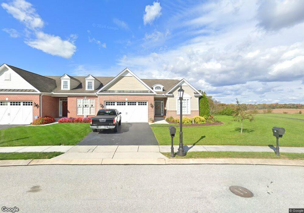
92 St Michaels Way Unit 8 Hanover, PA 17331
Estimated Value: $359,000 - $374,669
2
Beds
2
Baths
1,826
Sq Ft
$202/Sq Ft
Est. Value
About This Home
This home is located at 92 St Michaels Way Unit 8, Hanover, PA 17331 and is currently estimated at $368,917, approximately $202 per square foot. 92 St Michaels Way Unit 8 is a home located in Adams County with nearby schools including New Oxford Senior High School, St. Teresa of Calcutta Catholic School - McSherrystown Campus, and St. Teresa of Calcutta Catholic School - Conewago Campus.
Ownership History
Date
Name
Owned For
Owner Type
Purchase Details
Closed on
Oct 25, 2010
Sold by
Federal Home Loan Mortgage Corporation
Bought by
Marchio Michael A and Marchio Shirley A
Current Estimated Value
Purchase Details
Closed on
Jul 14, 2010
Sold by
Nazelrod Michael E and Ocwen Loan Servicing Llc
Bought by
Federal Home Loan Mortgage Corporation
Create a Home Valuation Report for This Property
The Home Valuation Report is an in-depth analysis detailing your home's value as well as a comparison with similar homes in the area
Home Values in the Area
Average Home Value in this Area
Purchase History
| Date | Buyer | Sale Price | Title Company |
|---|---|---|---|
| Marchio Michael A | $1,879,000 | -- | |
| Federal Home Loan Mortgage Corporation | -- | -- |
Source: Public Records
Tax History Compared to Growth
Tax History
| Year | Tax Paid | Tax Assessment Tax Assessment Total Assessment is a certain percentage of the fair market value that is determined by local assessors to be the total taxable value of land and additions on the property. | Land | Improvement |
|---|---|---|---|---|
| 2025 | $6,672 | $278,600 | $57,300 | $221,300 |
| 2024 | $6,162 | $278,600 | $57,300 | $221,300 |
| 2023 | $5,935 | $278,600 | $57,300 | $221,300 |
| 2022 | $5,753 | $278,600 | $57,300 | $221,300 |
| 2021 | $5,606 | $278,600 | $57,300 | $221,300 |
| 2020 | $5,614 | $278,600 | $57,300 | $221,300 |
| 2019 | $5,362 | $278,600 | $57,300 | $221,300 |
| 2018 | $5,249 | $278,600 | $57,300 | $221,300 |
| 2017 | $5,033 | $278,600 | $57,300 | $221,300 |
| 2016 | -- | $278,600 | $57,300 | $221,300 |
| 2015 | -- | $278,600 | $57,300 | $221,300 |
| 2014 | -- | $278,600 | $57,300 | $221,300 |
Source: Public Records
Map
Nearby Homes
- 152 St Michaels Way Unit 18
- 51 Michael St Unit 6
- 124 Flint Dr Unit 61
- 105 Flint Dr
- 108 Flint Dr
- 3211 Centennial Rd
- 5955 Hanover Rd
- 73 Flint Dr
- 11 Flint Dr
- 24 Red Stone Ln Unit 47
- 62 Flint Dr
- 11 Shawl Dr
- 54 Flint Dr
- 46 Flint Dr
- 84 Red Stone Ln Unit 41
- 92 Red Stone Ln Unit 40
- 9 Westview Dr Unit 2A
- 1 Sease Dr Unit 1
- 49 North St
- 128 North St
- 0 Saint Michaels Way Unit AD7904274
- 0 Saint Michaels Way Unit AD7904406
- 86 Saint Michaels Way
- 86 St Michaels Way Unit 7
- 95 St Michaels Way Unit 38
- 98 St Michaels Way Unit 9
- 80 St Michaels Way Unit 6
- 0 Saint Michaels Way Unit AD7924720
- 0 Saint Michaels Way Unit AD7904309
- 0 Saint Michaels Way Unit 1009685066
- 0 Saint Michaels Way Unit 1009663738
- 0 Saint Michaels Way Unit 1009663608
- 0 Saint Michaels Way Unit 1009663402
- 104 Saint Michaels Way
- 95 Saint Michaels Way
- 104 St Michaels Way Unit 10
- 77 St Michaels Way Unit 37
- 74 St Michaels Way Unit 5
- 115 St Michaels Way Unit 39
- 110 St Michaels Way Unit 11