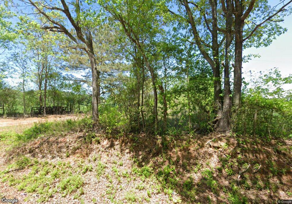
92 Stegall Rd Temple, GA 30179
Abilene NeighborhoodEstimated Value: $175,825 - $200,000
2
Beds
1
Bath
1,024
Sq Ft
$181/Sq Ft
Est. Value
About This Home
This home is located at 92 Stegall Rd, Temple, GA 30179 and is currently estimated at $185,206, approximately $180 per square foot. 92 Stegall Rd is a home located in Carroll County with nearby schools including Sharp Creek Elementary School, Temple Middle School, and Temple High School.
Ownership History
Date
Name
Owned For
Owner Type
Purchase Details
Closed on
May 24, 2019
Sold by
Frashier Robby
Bought by
Wilburn Brian Michael
Current Estimated Value
Purchase Details
Closed on
Mar 9, 2007
Sold by
Lambert Pamela H
Bought by
Allgood Seth
Purchase Details
Closed on
Jan 22, 2007
Sold by
Lambert Pamela H
Bought by
Lambert Pamela H and Mackinnon Moria H
Purchase Details
Closed on
Aug 30, 1995
Sold by
Lambert Pamela H
Bought by
Lambert Pamela H
Purchase Details
Closed on
Dec 2, 1980
Bought by
Hamrick
Create a Home Valuation Report for This Property
The Home Valuation Report is an in-depth analysis detailing your home's value as well as a comparison with similar homes in the area
Home Values in the Area
Average Home Value in this Area
Purchase History
| Date | Buyer | Sale Price | Title Company |
|---|---|---|---|
| Wilburn Brian Michael | $100,000 | -- | |
| Allgood Seth | $35,000 | -- | |
| Lambert Pamela H | -- | -- | |
| Lambert Pamela H | -- | -- | |
| Hamrick | -- | -- |
Source: Public Records
Tax History
| Year | Tax Paid | Tax Assessment Tax Assessment Total Assessment is a certain percentage of the fair market value that is determined by local assessors to be the total taxable value of land and additions on the property. | Land | Improvement |
|---|---|---|---|---|
| 2025 | $969 | $57,427 | $5,570 | $51,857 |
| 2024 | $980 | $57,427 | $5,570 | $51,857 |
| 2023 | $980 | $51,874 | $4,456 | $47,418 |
| 2022 | $780 | $40,981 | $2,971 | $38,010 |
| 2021 | $698 | $35,327 | $2,377 | $32,950 |
| 2020 | $630 | $31,548 | $2,161 | $29,387 |
| 2019 | $594 | $29,354 | $2,161 | $27,193 |
| 2018 | $548 | $26,397 | $2,019 | $24,378 |
| 2017 | $549 | $26,397 | $2,019 | $24,378 |
| 2016 | $542 | $25,971 | $2,019 | $23,952 |
| 2015 | $445 | $19,902 | $2,863 | $17,040 |
| 2014 | $447 | $19,903 | $2,863 | $17,040 |
Source: Public Records
Map
Nearby Homes
- 0 Old Center Point Rd Unit 10576496
- 0 Old Center Point Rd Unit 50
- 1249 Center Point Rd
- 2231 Georgia 113
- 446 McGukin Rd
- 301 Spruill Bridge Rd
- Jordan Plan at Azalea Hills
- 126 Meadowview Dr
- 126 Meadowview Dr Unit 13
- 124 Meadowview Dr
- 116 Meadowview Dr
- 116 Meadowview Dr Unit 8
- 122 Meadowview Dr
- 118 Meadowview Dr
- 120 Meadowview Dr
- 120 Meadowview Dr Unit 10
- 114 Meadowview Dr Unit 7
- 124 Meadowview Dr Unit 12
- 114 Meadowview Dr
- 118 Meadowview Dr Unit 9
- 0 Spinks Rd
- 0 Spinks Rd Unit 8072913
- 1290A Oak Grove Rd
- 997 Oak Grove Rd
- 716 Oak Grove Rd
- 320 Spinks Rd
- 399 Spinks Rd
- 57 Hamrick Rd
- 376 Spinks Rd
- 365 Spinks Rd
- 340 Spinks Rd
- 358 Spinks Rd
- 1041 Oak Grove Rd
- 453 Spinks Rd
- 615 Oak Grove Rd
- 1052 Oak Grove Rd
- 550 Gardner Rd
- 592 Oak Grove Rd
- 500 Gardner Rd
- 501 Chalkley Rd
