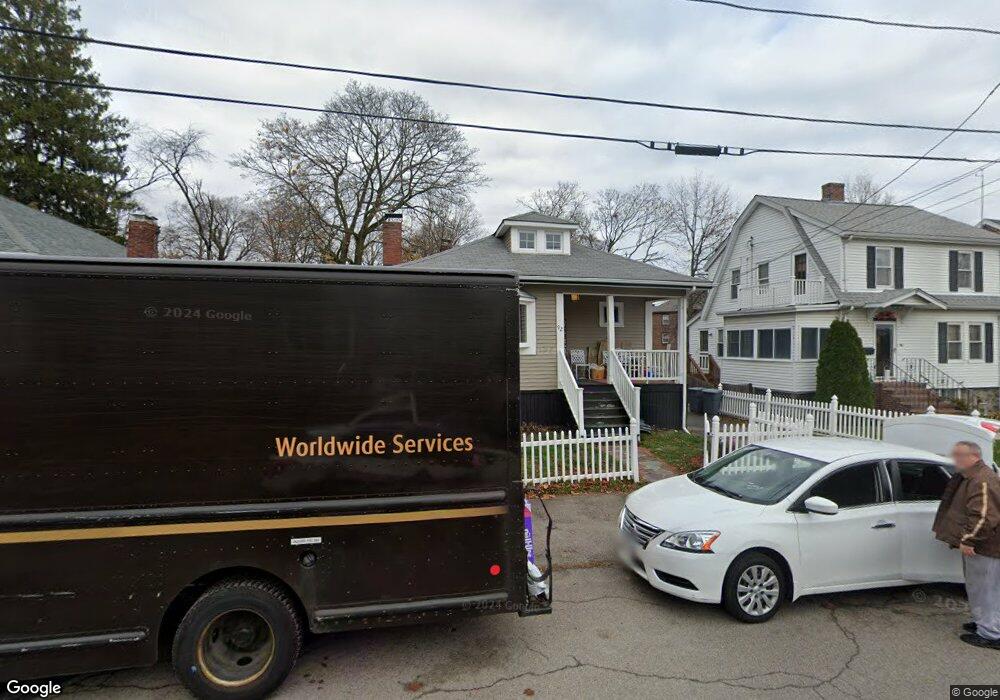
92 Thornton St Quincy, MA 02170
Wollaston NeighborhoodEstimated Value: $603,329 - $645,000
2
Beds
1
Bath
1,016
Sq Ft
$608/Sq Ft
Est. Value
About This Home
This home is located at 92 Thornton St, Quincy, MA 02170 and is currently estimated at $617,582, approximately $607 per square foot. 92 Thornton St is a home located in Norfolk County with nearby schools including Beechwood Knoll Elementary School, Central Middle School, and North Quincy High School.
Ownership History
Date
Name
Owned For
Owner Type
Purchase Details
Closed on
Mar 5, 2021
Sold by
Ring Debra
Bought by
Deery Hugh and Deery Debra
Current Estimated Value
Purchase Details
Closed on
Nov 26, 2003
Sold by
Pintando-Espiet Maribel and Espiet Maribel P
Bought by
Ring Debra
Home Financials for this Owner
Home Financials are based on the most recent Mortgage that was taken out on this home.
Original Mortgage
$313,500
Interest Rate
6.09%
Mortgage Type
Purchase Money Mortgage
Purchase Details
Closed on
Jun 24, 2002
Sold by
Krigsman Cherie L
Bought by
Espiet Maribel
Purchase Details
Closed on
Apr 30, 1998
Sold by
Ingram Heather
Bought by
Krigsman Cherie L
Create a Home Valuation Report for This Property
The Home Valuation Report is an in-depth analysis detailing your home's value as well as a comparison with similar homes in the area
Home Values in the Area
Average Home Value in this Area
Purchase History
| Date | Buyer | Sale Price | Title Company |
|---|---|---|---|
| Deery Hugh | -- | None Available | |
| Ring Debra | $330,000 | -- | |
| Espiet Maribel | $270,000 | -- | |
| Krigsman Cherie L | $141,000 | -- |
Source: Public Records
Mortgage History
| Date | Status | Borrower | Loan Amount |
|---|---|---|---|
| Previous Owner | Ring Debra | $313,500 | |
| Previous Owner | Krigsman Cherie L | $35,000 | |
| Previous Owner | Krigsman Cherie L | $25,000 | |
| Previous Owner | Krigsman Cherie L | $230,000 |
Source: Public Records
Tax History Compared to Growth
Tax History
| Year | Tax Paid | Tax Assessment Tax Assessment Total Assessment is a certain percentage of the fair market value that is determined by local assessors to be the total taxable value of land and additions on the property. | Land | Improvement |
|---|---|---|---|---|
| 2025 | $6,591 | $571,600 | $336,500 | $235,100 |
| 2024 | $6,476 | $574,600 | $336,500 | $238,100 |
| 2023 | $6,243 | $560,900 | $320,500 | $240,400 |
| 2022 | $5,862 | $489,300 | $256,400 | $232,900 |
| 2021 | $5,173 | $426,100 | $256,400 | $169,700 |
| 2020 | $5,017 | $403,600 | $256,400 | $147,200 |
| 2019 | $4,733 | $377,100 | $239,600 | $137,500 |
| 2018 | $4,610 | $345,600 | $217,800 | $127,800 |
| 2017 | $4,687 | $330,800 | $217,800 | $113,000 |
| 2016 | $4,396 | $306,100 | $198,000 | $108,100 |
| 2015 | $4,050 | $277,400 | $180,000 | $97,400 |
| 2014 | $3,834 | $258,000 | $171,500 | $86,500 |
Source: Public Records
Map
Nearby Homes
- 100 Thornton St
- 14 Ridgeway St
- 140 Phillips St
- 35 Estabrook Rd
- 41 Randlett St
- 88 Furnace Brook Pkwy
- 163 Clay St Unit C
- 41 Davis St
- 65 - 67 Davis St
- 101 Beach St
- 22 Newton Ave
- 14 Samoset Ave
- 165 Old Colony Ave Unit A
- 11 Earle St
- 45 Oval Rd Unit 6
- 43 Ellington Rd
- 4 Agawam Rd
- 1427 Quincy Shore Dr
- 111 Warren Ave Unit 1F
- 365 Newport Ave Unit 301
- 88 Thornton St
- 96 Thornton St
- 84 Thornton St
- 21 Langley Cir Unit 2
- 23 Langley Cir Unit 1
- 23 Langley Cir Unit 2
- 17 Langley Cir Unit 1
- 93 Thornton St
- 15 Langley Cir Unit 2
- 80 Thornton St
- 83 Thornton St
- 7 Langley Cir Unit 1
- 81 Thornton St
- 25 Langley Cir Unit 2
- 183 Fenno St
- 183 Fenno St Unit 1
- 240 Marlboro St
- 240 Marlboro St Unit 2
- 242 Marlboro St
- 191 Fenno St Unit 1