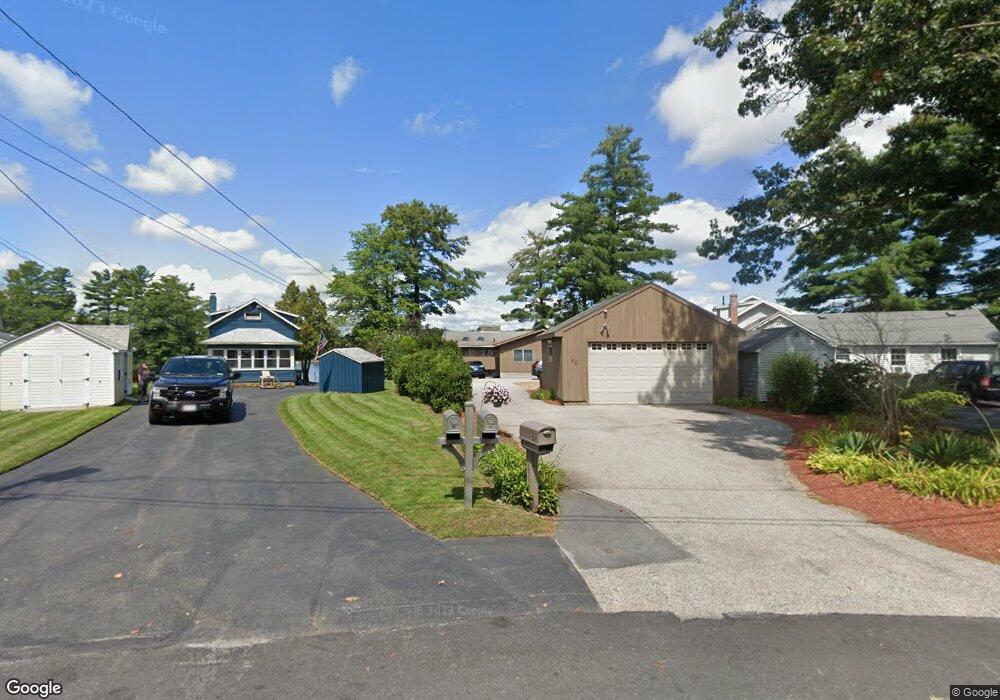
92 Union Point Rd Webster, MA 01570
Estimated Value: $845,092 - $1,080,000
3
Beds
2
Baths
2,335
Sq Ft
$404/Sq Ft
Est. Value
About This Home
This home is located at 92 Union Point Rd, Webster, MA 01570 and is currently estimated at $943,773, approximately $404 per square foot. 92 Union Point Rd is a home located in Worcester County with nearby schools including Park Avenue Elementary School, Webster Middle School, and Bartlett High School.
Ownership History
Date
Name
Owned For
Owner Type
Purchase Details
Closed on
Sep 2, 2021
Sold by
Ammerman Karen S
Bought by
Karen S Ammerman Ret
Current Estimated Value
Purchase Details
Closed on
Aug 26, 2021
Sold by
William J Devito Ft
Bought by
Ammerman Karen S
Purchase Details
Closed on
May 1, 1991
Sold by
Holke Mary and Bourdeau Robert N
Bought by
Devito William J and Ammerman Karen S
Home Financials for this Owner
Home Financials are based on the most recent Mortgage that was taken out on this home.
Original Mortgage
$175,000
Interest Rate
9.55%
Mortgage Type
Purchase Money Mortgage
Create a Home Valuation Report for This Property
The Home Valuation Report is an in-depth analysis detailing your home's value as well as a comparison with similar homes in the area
Home Values in the Area
Average Home Value in this Area
Purchase History
| Date | Buyer | Sale Price | Title Company |
|---|---|---|---|
| Karen S Ammerman Ret | -- | None Available | |
| William J Devito Ft | -- | None Available | |
| Ammerman Karen S | -- | None Available | |
| Devito William J | $190,000 | -- |
Source: Public Records
Mortgage History
| Date | Status | Borrower | Loan Amount |
|---|---|---|---|
| Previous Owner | Devito William J | $175,000 | |
| Previous Owner | Devito William J | $152,000 |
Source: Public Records
Tax History
| Year | Tax Paid | Tax Assessment Tax Assessment Total Assessment is a certain percentage of the fair market value that is determined by local assessors to be the total taxable value of land and additions on the property. | Land | Improvement |
|---|---|---|---|---|
| 2025 | $10,080 | $848,500 | $471,300 | $377,200 |
| 2024 | $9,422 | $773,600 | $410,200 | $363,400 |
| 2023 | $8,941 | $715,300 | $390,500 | $324,800 |
| 2022 | $8,866 | $635,100 | $347,300 | $287,800 |
| 2021 | $9,188 | $608,500 | $347,300 | $261,200 |
| 2020 | $9,066 | $602,000 | $347,300 | $254,700 |
| 2019 | $8,839 | $576,600 | $347,300 | $229,300 |
| 2018 | $8,637 | $561,200 | $347,300 | $213,900 |
| 2017 | $8,279 | $547,200 | $351,800 | $195,400 |
| 2016 | $7,467 | $493,200 | $303,000 | $190,200 |
| 2015 | $7,020 | $478,200 | $297,000 | $181,200 |
Source: Public Records
Map
Nearby Homes
- 94 Union Point Rd
- 90 Union Point Rd
- 96 Union Point Rd
- 98 Union Point Rd
- 98 Union Point Rd Unit 1
- 91 Union Point Rd
- 86 Union Point Rd
- 89 Union Point Rd
- 100 Union Point Rd
- 87 Union Point Rd
- 102 Union Point Rd
- 84 Union Point Rd
- 43 Union Point Rd
- 49 Union Point Rd
- 104 Union Point Rd
- 81 Union Point Rd
- 82 Union Point Rd
- 51 Union Point Rd
- 29 Union Point Rd
- 29 Union Point Rd Unit 1
Your Personal Tour Guide
Ask me questions while you tour the home.