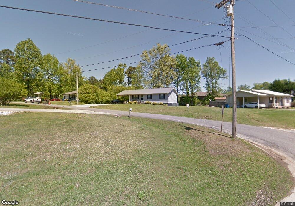
92 Vandy Cir Guntersville, AL 35976
Estimated Value: $139,336 - $235,000
--
Bed
--
Bath
1,152
Sq Ft
$156/Sq Ft
Est. Value
About This Home
This home is located at 92 Vandy Cir, Guntersville, AL 35976 and is currently estimated at $179,334, approximately $155 per square foot. 92 Vandy Cir is a home with nearby schools including Robert D. Sloman Primary School, Douglas Elementary School, and Douglas Middle School.
Ownership History
Date
Name
Owned For
Owner Type
Purchase Details
Closed on
Oct 20, 2022
Sold by
Hight Britney Nicole
Bought by
Hight Frederick Markes Ellis
Current Estimated Value
Purchase Details
Closed on
Sep 9, 2015
Sold by
Elkins Brandon Tyler
Bought by
Hight Lashay and Elkins Lashay Hight
Purchase Details
Closed on
May 18, 2012
Sold by
Patterson Stanley and Paterson Susan
Bought by
Hight Valarie Lashay and Hight Frederick Markeese Ellis
Home Financials for this Owner
Home Financials are based on the most recent Mortgage that was taken out on this home.
Original Mortgage
$80,612
Interest Rate
3.9%
Mortgage Type
New Conventional
Create a Home Valuation Report for This Property
The Home Valuation Report is an in-depth analysis detailing your home's value as well as a comparison with similar homes in the area
Home Values in the Area
Average Home Value in this Area
Purchase History
| Date | Buyer | Sale Price | Title Company |
|---|---|---|---|
| Hight Frederick Markes Ellis | -- | -- | |
| Hight Lashay | -- | None Available | |
| Hight Valarie Lashay | -- | None Available |
Source: Public Records
Mortgage History
| Date | Status | Borrower | Loan Amount |
|---|---|---|---|
| Previous Owner | Hight Valarie Lashay | $80,612 |
Source: Public Records
Tax History Compared to Growth
Tax History
| Year | Tax Paid | Tax Assessment Tax Assessment Total Assessment is a certain percentage of the fair market value that is determined by local assessors to be the total taxable value of land and additions on the property. | Land | Improvement |
|---|---|---|---|---|
| 2024 | $237 | $7,240 | $0 | $0 |
| 2023 | $219 | $7,240 | $500 | $6,740 |
| 2022 | $219 | $7,240 | $0 | $0 |
| 2021 | $212 | $7,060 | $0 | $0 |
| 2020 | $171 | $5,960 | $0 | $0 |
| 2017 | $185 | $6,340 | $0 | $0 |
| 2015 | -- | $5,000 | $0 | $0 |
| 2014 | -- | $5,000 | $0 | $0 |
Source: Public Records
Map
Nearby Homes
- 2020 Ridge Crest Dr
- 381 Red Barn Rd
- 43 Red Barn Rd
- 7009 J W Darnell Ave
- 47 Ogle Rd
- 1.94 Acres S Us Highway 431
- 6608 Cannon Ave
- 16-17-1 Jarmon Rd
- 6141 Sherry Dr
- 4.63 acres Lee St
- Lots 5,6,7 Cherrywood Dr
- Lot 9 Cherrywood Dr
- 71 Clyde Cir
- Lot 4 Cherrywood Dr
- Lot 3 Cherrywood Dr
- 78 Vickie Ln
- A Lot 9 Cardinal Dr
- A Lot 16 Cardinal Dr
- B Lot 17 Cardinal Dr
- Lot 15 Cardinal Dr