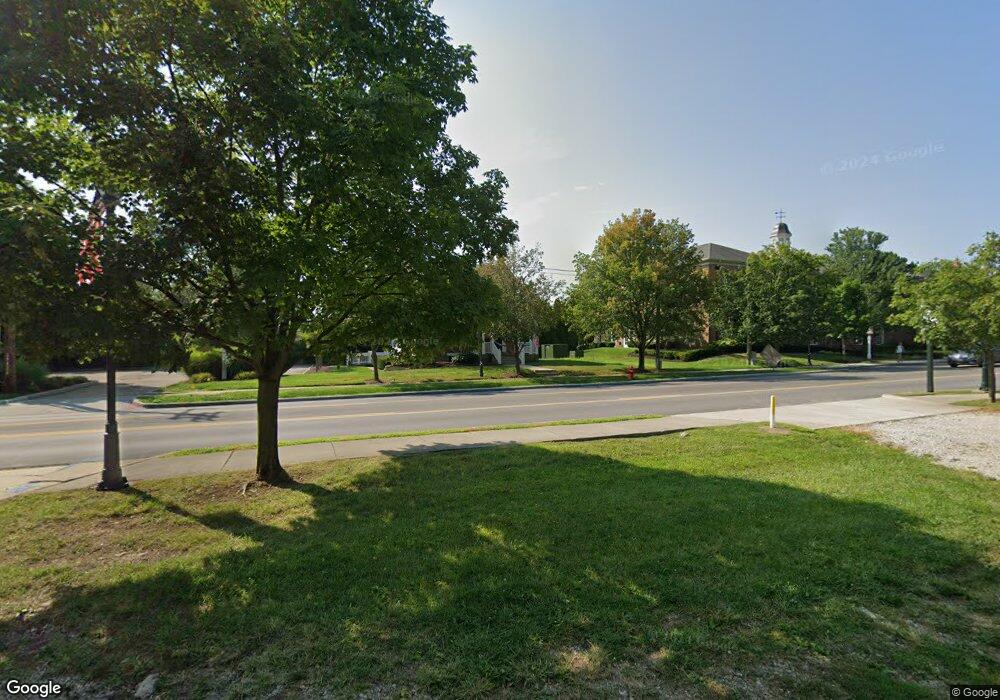
92 W Main St New Albany, OH 43054
Estimated Value: $800,000
3
Beds
1
Bath
1,413
Sq Ft
$566/Sq Ft
Est. Value
About This Home
This home is located at 92 W Main St, New Albany, OH 43054 and is currently priced at $800,000, approximately $566 per square foot. 92 W Main St is a home located in Franklin County with nearby schools including New Albany Primary School, New Albany Intermediate School, and New Albany Middle School.
Ownership History
Date
Name
Owned For
Owner Type
Purchase Details
Closed on
Aug 28, 2018
Sold by
Rockstone Holdings Llc
Bought by
The New Albany Company Llc
Current Estimated Value
Purchase Details
Closed on
Jun 18, 2015
Sold by
Ray J Properties Llc
Bought by
Rockstone Holdings Llc
Purchase Details
Closed on
Dec 8, 2011
Sold by
Lucas William F and Lucas Connie M
Bought by
Ray J Properties Llc
Purchase Details
Closed on
Oct 18, 1984
Bought by
Lucas William F
Create a Home Valuation Report for This Property
The Home Valuation Report is an in-depth analysis detailing your home's value as well as a comparison with similar homes in the area
Home Values in the Area
Average Home Value in this Area
Purchase History
| Date | Buyer | Sale Price | Title Company |
|---|---|---|---|
| The New Albany Company Llc | -- | Stewart Title Agency Of Cols | |
| Rockstone Holdings Llc | $355,000 | Stewart Title | |
| Ray J Properties Llc | $205,000 | Bxtalon Group | |
| Lucas William F | $42,900 | -- |
Source: Public Records
Tax History Compared to Growth
Tax History
| Year | Tax Paid | Tax Assessment Tax Assessment Total Assessment is a certain percentage of the fair market value that is determined by local assessors to be the total taxable value of land and additions on the property. | Land | Improvement |
|---|---|---|---|---|
| 2024 | $16,381 | $194,390 | $194,390 | -- |
| 2023 | $15,336 | $194,390 | $194,390 | $0 |
| 2022 | $12,237 | $136,400 | $136,400 | $0 |
| 2021 | $11,811 | $136,400 | $136,400 | $0 |
| 2020 | $11,689 | $136,400 | $136,400 | $0 |
| 2019 | $10,788 | $118,620 | $118,620 | $0 |
| 2018 | $8,724 | $118,620 | $118,620 | $0 |
| 2017 | $13,763 | $118,620 | $118,620 | $0 |
| 2016 | $11,719 | $124,260 | $118,620 | $5,640 |
| 2015 | $6,780 | $71,760 | $66,120 | $5,640 |
| 2014 | $6,720 | $71,760 | $66,120 | $5,640 |
| 2013 | $636 | $13,545 | $7,910 | $5,635 |
Source: Public Records
Map
Nearby Homes
- 105 Keswick Dr
- 115 Keswick Dr
- 8127 Griswold Dr
- 5950 Johnstown Rd
- 8175 Parsons Pass
- 5074 Hearthstone Park Dr
- 5945 Johnstown Rd
- 4945 Yantis Dr
- 6869 Cedar Brook Place
- 25 Pickett Place
- 6500 Cedar Glen Ct
- 5510 Steele Ct
- 7200 Fernridge Dr
- 8309 Marwithe Place
- 5650 Harlem Rd
- 5445 Welbourne Place Unit 25
- 6923 Rothwell St Unit 46923
- 7754 Brandon Rd
- 6940 Clivdon Mews
- 5129 Marks Ct
- 0 W Main St
- 0 U S Highway 62
- 153 E Dublin Granville Rd
- 153 W Granville St
- 142 W Granville St
- 82 W Granville St
- 82 W Granville St Unit 5
- 55 W Main St
- 150 W Main St
- 80 W Dub Granville Rd
- 29 S High St
- 15 S High St
- 9 S High St Unit 11
- 3 S High St
- 11 S High St
- 3 N High St Unit 200
- 3 N High St
- 15 N High St
- 14 S High St
- 20 S High St
