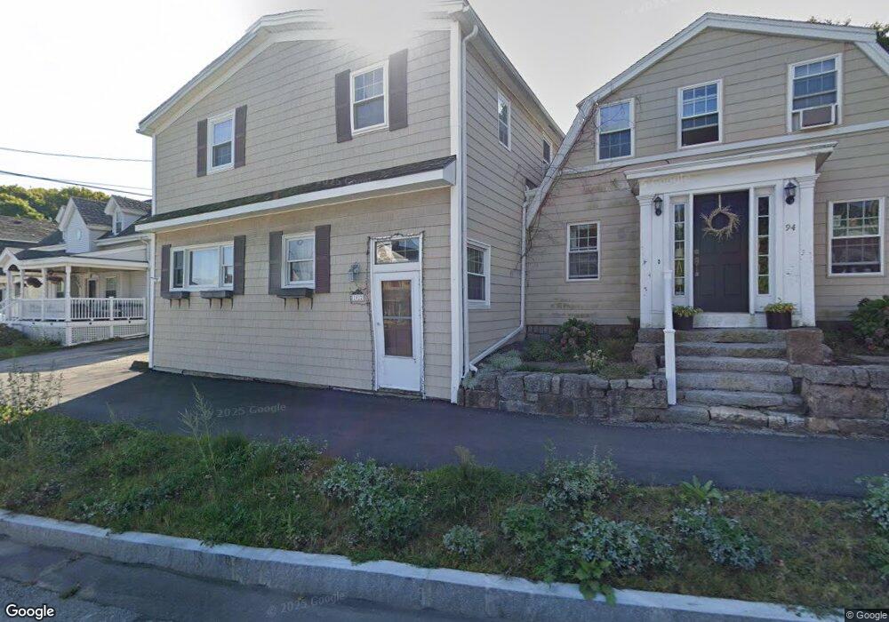
92 Western Ave Unit 1 Gloucester, MA 01930
West Gloucester NeighborhoodEstimated Value: $575,000 - $953,000
3
Beds
2
Baths
1,830
Sq Ft
$412/Sq Ft
Est. Value
About This Home
This home is located at 92 Western Ave Unit 1, Gloucester, MA 01930 and is currently estimated at $754,846, approximately $412 per square foot. 92 Western Ave Unit 1 is a home located in Essex County with nearby schools including West Parish, Ralph B O'maley Middle School, and Gloucester High School.
Ownership History
Date
Name
Owned For
Owner Type
Purchase Details
Closed on
Apr 22, 2024
Sold by
Carroll Kathleen R
Bought by
Kathleen R Carroll Lt and Carroll
Current Estimated Value
Create a Home Valuation Report for This Property
The Home Valuation Report is an in-depth analysis detailing your home's value as well as a comparison with similar homes in the area
Home Values in the Area
Average Home Value in this Area
Purchase History
| Date | Buyer | Sale Price | Title Company |
|---|---|---|---|
| Kathleen R Carroll Lt | -- | None Available | |
| Kathleen R Carroll Lt | -- | None Available |
Source: Public Records
Tax History Compared to Growth
Tax History
| Year | Tax Paid | Tax Assessment Tax Assessment Total Assessment is a certain percentage of the fair market value that is determined by local assessors to be the total taxable value of land and additions on the property. | Land | Improvement |
|---|---|---|---|---|
| 2025 | $4,698 | $483,300 | $0 | $483,300 |
| 2024 | $4,406 | $452,800 | $0 | $452,800 |
| 2023 | $4,223 | $398,800 | $0 | $398,800 |
| 2022 | $4,235 | $361,000 | $0 | $361,000 |
| 2021 | $4,022 | $323,300 | $0 | $323,300 |
| 2020 | $3,986 | $323,300 | $0 | $323,300 |
| 2019 | $3,798 | $299,300 | $0 | $299,300 |
| 2018 | $3,582 | $277,000 | $0 | $277,000 |
| 2017 | $3,382 | $256,400 | $0 | $256,400 |
| 2016 | $3,211 | $235,900 | $0 | $235,900 |
| 2015 | $3,149 | $230,700 | $0 | $230,700 |
Source: Public Records
Map
Nearby Homes
- 15 Harvard St
- 8 Summer St Unit 103
- 5 Washington Square
- 33 Middle St
- 35 Middle St Unit 4
- 359 Western Ave
- 196 Washington St
- 90 Middle St Unit L
- 191 Main St Unit 2B
- 191 Main St Unit 3
- 191 Main St Unit 2A
- 33 Maplewood Ave Unit 21
- 7 Rackliffe St Unit 1
- 5 Samoset Rd Unit A
- 227 Essex Ave
- 119 Pleasant St
- 16 Cleveland Place Unit 11
- 1 Wonson St
- 60 Rocky Neck Ave Unit 202
- 73 Rocky Neck Ave Unit 2
- 92 Western Ave Unit 3
- 92 Western Ave Unit 2
- 94 Western Ave Unit 2
- 0 Bond St
- 90 Western Ave
- 100 Western Ave
- 88 Western Ave
- 4 Windsor Ln
- 6 Windsor Ln
- 163 Western Ave
- 8 Windsor Ln
- 102 Western Ave
- 86 Western Ave
- 159 Western Ave
- 11 Anchor Ln
- 3 Anchor Ln
- 161 Western Ave
- 5 Anchor Ln
- 1 Anchor Ln
- 157 Western Ave