92 White Water Trail Kimberling City, MO 65686
Estimated Value: $402,000 - $1,253,000
--
Bed
--
Bath
2,241
Sq Ft
$423/Sq Ft
Est. Value
About This Home
This home is located at 92 White Water Trail, Kimberling City, MO 65686 and is currently estimated at $948,284, approximately $423 per square foot. 92 White Water Trail is a home with nearby schools including Reeds Spring Primary School, Reeds Spring Middle School, and Reeds Spring Intermediate School.
Ownership History
Date
Name
Owned For
Owner Type
Purchase Details
Closed on
Nov 9, 2015
Sold by
Gauger Virginia L and Gauger Gregory S
Bought by
Gauger Gregory S and Gauger Virginia L
Current Estimated Value
Home Financials for this Owner
Home Financials are based on the most recent Mortgage that was taken out on this home.
Original Mortgage
$550,000
Outstanding Balance
$223,264
Interest Rate
3.9%
Mortgage Type
New Conventional
Estimated Equity
$725,020
Purchase Details
Closed on
Aug 28, 2015
Sold by
Gauger Virginia L
Bought by
Gauger Virginia L
Create a Home Valuation Report for This Property
The Home Valuation Report is an in-depth analysis detailing your home's value as well as a comparison with similar homes in the area
Home Values in the Area
Average Home Value in this Area
Purchase History
| Date | Buyer | Sale Price | Title Company |
|---|---|---|---|
| Gauger Gregory S | -- | None Available | |
| Gauger Virginia L | -- | Hogan Land Title |
Source: Public Records
Mortgage History
| Date | Status | Borrower | Loan Amount |
|---|---|---|---|
| Open | Gauger Gregory S | $550,000 |
Source: Public Records
Tax History Compared to Growth
Tax History
| Year | Tax Paid | Tax Assessment Tax Assessment Total Assessment is a certain percentage of the fair market value that is determined by local assessors to be the total taxable value of land and additions on the property. | Land | Improvement |
|---|---|---|---|---|
| 2025 | $4,705 | $96,060 | -- | -- |
| 2024 | $4,699 | $96,060 | -- | -- |
| 2023 | $4,699 | $96,060 | $0 | $0 |
| 2022 | $4,673 | $96,060 | $0 | $0 |
| 2021 | $4,730 | $96,060 | $0 | $0 |
| 2020 | $4,166 | $96,060 | $0 | $0 |
| 2019 | $4,142 | $96,060 | $0 | $0 |
| 2018 | $4,136 | $96,060 | $0 | $0 |
| 2017 | $4,143 | $96,060 | $0 | $0 |
| 2016 | $4,029 | $96,060 | $0 | $0 |
| 2015 | $431 | $115,010 | $0 | $0 |
| 2014 | $20 | $490 | $0 | $0 |
| 2012 | -- | $490 | $0 | $0 |
Source: Public Records
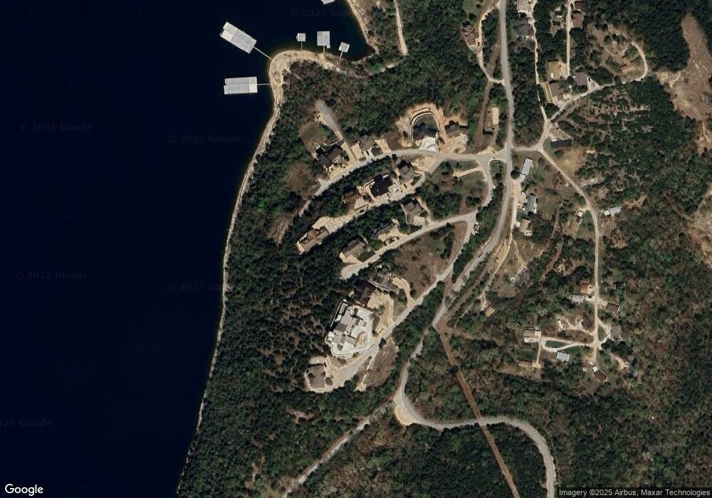
Map
Nearby Homes
- 214 / 196 Hoot Owl Point
- 574 Edgewater Estates
- 90 Brandon Loop
- 60 Montego Dr
- 32 Homewood Ln
- Lot 37-39 Cardinal Cove Ln
- 17 Montague Ln
- 201 Deer Park Cir
- 323 Terrace Park Rd
- Tbd Terrace Park Rd
- 64 Deer Park Cir
- 65 Royale Estates Rd Unit Lot 29
- 51 Cherokee Dr
- 78 Elm Point Ln
- 5932 Joe Bald Rd
- 139 Cherokee Dr
- Lots 19/3 Overlook
- 44 Bittersweet Cir
- 45 James View Rd
- 220 Bittersweet Cir
- Tbd Lot 23 Seagull Point
- 240 Main Channel Dr
- 116 Pelican Point
- Lot 20 Main Channel Dr
- 116 Pelican Rd
- 3.5 Acres Peninsula Estates
- Tbd Lot 24 Seagull Point
- Lot 22 Main Channel Dr
- 3.5 Acres Peninsula Estates Ln
- Lot 7 Bluffs Run
- 0 Main Channel Dr Unit 2412903
- 0 Main Channel Dr Unit 11113137
- 0 Main Channel Dr Unit 11403913
- Tbd Main Channel Dr
- #4 Main Channel Dr
- Lot 4 Main Channel Dr
- Lot 2 Main Channel Dr
- Lot 3 Main Channel Dr
- 0 Main Channel Dr
- Lot 23 Main Channel Dr