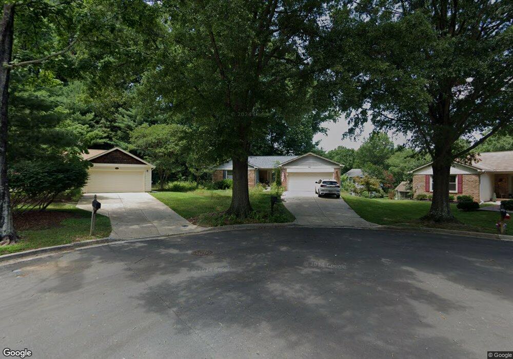
920 Barnegat Ln Annapolis, MD 21401
Parole NeighborhoodEstimated Value: $584,000 - $693,000
3
Beds
3
Baths
2,594
Sq Ft
$243/Sq Ft
Est. Value
About This Home
This home is located at 920 Barnegat Ln, Annapolis, MD 21401 and is currently estimated at $631,581, approximately $243 per square foot. 920 Barnegat Ln is a home located in Anne Arundel County with nearby schools including Rolling Knolls Elementary School, Wiley H. Bates Middle School, and Annapolis High School.
Ownership History
Date
Name
Owned For
Owner Type
Purchase Details
Closed on
Sep 17, 2009
Sold by
Bezwersky William J
Bought by
Mitchell William M and Mitchell Maria T
Current Estimated Value
Home Financials for this Owner
Home Financials are based on the most recent Mortgage that was taken out on this home.
Original Mortgage
$200,000
Outstanding Balance
$130,932
Interest Rate
5.21%
Mortgage Type
New Conventional
Estimated Equity
$500,649
Purchase Details
Closed on
Mar 11, 2003
Sold by
Bezwersky William J
Bought by
Bezwersky William J and Bezwersky Margarite E
Purchase Details
Closed on
Oct 6, 1986
Sold by
U S Homes Corp
Bought by
Bezwersky William J
Home Financials for this Owner
Home Financials are based on the most recent Mortgage that was taken out on this home.
Original Mortgage
$50,000
Interest Rate
10.08%
Create a Home Valuation Report for This Property
The Home Valuation Report is an in-depth analysis detailing your home's value as well as a comparison with similar homes in the area
Home Values in the Area
Average Home Value in this Area
Purchase History
| Date | Buyer | Sale Price | Title Company |
|---|---|---|---|
| Mitchell William M | $350,000 | -- | |
| Bezwersky William J | -- | -- | |
| Bezwersky William J | $135,200 | -- |
Source: Public Records
Mortgage History
| Date | Status | Borrower | Loan Amount |
|---|---|---|---|
| Open | Mitchell William M | $200,000 | |
| Previous Owner | Bezwersky William J | $50,000 |
Source: Public Records
Tax History Compared to Growth
Tax History
| Year | Tax Paid | Tax Assessment Tax Assessment Total Assessment is a certain percentage of the fair market value that is determined by local assessors to be the total taxable value of land and additions on the property. | Land | Improvement |
|---|---|---|---|---|
| 2025 | $4,500 | $440,700 | -- | -- |
| 2024 | $4,500 | $412,300 | $0 | $0 |
| 2023 | $4,360 | $383,900 | $217,900 | $166,000 |
| 2022 | $4,012 | $383,900 | $217,900 | $166,000 |
| 2021 | $8,046 | $383,900 | $217,900 | $166,000 |
| 2020 | $3,931 | $392,500 | $227,900 | $164,600 |
| 2019 | $3,850 | $371,500 | $0 | $0 |
| 2018 | $3,554 | $350,500 | $0 | $0 |
| 2017 | $3,592 | $329,500 | $0 | $0 |
| 2016 | -- | $318,033 | $0 | $0 |
| 2015 | -- | $306,567 | $0 | $0 |
| 2014 | -- | $295,100 | $0 | $0 |
Source: Public Records
Map
Nearby Homes
- 2507 Tudo Ct
- 1007 Boom Ct
- 1945 Marconi Cir
- 1909 Marconi Cir
- 916 Sextant Way
- 1012 Mastline Dr
- 1003 Mastline Dr
- 2664 Compass Dr
- 2600 Compass Dr
- 2671 Cunningham Hole Rd
- 2601 Compass Dr
- 932 Riversedge Cir
- 2737 Yeomans Lantern Ct
- 940 Astern Way Unit 604
- 940 Astern Way Unit 309
- 930 Astern Way Unit 609
- 930 Astern Way Unit 502
- 930 Astern Way Unit 405
- 930 Astern Way Unit 511
- 772 Ballast Way
- 921 Barnegat Ln
- 918 Barnegat Ln
- 919 Mastline Dr
- 921 Mastline Dr
- 917 Mastline Dr
- 919 Barnegat Ln
- 950 Marconi Ave
- 915 Mastline Dr
- 923 Mastline Dr
- 917 Barnegat Ln
- 946 Marconi Ave
- 913 Mastline Dr
- 925 Mastline Dr
- 944 Marconi Ave
- 927 Mastline Dr
- 800 Bermuda Ct
- 918 Mastline Dr
- 920 Mastline Dr
- 802 Bermuda Ct
- 918 Mast Line Dr