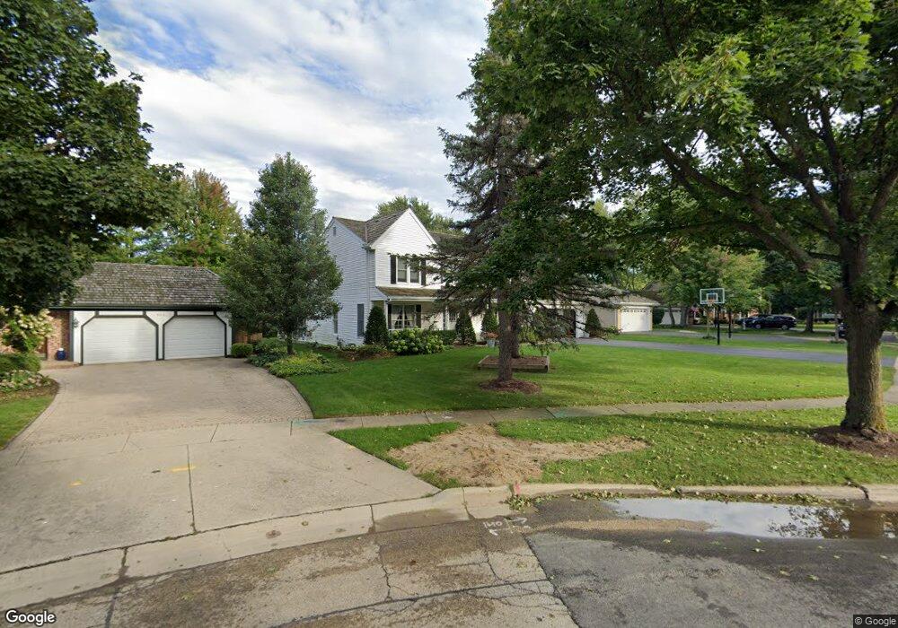
920 Burridge St Libertyville, IL 60048
South Libertyville NeighborhoodEstimated Value: $855,589 - $992,000
--
Bed
4
Baths
3,140
Sq Ft
$294/Sq Ft
Est. Value
About This Home
This home is located at 920 Burridge St, Libertyville, IL 60048 and is currently estimated at $921,897, approximately $293 per square foot. 920 Burridge St is a home located in Lake County with nearby schools including Rockland Elementary School, Highland Middle School, and Libertyville High School.
Ownership History
Date
Name
Owned For
Owner Type
Purchase Details
Closed on
Apr 21, 2021
Sold by
Jones David R and Jones Betty Jane
Bought by
Goff Steven Daniel and Goff Stephanie Renee
Current Estimated Value
Home Financials for this Owner
Home Financials are based on the most recent Mortgage that was taken out on this home.
Original Mortgage
$515,700
Outstanding Balance
$464,636
Interest Rate
2.87%
Mortgage Type
New Conventional
Estimated Equity
$457,261
Purchase Details
Closed on
Oct 14, 1993
Sold by
Bass Willard C and Bass Margaret R
Bought by
Jones David B and Jones Betty Jane
Home Financials for this Owner
Home Financials are based on the most recent Mortgage that was taken out on this home.
Original Mortgage
$275,000
Interest Rate
7%
Create a Home Valuation Report for This Property
The Home Valuation Report is an in-depth analysis detailing your home's value as well as a comparison with similar homes in the area
Home Values in the Area
Average Home Value in this Area
Purchase History
| Date | Buyer | Sale Price | Title Company |
|---|---|---|---|
| Goff Steven Daniel | $645,000 | Chicago Title | |
| Jones David B | $239,666 | Imperial Land Title Inc |
Source: Public Records
Mortgage History
| Date | Status | Borrower | Loan Amount |
|---|---|---|---|
| Open | Goff Steven Daniel | $515,700 | |
| Previous Owner | Jones David B | $275,000 |
Source: Public Records
Tax History Compared to Growth
Tax History
| Year | Tax Paid | Tax Assessment Tax Assessment Total Assessment is a certain percentage of the fair market value that is determined by local assessors to be the total taxable value of land and additions on the property. | Land | Improvement |
|---|---|---|---|---|
| 2024 | $17,303 | $241,621 | $73,380 | $168,241 |
| 2023 | $16,920 | $222,856 | $67,681 | $155,175 |
| 2022 | $16,920 | $217,564 | $65,052 | $152,512 |
| 2021 | $15,900 | $212,881 | $63,652 | $149,229 |
| 2020 | $15,302 | $209,302 | $62,582 | $146,720 |
| 2019 | $14,918 | $207,312 | $61,987 | $145,325 |
| 2018 | $14,828 | $207,845 | $67,298 | $140,547 |
| 2017 | $14,624 | $201,283 | $65,173 | $136,110 |
| 2016 | $14,146 | $190,844 | $61,793 | $129,051 |
| 2015 | $14,027 | $178,376 | $57,756 | $120,620 |
| 2014 | $13,843 | $172,645 | $54,268 | $118,377 |
| 2012 | $13,359 | $174,143 | $54,739 | $119,404 |
Source: Public Records
Map
Nearby Homes
- 533 Drake St
- 551 W Park Ave Unit E
- 423 Ames St
- 1137 Pine Tree Ln
- 0 Ames St
- 1330 W Park Ave
- 223 Kenloch Ave
- 308 Mckinley Ave
- 20924 & 20902 W Park Ave
- 1754 Glenmore Rd
- 420 W Cook Ave
- 505 Lange Ct
- 212 Elm Ct
- 777 Garfield Ave Unit A
- 747 Garfield Ave Unit C
- 851 Garfield Ave Unit C
- 426 S Milwaukee Ave
- 1017 Juniper Pkwy
- 323 W Golf Rd
- 217 E Church St
- 910 Burridge St
- 930 Burridge Ct
- 930 Burridge St
- 319 Drake St
- 940 Burridge Ct
- 305 Drake St
- 325 Drake St
- 900 Burridge St
- 955 Burridge St
- 940 Burridge St
- 955 Burridge Ct
- 301 Drake St
- 331 Drake St
- 950 Burridge St
- 960 Burridge St
- 905 Burridge St
- 401 Drake St
- 925 Burridge St
- 975 Burridge St
- 970 Burridge St