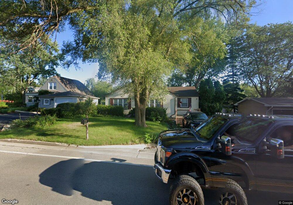
920 E Bonner Rd Wauconda, IL 60084
Estimated Value: $239,350 - $324,000
Studio
2
Baths
1,332
Sq Ft
$210/Sq Ft
Est. Value
About This Home
This home is located at 920 E Bonner Rd, Wauconda, IL 60084 and is currently estimated at $279,588, approximately $209 per square foot. 920 E Bonner Rd is a home located in Lake County with nearby schools including Wauconda Grade School, Wauconda Middle School, and Wauconda High School.
Ownership History
Date
Name
Owned For
Owner Type
Purchase Details
Closed on
Sep 14, 2017
Sold by
Franck David A and David A Franck Revocable Trust
Bought by
Franck David A and Franck Donna J
Current Estimated Value
Purchase Details
Closed on
Oct 14, 2009
Sold by
Franck David A and Franck Donna J
Bought by
David A Franck Revocable Trust and Donna J Franck Revocable Trust
Purchase Details
Closed on
Nov 21, 2003
Sold by
Hud
Bought by
Franck David and Franck Donna J
Purchase Details
Closed on
Jun 18, 2003
Sold by
Willis
Bought by
Hud
Purchase Details
Closed on
May 6, 1996
Sold by
Ringel Brian H and Ringel Sheryl A
Bought by
Willis Tim W
Home Financials for this Owner
Home Financials are based on the most recent Mortgage that was taken out on this home.
Original Mortgage
$114,468
Interest Rate
7.86%
Mortgage Type
FHA
Create a Home Valuation Report for This Property
The Home Valuation Report is an in-depth analysis detailing your home's value as well as a comparison with similar homes in the area
Home Values in the Area
Average Home Value in this Area
Purchase History
| Date | Buyer | Sale Price | Title Company |
|---|---|---|---|
| Franck David A | -- | Attorney | |
| David A Franck Revocable Trust | -- | Ticor Title Insurance Co | |
| Franck David | -- | Stewart Title Company | |
| Hud | -- | -- | |
| Willis Tim W | $115,500 | -- |
Source: Public Records
Mortgage History
| Date | Status | Borrower | Loan Amount |
|---|---|---|---|
| Previous Owner | Willis Tim W | $114,468 |
Source: Public Records
Tax History
| Year | Tax Paid | Tax Assessment Tax Assessment Total Assessment is a certain percentage of the fair market value that is determined by local assessors to be the total taxable value of land and additions on the property. | Land | Improvement |
|---|---|---|---|---|
| 2024 | $5,710 | $63,575 | $14,638 | $48,937 |
| 2023 | $5,855 | $58,112 | $13,380 | $44,732 |
| 2022 | $5,855 | $53,655 | $17,063 | $36,592 |
| 2021 | $5,612 | $50,699 | $16,123 | $34,576 |
| 2020 | $5,452 | $48,322 | $15,367 | $32,955 |
| 2019 | $4,860 | $45,668 | $14,523 | $31,145 |
| 2018 | $5,031 | $43,722 | $17,221 | $26,501 |
| 2017 | $5,028 | $43,217 | $17,022 | $26,195 |
| 2016 | $4,743 | $40,925 | $16,119 | $24,806 |
| 2015 | $4,493 | $37,570 | $14,798 | $22,772 |
| 2014 | $5,194 | $41,286 | $16,618 | $24,668 |
| 2012 | $5,026 | $44,482 | $15,899 | $28,583 |
Source: Public Records
Map
Nearby Homes
- 1114 Jackson Ave
- 818 Sheridan Dr
- 1260 Water Stone Cir
- 1017 Grand Blvd
- 0 Bonner Rd
- 905 Grand Blvd
- 28722 N Madison Ave
- 518 Nancy Ct
- 701 Lake Shore Dr
- 28855 N Garland Rd
- 505 Woodland Ave
- 29564 N Garland Rd
- 25817 W Cook St
- 428 Country Lane Ct Unit 301
- 417 Lake Shore Blvd
- 28331 W Main St
- 902 Highland Ave
- 365 Lake Ave Unit C
- 304 Hill St Unit 1004
- 159 Parkview Dr Unit 159
- 922 E Bonner Rd
- 916 E Bonner Rd
- 1115 Lincoln Ave
- 911 Pershing Dr
- 912 E Bonner Rd
- 909 Pershing Dr
- 1130 Lincoln Ave
- 25176 W Bonner Rd
- 908 E Bonner Rd
- 25162 W Bonner Rd
- 908 Bonner Rd
- 913 Pershing Dr
- 25156 W Bonner Rd
- 1003 Grant Place
- 907 Pershing Dr
- 904 E Bonner Rd
- 25202 W Bonner Rd
- 1000 E Bonner Rd
- 1040 E Bonner Rd
- 1002 Grant Place
Your Personal Tour Guide
Ask me questions while you tour the home.