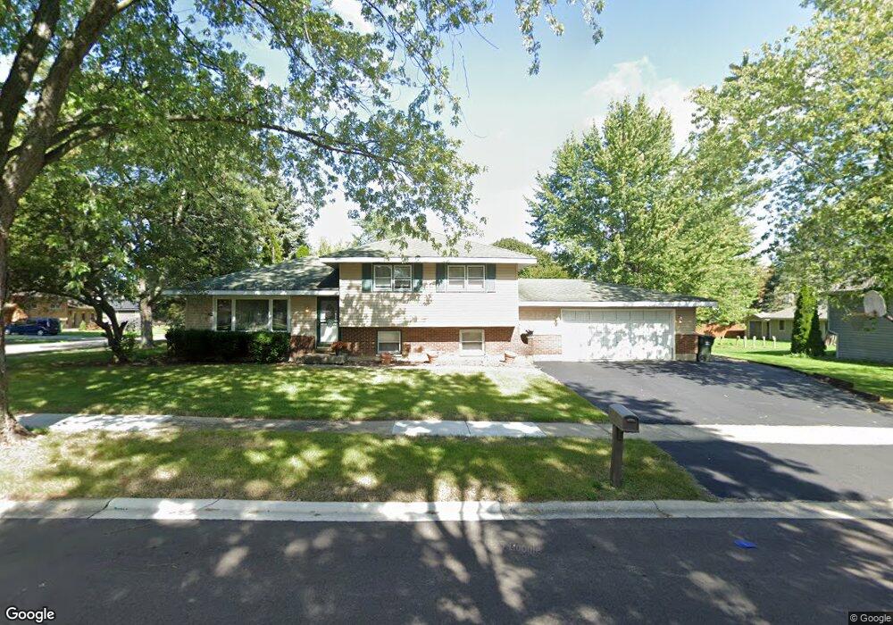
920 Gerald Ave Unit 6 South Elgin, IL 60177
Estimated Value: $339,027 - $361,000
3
Beds
2
Baths
1,624
Sq Ft
$214/Sq Ft
Est. Value
About This Home
This home is located at 920 Gerald Ave Unit 6, South Elgin, IL 60177 and is currently estimated at $348,257, approximately $214 per square foot. 920 Gerald Ave Unit 6 is a home located in Kane County with nearby schools including Willard Elementary School, Kenyon Woods Middle School, and South Elgin High School.
Ownership History
Date
Name
Owned For
Owner Type
Purchase Details
Closed on
Dec 22, 2013
Sold by
Gordon Patrick J
Bought by
Gordon Debra L
Current Estimated Value
Purchase Details
Closed on
Jun 24, 1996
Sold by
Dodson Allen D and Dodson Pamela C
Bought by
Gordon Patrick J and Grimes Debra L
Home Financials for this Owner
Home Financials are based on the most recent Mortgage that was taken out on this home.
Original Mortgage
$127,250
Outstanding Balance
$8,360
Interest Rate
8.31%
Mortgage Type
FHA
Estimated Equity
$339,897
Create a Home Valuation Report for This Property
The Home Valuation Report is an in-depth analysis detailing your home's value as well as a comparison with similar homes in the area
Home Values in the Area
Average Home Value in this Area
Purchase History
| Date | Buyer | Sale Price | Title Company |
|---|---|---|---|
| Gordon Debra L | -- | None Available | |
| Gordon Patrick J | $131,000 | -- |
Source: Public Records
Mortgage History
| Date | Status | Borrower | Loan Amount |
|---|---|---|---|
| Open | Gordon Patrick J | $127,250 |
Source: Public Records
Tax History Compared to Growth
Tax History
| Year | Tax Paid | Tax Assessment Tax Assessment Total Assessment is a certain percentage of the fair market value that is determined by local assessors to be the total taxable value of land and additions on the property. | Land | Improvement |
|---|---|---|---|---|
| 2024 | $6,736 | $93,360 | $21,126 | $72,234 |
| 2023 | $6,405 | $84,344 | $19,086 | $65,258 |
| 2022 | $6,102 | $76,907 | $17,403 | $59,504 |
| 2021 | $5,739 | $71,903 | $16,271 | $55,632 |
| 2020 | $5,562 | $68,642 | $15,533 | $53,109 |
| 2019 | $5,351 | $65,386 | $14,796 | $50,590 |
| 2018 | $5,240 | $61,598 | $13,939 | $47,659 |
| 2017 | $4,973 | $58,232 | $13,177 | $45,055 |
| 2016 | $4,727 | $54,024 | $12,225 | $41,799 |
| 2015 | -- | $49,518 | $11,205 | $38,313 |
| 2014 | -- | $46,869 | $11,067 | $35,802 |
| 2013 | -- | $48,105 | $11,359 | $36,746 |
Source: Public Records
Map
Nearby Homes
- 387 S Pointe Ave
- 590 Fenwick Ln
- 773 Michigan Ave
- 671 Fieldcrest Dr
- 435 Sandhurst Ln Unit 3
- 1370 Marleigh Ln
- 962 Ascot Dr
- 8N594 S Mclean Blvd
- 275 Quarry St
- 1458 Woodland Dr
- 1419 S Pembroke Dr
- 120 Melrose Ct
- 126 Kingsport Dr
- 194 S Collins St
- 295 S Walnut St
- 308 Cornwall Ave
- 291 Kingsport Dr
- 289 Kingsport Dr
- 287 Kingsport Dr
- 285 Kingsport Dr
- 585 Michigan Ave
- 910 Gerald Ave
- 900 Gerald Ave
- 919 Greenfield Ave
- 909 Greenfield Ave
- 909 Gerald Ave
- 572 Michigan Ave Unit 6
- 588 Michigan Ave
- 899 Greenfield Ave
- 555 Michigan Ave
- 564 Michigan Ave
- 901 Gerald Ave
- 890 Gerald Ave
- 955 Greenfield Ave
- 889 Greenfield Ave
- 556 Michigan Ave
- 889 Gerald Ave
- 910 Division St Unit 5
- 880 Gerald Ave