920 Holmstrom Rd Lovelock, NV 89419
Estimated Value: $445,531 - $1,092,000
3
Beds
2
Baths
5,226
Sq Ft
$119/Sq Ft
Est. Value
About This Home
This home is located at 920 Holmstrom Rd, Lovelock, NV 89419 and is currently estimated at $619,633, approximately $118 per square foot. 920 Holmstrom Rd is a home located in Pershing County with nearby schools including Pershing County Middle School and Pershing County High School.
Ownership History
Date
Name
Owned For
Owner Type
Purchase Details
Closed on
Apr 16, 2025
Sold by
Cerini Steven R and Cerini Denice K
Bought by
D-S Ranch Revocable Intervivos Trust and Cerini
Current Estimated Value
Purchase Details
Closed on
Jan 8, 2009
Sold by
Dewing Trust
Bought by
Cerini Steven R and Cerini Denice K
Create a Home Valuation Report for This Property
The Home Valuation Report is an in-depth analysis detailing your home's value as well as a comparison with similar homes in the area
Home Values in the Area
Average Home Value in this Area
Purchase History
| Date | Buyer | Sale Price | Title Company |
|---|---|---|---|
| D-S Ranch Revocable Intervivos Trust | $299,089 | None Listed On Document | |
| Cerini Steven R | $540,000 | Western Title Inc |
Source: Public Records
Mortgage History
| Date | Status | Borrower | Loan Amount |
|---|---|---|---|
| Closed | Cerini Steven R | $270,000 |
Source: Public Records
Tax History Compared to Growth
Tax History
| Year | Tax Paid | Tax Assessment Tax Assessment Total Assessment is a certain percentage of the fair market value that is determined by local assessors to be the total taxable value of land and additions on the property. | Land | Improvement |
|---|---|---|---|---|
| 2025 | $3,198 | $104,681 | $9,100 | $95,581 |
| 2024 | $3,198 | $105,986 | $9,100 | $96,886 |
| 2023 | $3,198 | $97,183 | $9,100 | $88,083 |
| 2022 | $2,767 | $83,528 | $8,380 | $75,148 |
| 2021 | $2,627 | $80,171 | $8,380 | $71,791 |
| 2020 | $2,632 | $80,319 | $8,380 | $71,939 |
| 2019 | $2,592 | $79,028 | $8,380 | $70,648 |
| 2018 | $2,980 | $91,547 | $8,380 | $83,167 |
| 2017 | $3,107 | $91,158 | $8,380 | $82,778 |
| 2016 | $3,095 | $91,168 | $8,380 | $82,788 |
| 2015 | $2,995 | $89,740 | $8,380 | $81,360 |
| 2014 | $2,995 | $90,149 | $8,380 | $81,769 |
Source: Public Records
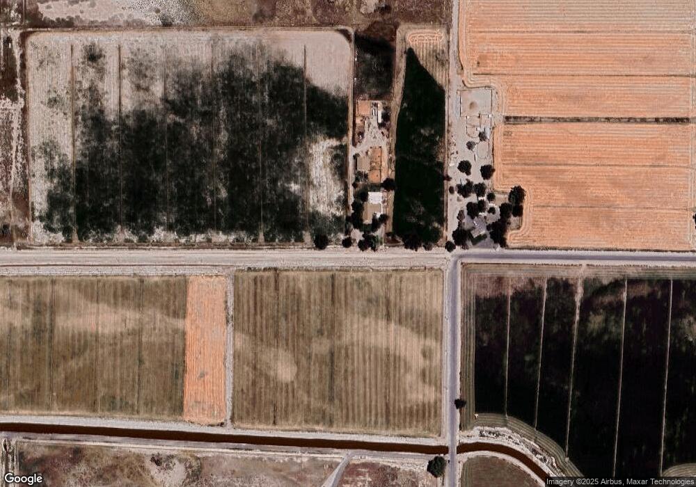
Map
Nearby Homes
- 3255 Upper Valley Rd
- 1100 Horseshoe Bend Rd
- 68 River Banks Ct
- 58 River Banks Ct
- 200 Raymond Rd
- 135 Cessna Ln
- 2515 Upper Valley Rd
- 5105 N Meridian Rd
- 1645 Central Ave
- 1605 Central Ave
- 750 16th St
- 815 16th St
- 750 Airport Rd
- 0 Airport Rd
- 1465 Central Ave
- APN 14th St
- 595 Taylor Place
- 1070 Cornell Ave
- T28 R31 Sec 27
- T33 R37 Sec 3
- 1050 Holmstrom Rd
- 1350 Holmstrom Rd
- 1775 Loorz Rd
- 4100 N Meridian Rd
- 485 Holmstrom Rd
- 1715 Loorz Rd
- 375 Holmstrom Rd
- 1575 Loorz Rd
- 1670 Holmstrom Rd
- 1500 Loorz Rd
- 355 Holmstrom Rd
- 1000 Fairview Rd
- T25 R30 SEC 13/ Holmstrom Rd
- 2010 N Meridian Rd
- 1990 Holmstrom Rd
- 4100 S Meridian Rd
- 4050 N Meridian Rd