Estimated Value: $139,000 - $163,000
--
Bed
--
Bath
1,740
Sq Ft
$89/Sq Ft
Est. Value
About This Home
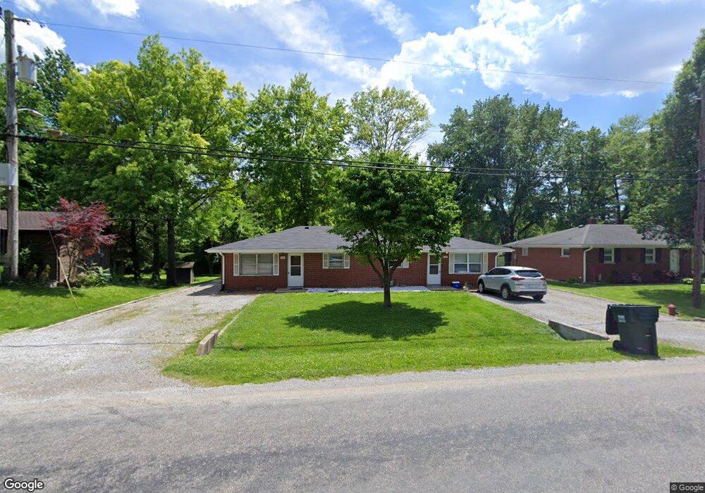
This home is located at 920 Imbs Station Rd, Dupo, IL 62239 and is currently estimated at $154,150, approximately $88 per square foot. 920 Imbs Station Rd is a home located in St. Clair County with nearby schools including Bluffview Elementary School and Dupo High School.
Ownership History
Date
Name
Owned For
Owner Type
Purchase Details
Closed on
Oct 4, 2021
Sold by
Gleich Karen M and Gleich Robert M
Bought by
Trinity Property Partners Llc
Current Estimated Value
Home Financials for this Owner
Home Financials are based on the most recent Mortgage that was taken out on this home.
Original Mortgage
$90,000
Outstanding Balance
$21,250
Interest Rate
4.5%
Mortgage Type
Commercial
Estimated Equity
$132,900
Purchase Details
Closed on
Oct 1, 2021
Sold by
Trinity Property Partners Llc
Bought by
Bje Properties Llc
Home Financials for this Owner
Home Financials are based on the most recent Mortgage that was taken out on this home.
Original Mortgage
$90,000
Outstanding Balance
$21,250
Interest Rate
4.5%
Mortgage Type
Commercial
Estimated Equity
$132,900
Create a Home Valuation Report for This Property
The Home Valuation Report is an in-depth analysis detailing your home's value as well as a comparison with similar homes in the area
Home Values in the Area
Average Home Value in this Area
Purchase History
| Date | Buyer | Sale Price | Title Company |
|---|---|---|---|
| Trinity Property Partners Llc | $87,500 | Accent Title Inc | |
| Bje Properties Llc | $112,000 | Accent Title Inc |
Source: Public Records
Mortgage History
| Date | Status | Borrower | Loan Amount |
|---|---|---|---|
| Open | Bje Properties Llc | $90,000 |
Source: Public Records
Tax History Compared to Growth
Tax History
| Year | Tax Paid | Tax Assessment Tax Assessment Total Assessment is a certain percentage of the fair market value that is determined by local assessors to be the total taxable value of land and additions on the property. | Land | Improvement |
|---|---|---|---|---|
| 2024 | $3,771 | $48,724 | $6,367 | $42,357 |
| 2023 | $3,872 | $45,274 | $5,916 | $39,358 |
| 2022 | $3,431 | $42,467 | $5,549 | $36,918 |
| 2021 | $2,826 | $39,965 | $5,222 | $34,743 |
| 2020 | $2,679 | $35,869 | $4,780 | $31,089 |
| 2019 | $2,494 | $35,869 | $4,780 | $31,089 |
| 2018 | $2,366 | $34,223 | $4,561 | $29,662 |
| 2017 | $2,250 | $31,803 | $4,239 | $27,564 |
| 2016 | $2,259 | $30,727 | $4,098 | $26,629 |
| 2014 | $2,053 | $30,727 | $4,098 | $26,629 |
| 2013 | $3,583 | $31,441 | $4,193 | $27,248 |
Source: Public Records
Map
Nearby Homes
- 2011 Shady Station Trail
- 2219 Stone Gate Dr
- 2148 Stone Gate Dr
- 1252 Columbia Rd
- 646 Marian Dr
- 5 Ogle Estates
- 7 Ogle Estates
- 4 Ogle Estates
- 602 Illinois Ave
- 526 State St
- 420 Micahs Way
- 501 State St
- 419 State St
- 403 State St
- 329 S Main St
- 526 Columbia Rd
- 2846 Robert Dr
- 1539 Frost Landing
- 105 N 6th St
- 112 N 4th St
- 916 Imbs Station Rd
- 924 Imbs Station Rd
- 2142 Sugarloaf Dr
- 912 Imbs Station Rd
- 908 Imbs Station Rd
- 908 Imbs Station Rd
- 908 Imbs Station Rd
- 904 Imbs Station Rd
- 925 Imbs Station Rd
- 2134 Sugarloaf Dr
- 902 Imbs Station Rd
- 905 Imbs Station Rd
- 2139 Sugarloaf Dr
- 906 Lunceford Rd
- 2135 Sugarloaf Dr
- 2012 Sugarloaf Dr
- 810 Imbs Station Rd
- 2111 Sugarloaf Dr
- 2115 Sugarloaf Dr
- 902 Lunceford Rd