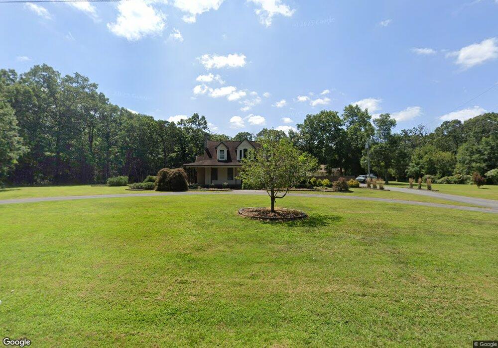
920 Lummistown Rd Cedarville, NJ 08311
Lawrence Township NeighborhoodEstimated Value: $343,000 - $560,000
--
Bed
--
Bath
2,101
Sq Ft
$206/Sq Ft
Est. Value
About This Home
This home is located at 920 Lummistown Rd, Cedarville, NJ 08311 and is currently estimated at $432,860, approximately $206 per square foot. 920 Lummistown Rd is a home located in Cumberland County.
Ownership History
Date
Name
Owned For
Owner Type
Purchase Details
Closed on
Dec 15, 2014
Sold by
Austino Robert A and Dittus Thomas E
Bought by
U S Bank National Association
Current Estimated Value
Purchase Details
Closed on
Jun 18, 2004
Sold by
Maurone Lynda
Bought by
Dittus Thomas E
Home Financials for this Owner
Home Financials are based on the most recent Mortgage that was taken out on this home.
Original Mortgage
$224,000
Interest Rate
6.12%
Purchase Details
Closed on
Jan 19, 2004
Sold by
Maurone Dominick A
Bought by
Maurone Lynda
Purchase Details
Closed on
May 1, 1996
Sold by
Cicero Terry E
Bought by
Maurone Dominick A and Maurone Lynda L
Home Financials for this Owner
Home Financials are based on the most recent Mortgage that was taken out on this home.
Original Mortgage
$63,050
Interest Rate
7.82%
Create a Home Valuation Report for This Property
The Home Valuation Report is an in-depth analysis detailing your home's value as well as a comparison with similar homes in the area
Home Values in the Area
Average Home Value in this Area
Purchase History
| Date | Buyer | Sale Price | Title Company |
|---|---|---|---|
| U S Bank National Association | -- | Attorney | |
| Dittus Thomas E | $280,000 | -- | |
| Maurone Lynda | -- | -- | |
| Maurone Dominick A | $65,000 | -- |
Source: Public Records
Mortgage History
| Date | Status | Borrower | Loan Amount |
|---|---|---|---|
| Previous Owner | Dittus Thomas E | $224,000 | |
| Previous Owner | Maurone Dominick A | $63,050 | |
| Closed | U S Bank National Association | $0 |
Source: Public Records
Tax History Compared to Growth
Tax History
| Year | Tax Paid | Tax Assessment Tax Assessment Total Assessment is a certain percentage of the fair market value that is determined by local assessors to be the total taxable value of land and additions on the property. | Land | Improvement |
|---|---|---|---|---|
| 2025 | $8,119 | $279,300 | $56,000 | $223,300 |
| 2024 | $8,119 | $279,300 | $56,000 | $223,300 |
| 2023 | $8,100 | $279,300 | $56,000 | $223,300 |
| 2022 | $8,209 | $279,300 | $56,000 | $223,300 |
| 2021 | $8,164 | $279,300 | $56,000 | $223,300 |
| 2020 | $8,058 | $279,300 | $56,000 | $223,300 |
| 2019 | $7,862 | $279,300 | $56,000 | $223,300 |
| 2018 | $7,530 | $279,300 | $56,000 | $223,300 |
| 2017 | $7,158 | $279,300 | $56,000 | $223,300 |
| 2016 | $6,837 | $279,300 | $56,000 | $223,300 |
| 2015 | $9,063 | $382,400 | $56,000 | $326,400 |
| 2014 | $8,688 | $382,400 | $56,000 | $326,400 |
Source: Public Records
Map
Nearby Homes
- 3296 Cedarville Rd
- 0 W Pern Ave Unit NJCB2025914
- 0 Thelma Ave Unit NJCB2022578
- 715 Ramah Rd
- 0 Roosevelt St
- 0 Carpenter Ave
- 3030 Garfield Ave
- 643 Ramah Rd
- 0 Lexington Ave
- 5679 Stone Ave
- 3157 Lexington Ave
- 297 Factory Rd
- 3008 Martin Ave
- 3014 Martin Ave
- 2776 Cedar St
- 13169 W Buckshutem Rd
- 186 Schaffer Ave
- 485 Lummistown Rd
- 13132 W Buckshutem Rd
- L19 Schafer Ave
- 914 Lummistown Rd
- 921 Lummistown Rd
- 915 Lummistown Rd
- 937 Lummistown Rd
- 902 Lummistown Rd
- 944 Lummistown Rd
- 905 Lummistown Rd
- 954 Lummistown Rd
- 3378 Cedarville Rd
- 3370 Cedarville Rd
- 897 Lummistown Rd
- 953 Lummistown Rd
- 0 Burch Ave Unit NJCB128312
- 0 Burch Ave Unit NJCB121144
- 931 Lummistown Rd
- 3366 Cedarville Rd
- 3379 Cedarville Rd
- 3371 Cedarville Rd
- 945 Lummistown Rd
- 3360 Cedarville Rd