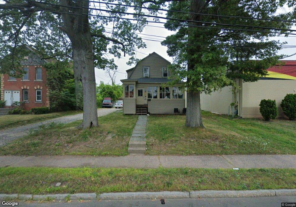
920 New Britain Ave West Hartford, CT 06110
Estimated Value: $294,701 - $364,000
3
Beds
1
Bath
1,179
Sq Ft
$273/Sq Ft
Est. Value
About This Home
This home is located at 920 New Britain Ave, West Hartford, CT 06110 and is currently estimated at $321,675, approximately $272 per square foot. 920 New Britain Ave is a home located in Hartford County with nearby schools including Charter Oak International Academy, Sedgwick Middle School, and Conard High School.
Ownership History
Date
Name
Owned For
Owner Type
Purchase Details
Closed on
May 26, 2006
Sold by
Liniak Edward P
Bought by
Rodriguez Hector and Rodriguez Adabel
Current Estimated Value
Home Financials for this Owner
Home Financials are based on the most recent Mortgage that was taken out on this home.
Original Mortgage
$158,800
Outstanding Balance
$99,872
Interest Rate
7.85%
Estimated Equity
$221,803
Create a Home Valuation Report for This Property
The Home Valuation Report is an in-depth analysis detailing your home's value as well as a comparison with similar homes in the area
Home Values in the Area
Average Home Value in this Area
Purchase History
| Date | Buyer | Sale Price | Title Company |
|---|---|---|---|
| Rodriguez Hector | $198,500 | -- |
Source: Public Records
Mortgage History
| Date | Status | Borrower | Loan Amount |
|---|---|---|---|
| Open | Rodriguez Hector | $158,800 | |
| Closed | Rodriguez Hector | $29,900 |
Source: Public Records
Tax History Compared to Growth
Tax History
| Year | Tax Paid | Tax Assessment Tax Assessment Total Assessment is a certain percentage of the fair market value that is determined by local assessors to be the total taxable value of land and additions on the property. | Land | Improvement |
|---|---|---|---|---|
| 2025 | $5,743 | $128,250 | $29,900 | $98,350 |
| 2024 | $5,431 | $128,250 | $29,900 | $98,350 |
| 2023 | $5,005 | $122,300 | $29,900 | $92,400 |
| 2022 | $4,975 | $122,300 | $29,900 | $92,400 |
| 2021 | $3,721 | $87,710 | $16,900 | $70,810 |
| 2020 | $3,666 | $87,710 | $18,800 | $68,910 |
| 2019 | $3,739 | $89,460 | $18,830 | $70,630 |
| 2018 | $3,338 | $81,410 | $18,830 | $62,580 |
| 2017 | $3,341 | $81,410 | $18,830 | $62,580 |
| 2016 | $4,704 | $119,070 | $36,400 | $82,670 |
| 2015 | $4,562 | $119,070 | $36,400 | $82,670 |
| 2014 | $4,450 | $119,070 | $36,400 | $82,670 |
Source: Public Records
Map
Nearby Homes
- 937 New Britain Ave
- 90 Meriline Ave
- 11 Nepaug St
- 61 Wilbur St
- 17 Giddings St
- 127 Hollywood Ave
- 82 Nepaug St
- 161 Abbotsford Ave
- 99 Bristol St
- 729 Broadview Terrace
- 0 Stone St
- 25 Cumberland St
- 93 Marion St Unit 3
- 40 Forster St
- 647 Broadview Terrace
- 89 Sequin St
- 634 New Britain Ave
- 208 Mountain St
- 111 Coolidge St
- 237 Mountain St
- 929 New Britain Ave
- 933 New Britain Ave
- 935 New Britain Ave
- 907 New Britain Ave Unit 909
- 917 New Britain Ave
- 910 New Britain Ave
- 909 New Britain Ave
- 898 New Britain Ave Unit 898
- 13 Hollywood Ave
- 10 Abbotsford Ave
- 12 Hollywood Ave
- 900 New Britain Ave Unit 900
- 19 Hollywood Ave
- 944 New Britain Ave
- 14 Abbotsford Ave
- 15 Roslyn St
- 897 New Britain Ave
- 18 Hollywood Ave
- 894 New Britain Ave
- 23 Hollywood Ave