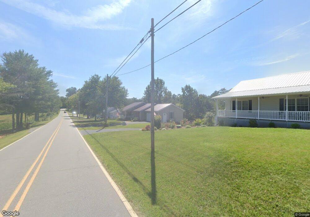
920 New Stock Rd Weaverville, NC 28787
Estimated Value: $493,000 - $585,000
3
Beds
3
Baths
1,400
Sq Ft
$385/Sq Ft
Est. Value
About This Home
This home is located at 920 New Stock Rd, Weaverville, NC 28787 and is currently estimated at $538,557, approximately $384 per square foot. 920 New Stock Rd is a home located in Buncombe County with nearby schools including North Buncombe Elementary School, North Buncombe Middle, and North Windy Ridge School.
Ownership History
Date
Name
Owned For
Owner Type
Purchase Details
Closed on
Jun 17, 1998
Sold by
Cole C Kent and Cole Joan I
Bought by
West Billy Ray and West Connie L
Current Estimated Value
Home Financials for this Owner
Home Financials are based on the most recent Mortgage that was taken out on this home.
Original Mortgage
$83,900
Outstanding Balance
$16,916
Interest Rate
7.14%
Mortgage Type
Unknown
Estimated Equity
$521,641
Purchase Details
Closed on
Aug 5, 1997
Sold by
Ponder G Arnold
Bought by
Cole
Create a Home Valuation Report for This Property
The Home Valuation Report is an in-depth analysis detailing your home's value as well as a comparison with similar homes in the area
Home Values in the Area
Average Home Value in this Area
Purchase History
| Date | Buyer | Sale Price | Title Company |
|---|---|---|---|
| West Billy Ray | $135,000 | -- | |
| Cole | $16,500 | -- |
Source: Public Records
Mortgage History
| Date | Status | Borrower | Loan Amount |
|---|---|---|---|
| Open | West Billy Ray | $83,900 |
Source: Public Records
Tax History Compared to Growth
Tax History
| Year | Tax Paid | Tax Assessment Tax Assessment Total Assessment is a certain percentage of the fair market value that is determined by local assessors to be the total taxable value of land and additions on the property. | Land | Improvement |
|---|---|---|---|---|
| 2025 | $1,747 | $272,800 | $15,200 | $257,600 |
| 2024 | $1,747 | $272,800 | $30,200 | $242,600 |
| 2023 | $1,747 | $272,800 | $30,200 | $242,600 |
| 2022 | $1,625 | $272,800 | $0 | $0 |
| 2021 | $1,625 | $272,800 | $0 | $0 |
| 2020 | $1,443 | $222,300 | $0 | $0 |
| 2019 | $1,443 | $222,300 | $0 | $0 |
| 2018 | $1,443 | $222,300 | $0 | $0 |
| 2017 | $1,447 | $190,900 | $0 | $0 |
| 2016 | $1,367 | $190,900 | $0 | $0 |
| 2015 | $1,367 | $190,900 | $0 | $0 |
| 2014 | $1,367 | $190,900 | $0 | $0 |
Source: Public Records
Map
Nearby Homes
- 115 Nader Ave
- 21 Hope Rd
- 213 Monticello Rd
- 27 Sage Crest Loop
- 30 Benedict Ln
- 34 Benedict Ln Unit 13
- 103 Gregory Ct
- 64 Benedict Ln
- 99999 Monticello Rd
- 318 Monticello Rd
- 9 Ginger Spice Trail
- 85 Alpine Way
- 99999 Northridge Commons Pkwy Unit 1
- 56 Gill Branch Rd
- 144 Pinebrook Rd
- 99999 Bett Stroud Rd Unit 2
- 99999 Bett Stroud Rd Unit 3
- Craftsman 245 Plan at Pinebrook Farms - Single Family
- Brentwood 2 Plan at Pinebrook Farms - Single Family
- 25 Colby Dr
- 924 New Stock Rd
- 916 New Stock Rd
- 912 New Stock Rd
- 942 New Stock Rd
- 908 New Stock Rd
- 905 New Stock Rd
- 940 New Stock Rd
- 902 New Stock Rd
- 900 New Stock Rd
- 1 E Rolling Meadows Ln
- 960 New Stock Rd
- 000 Rolling Meadows Ln
- 980 New Stock Rd
- 8 W Rolling Meadows Ln
- 3 W Rolling Meadows Ln
- 15 W Rolling Meadows Ln
- 981 New Stock Rd
- 981 New Stock Rd Unit 2
- 0000 New Stock Rd Unit 1
- 00 New Stock Rd