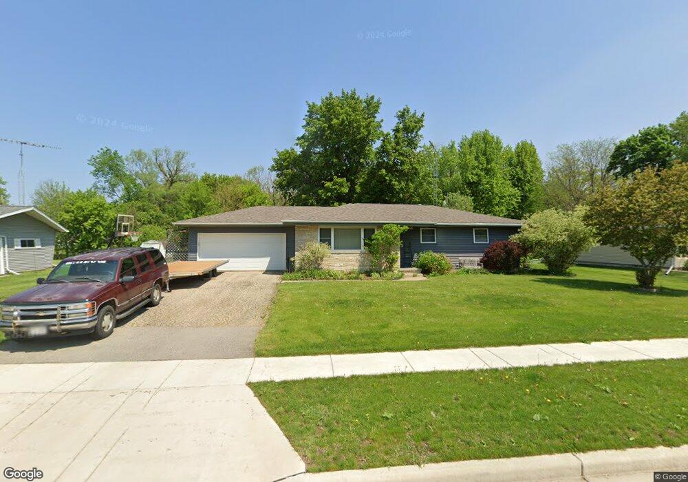
920 Newton Ave Waupun, WI 53963
Estimated Value: $238,000 - $253,000
--
Bed
--
Bath
--
Sq Ft
0.32
Acres
About This Home
This home is located at 920 Newton Ave, Waupun, WI 53963 and is currently estimated at $245,335. 920 Newton Ave is a home located in Fond du Lac County with nearby schools including Meadow View Primary School, Rock River Intermediate School, and Waupun Area Junior High School.
Ownership History
Date
Name
Owned For
Owner Type
Purchase Details
Closed on
Aug 28, 2024
Sold by
Demotts Scott H and Demotts Carrie
Bought by
Truttmann Emily A
Current Estimated Value
Purchase Details
Closed on
Mar 11, 2015
Sold by
Demotts Scott H
Bought by
Demotts Scott H and Demotts Carrie
Purchase Details
Closed on
Nov 22, 2006
Sold by
Kempf Dennis
Bought by
Demotts Scott H and Demotts Nicole R
Create a Home Valuation Report for This Property
The Home Valuation Report is an in-depth analysis detailing your home's value as well as a comparison with similar homes in the area
Home Values in the Area
Average Home Value in this Area
Purchase History
| Date | Buyer | Sale Price | Title Company |
|---|---|---|---|
| Truttmann Emily A | $230,000 | Andrew Law Offices Sc | |
| Demotts Scott H | -- | None Available | |
| Demotts Scott H | -- | None Available | |
| Demotts Scott H | $100,000 | None Available |
Source: Public Records
Tax History Compared to Growth
Tax History
| Year | Tax Paid | Tax Assessment Tax Assessment Total Assessment is a certain percentage of the fair market value that is determined by local assessors to be the total taxable value of land and additions on the property. | Land | Improvement |
|---|---|---|---|---|
| 2024 | $3,030 | $175,500 | $29,500 | $146,000 |
| 2023 | $2,864 | $175,500 | $29,500 | $146,000 |
| 2022 | $2,834 | $175,500 | $29,500 | $146,000 |
| 2021 | $2,635 | $128,700 | $27,000 | $101,700 |
| 2020 | $2,694 | $128,700 | $27,000 | $101,700 |
| 2019 | $2,617 | $128,700 | $27,000 | $101,700 |
| 2018 | $2,531 | $128,700 | $27,000 | $101,700 |
| 2017 | $2,399 | $108,400 | $25,300 | $83,100 |
| 2016 | $2,256 | $108,400 | $25,300 | $83,100 |
| 2015 | $2,417 | $108,400 | $25,300 | $83,100 |
| 2014 | $2,204 | $108,400 | $25,300 | $83,100 |
| 2013 | $2,278 | $108,400 | $25,300 | $83,100 |
Source: Public Records
Map
Nearby Homes
- 736 Fern St
- 181 Harmsen Ave
- 709 W Jefferson St
- 524 W Jefferson St
- 307 Elm Ave
- 231 Hillyer St
- 17.92 Ac Pattee Dr
- 25 Taylor St
- 227 S State St
- 10 S Forest St
- 258 S Drummond St
- 429 S Drummond St
- 315 E Main St
- 231 Woodland Dr
- 201 S Madison St
- 434 Jackson St
- 306 Rounsville St
- 595 Carrington St
- 516 E Lincoln St
- 618 Carrington St