Estimated Value: $212,659 - $296,000
3
Beds
3
Baths
2,750
Sq Ft
$89/Sq Ft
Est. Value
About This Home
This home is located at 920 Palm Dr, Alamo, TX 78516 and is currently estimated at $244,915, approximately $89 per square foot. 920 Palm Dr is a home located in Hidalgo County with nearby schools including Capt. D. Salinas Elementary School, Dora M. Sauceda Middle School, and Donna North High School.
Ownership History
Date
Name
Owned For
Owner Type
Purchase Details
Closed on
Jan 22, 2021
Sold by
Estate Of Edwin Ernest Cohrs
Bought by
Curtis Jeffrey Neil
Current Estimated Value
Home Financials for this Owner
Home Financials are based on the most recent Mortgage that was taken out on this home.
Original Mortgage
$102,750
Outstanding Balance
$91,705
Interest Rate
2.71%
Mortgage Type
New Conventional
Estimated Equity
$153,210
Purchase Details
Closed on
Sep 10, 2007
Sold by
Cohrs Wilma Irene and The Earl Francis & Wilma Irene
Bought by
Cohrs Edwin Ernest
Create a Home Valuation Report for This Property
The Home Valuation Report is an in-depth analysis detailing your home's value as well as a comparison with similar homes in the area
Home Values in the Area
Average Home Value in this Area
Purchase History
| Date | Buyer | Sale Price | Title Company |
|---|---|---|---|
| Curtis Jeffrey Neil | -- | Valley Land Title | |
| Cohrs Edwin Ernest | -- | None Available |
Source: Public Records
Mortgage History
| Date | Status | Borrower | Loan Amount |
|---|---|---|---|
| Open | Curtis Jeffrey Neil | $102,750 |
Source: Public Records
Tax History Compared to Growth
Tax History
| Year | Tax Paid | Tax Assessment Tax Assessment Total Assessment is a certain percentage of the fair market value that is determined by local assessors to be the total taxable value of land and additions on the property. | Land | Improvement |
|---|---|---|---|---|
| 2025 | $1,959 | $182,698 | -- | -- |
| 2024 | $1,959 | $166,089 | -- | -- |
| 2023 | $3,843 | $150,990 | $0 | $0 |
| 2022 | $3,576 | $137,264 | $29,375 | $107,889 |
| 2021 | $4,288 | $163,434 | $29,375 | $150,672 |
| 2020 | $4,028 | $148,576 | $29,375 | $125,035 |
| 2019 | $3,704 | $135,069 | $32,907 | $102,162 |
| 2018 | $3,526 | $129,430 | $32,907 | $105,212 |
| 2017 | $3,246 | $117,664 | $32,907 | $84,757 |
| 2016 | $3,189 | $115,599 | $32,907 | $82,692 |
| 2015 | $2,617 | $115,599 | $32,907 | $82,692 |
Source: Public Records
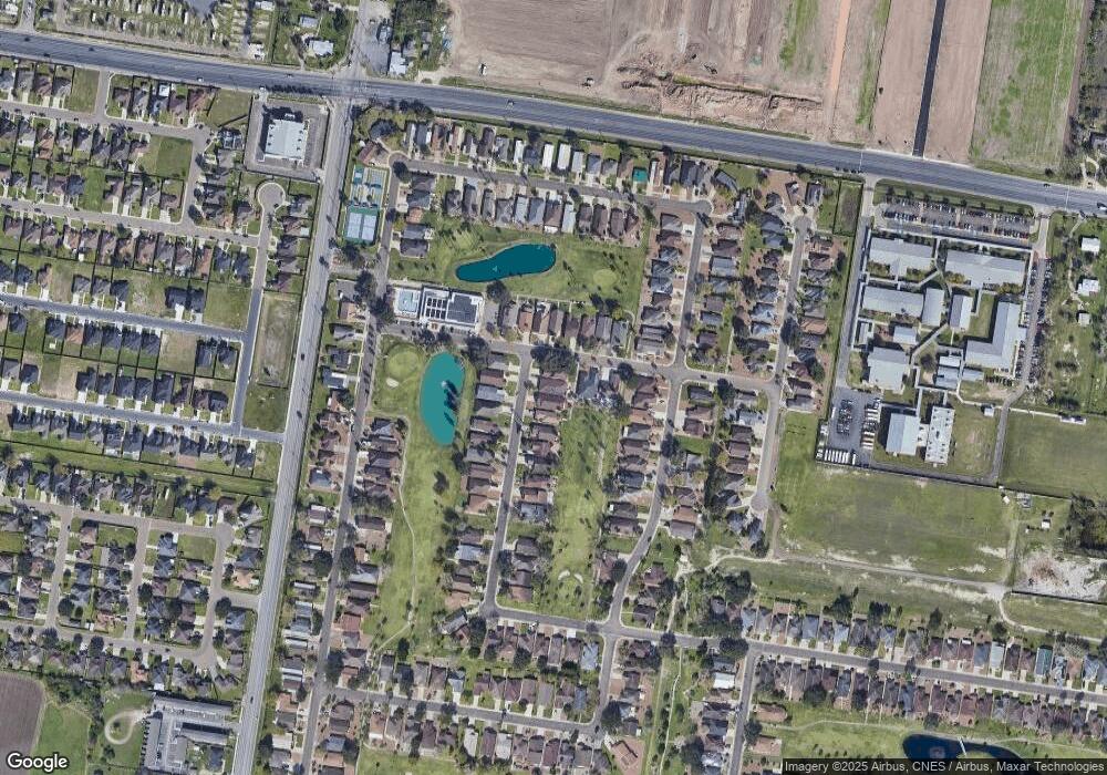
Map
Nearby Homes
- 1016 Palm Dr
- 419 Country Club Dr
- 912 Palm Dr
- 917 Citrus Dr
- 912 Santa Anna Dr
- 1233 Country Club Dr
- 421 Diana Dr
- 928 Katrin Dr
- 510 Greystone Cir
- 731 N Tower Rd
- Sophora Plan at Las Cruces
- Valencia Plan at Las Cruces
- Tularosa Plan at Las Cruces
- Clovis Plan at Las Cruces
- Duranta Plan at Las Cruces
- 516 Hunter Dr
- 517 Hunter Dr
- 520 Country Club Dr
- 821 Nada Dr
- 810 Santa Anna Dr
- 918 Palm Dr
- 916 Palm Dr
- 1040 Palm Dr Unit 4
- 1040 Palm Dr Unit 3
- 1036 Palm Dr Unit 4
- 1036 Palm Dr Unit 3
- 1036 Palm Dr Unit 1
- 1032 Palm Dr Unit 2
- 1032 Palm Dr Unit 1
- 1020 Palm Dr Unit 2
- 1020 Palm Dr Unit 1
- 1016 Palm Dr Unit 3
- 1016 Palm Dr Unit 2
- 1040 Palm Dr Unit 1
- 415 Country Club Dr
- Country Club Country Club Dr
- 914 Palm Dr
- 921 Palm Dr
- 923 Palm Dr
- 413 Country Club Dr