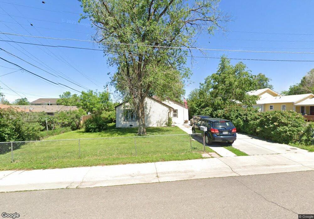
920 S Yates St Denver, CO 80219
Westwood NeighborhoodEstimated Value: $391,410 - $467,000
4
Beds
1
Bath
1,213
Sq Ft
$352/Sq Ft
Est. Value
About This Home
This home is located at 920 S Yates St, Denver, CO 80219 and is currently estimated at $426,853, approximately $351 per square foot. 920 S Yates St is a home located in Denver County with nearby schools including Force Elementary School, Kepner Beacon Middle School, and John F Kennedy High School.
Ownership History
Date
Name
Owned For
Owner Type
Purchase Details
Closed on
Nov 29, 2016
Sold by
Menzor Rosalita and Menzor Antoinette
Bought by
Marquez Paul
Current Estimated Value
Home Financials for this Owner
Home Financials are based on the most recent Mortgage that was taken out on this home.
Original Mortgage
$225,834
Outstanding Balance
$185,183
Interest Rate
4.37%
Mortgage Type
FHA
Estimated Equity
$241,670
Purchase Details
Closed on
Jul 13, 2006
Sold by
Menzor Joe D and Menzor Rosalita
Bought by
Menzor Rosalita and Menzor Antoinette
Create a Home Valuation Report for This Property
The Home Valuation Report is an in-depth analysis detailing your home's value as well as a comparison with similar homes in the area
Home Values in the Area
Average Home Value in this Area
Purchase History
| Date | Buyer | Sale Price | Title Company |
|---|---|---|---|
| Marquez Paul | $230,000 | Stewart Title | |
| Menzor Rosalita | -- | None Available |
Source: Public Records
Mortgage History
| Date | Status | Borrower | Loan Amount |
|---|---|---|---|
| Open | Marquez Paul | $225,834 |
Source: Public Records
Tax History
| Year | Tax Paid | Tax Assessment Tax Assessment Total Assessment is a certain percentage of the fair market value that is determined by local assessors to be the total taxable value of land and additions on the property. | Land | Improvement |
|---|---|---|---|---|
| 2025 | $1,946 | $26,410 | $18,060 | $18,060 |
| 2024 | $1,946 | $24,570 | $13,480 | $11,090 |
| 2023 | $1,904 | $24,570 | $13,480 | $11,090 |
| 2022 | $1,785 | $22,440 | $16,920 | $5,520 |
| 2021 | $1,722 | $23,080 | $17,400 | $5,680 |
| 2020 | $1,418 | $19,110 | $10,990 | $8,120 |
| 2019 | $1,378 | $19,110 | $10,990 | $8,120 |
| 2018 | $1,309 | $16,920 | $11,070 | $5,850 |
| 2017 | $1,305 | $16,920 | $11,070 | $5,850 |
| 2016 | $431 | $10,570 | $10,197 | $373 |
| 2015 | $826 | $10,570 | $10,197 | $373 |
| 2014 | $563 | $6,780 | $5,102 | $1,678 |
Source: Public Records
Map
Nearby Homes
- 927 S Yates St Unit A
- 971 S Wolff St
- 950 S Wolff St
- 4860 W Ohio Ave
- 5110 W Ohio Ave
- 776 S Yates St
- 1100 S Zenobia St
- 1141 S Zenobia St
- 1145 S Wolff St
- 4450 W Kentucky Ave
- 1165 S Winona Ct
- 971 S Tennyson St
- 4840 W Gill Place
- 4445 W Tennessee Ave
- 1232 S Zenobia St Unit 8
- 5410 W Mississippi Ave
- 5485 W Arizona Ave
- 5420 W Mississippi Ave
- 1235 S Benton St
- 754 S Depew St
- 930 S Yates St
- 936 S Yates St
- 4986 W Kentucky Ave Unit 4988
- 4952 W Kentucky Ave
- 4990 W Kentucky Ave
- 4938 W Kentucky Ave
- 944 S Yates St
- 923 S Yates St
- 5000 W Kentucky Ave
- 5006 W Kentucky Ave
- 927 S Yates St
- 927 S Yates St Unit B
- 4916 W Kentucky Ave
- 950 S Yates St
- 4969 Morrison Rd
- 5050 W Kentucky Ave
- 4967 Morrison Rd
- 941 S Yates St
- 954 S Yates St
- 4900 W Kentucky Ave
Your Personal Tour Guide
Ask me questions while you tour the home.