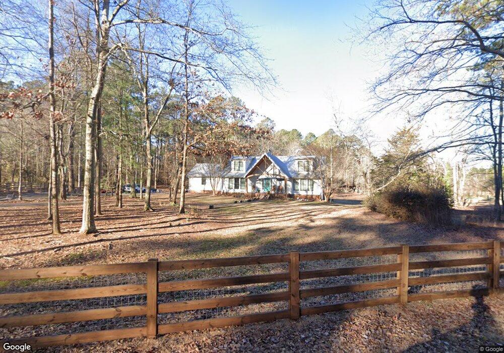
920 Stillbrook Dr Monroe, GA 30655
Estimated Value: $450,000 - $500,000
--
Bed
--
Bath
2,475
Sq Ft
$194/Sq Ft
Est. Value
About This Home
This home is located at 920 Stillbrook Dr, Monroe, GA 30655 and is currently estimated at $481,074, approximately $194 per square foot. 920 Stillbrook Dr is a home located in Walton County with nearby schools including Harmony Elementary School, Carver Middle School, and Monroe Area High School.
Ownership History
Date
Name
Owned For
Owner Type
Purchase Details
Closed on
Jul 31, 2006
Sold by
Lee Coker Llc
Bought by
Stone William P
Current Estimated Value
Home Financials for this Owner
Home Financials are based on the most recent Mortgage that was taken out on this home.
Original Mortgage
$630,000
Interest Rate
6.6%
Mortgage Type
New Conventional
Purchase Details
Closed on
Jun 6, 1979
Bought by
Lee Delmar Ronnie
Create a Home Valuation Report for This Property
The Home Valuation Report is an in-depth analysis detailing your home's value as well as a comparison with similar homes in the area
Home Values in the Area
Average Home Value in this Area
Purchase History
| Date | Buyer | Sale Price | Title Company |
|---|---|---|---|
| Stone William P | $700,000 | -- | |
| Lee Delmar Ronnie | -- | -- |
Source: Public Records
Mortgage History
| Date | Status | Borrower | Loan Amount |
|---|---|---|---|
| Closed | Stone William P | $630,000 |
Source: Public Records
Tax History Compared to Growth
Tax History
| Year | Tax Paid | Tax Assessment Tax Assessment Total Assessment is a certain percentage of the fair market value that is determined by local assessors to be the total taxable value of land and additions on the property. | Land | Improvement |
|---|---|---|---|---|
| 2024 | $4,165 | $141,280 | $40,040 | $101,240 |
| 2023 | $4,136 | $136,360 | $37,480 | $98,880 |
| 2022 | $4,027 | $127,360 | $33,520 | $93,840 |
| 2021 | $3,287 | $100,880 | $26,040 | $74,840 |
| 2020 | $3,126 | $93,560 | $22,440 | $71,120 |
| 2019 | $2,972 | $86,040 | $19,920 | $66,120 |
| 2018 | $2,877 | $86,040 | $19,920 | $66,120 |
| 2017 | $2,777 | $80,600 | $19,920 | $60,680 |
| 2016 | $2,475 | $72,880 | $14,200 | $58,680 |
| 2015 | $2,102 | $60,920 | $12,880 | $48,040 |
| 2014 | $2,136 | $60,360 | $12,280 | $48,080 |
Source: Public Records
Map
Nearby Homes
- 710 Poplar St
- 725 Poplar St
- 592 Gene Bell Rd NE
- 574 Gene Bell Rd NE
- 1628 Brook Ln
- 490 Gene Bell Rd NE
- 1200 Magnolia Ridge
- 607 Cantor Way
- Ashmore Plan at Brookland Commons
- Danbury Plan at Brookland Commons
- Denton TH Plan at Brookland Commons
- Avril Plan at Brookland Commons
- Ashton Plan at Brookland Commons
- Oakgrove Plan at Brookland Commons
- AnsonTH Plan at Brookland Commons
- 924 Stow Ln
- 912 Stow Ln
- 918 Stow Ln
- Brentwood Plan at Brookland Commons
- 906 Stow Ln
- 890 Stillbrook Dr
- 804 Old Forrester Rd
- 909 Stillbrook Dr
- 783 Old Forrester Rd
- 870 Stillbrook Dr
- 0 Vasco Adcock Rd
- 0 Vasco Adcock Rd Unit CM917721
- 0 Vasco Adcock Rd Unit 7498425
- 0 Vasco Adcock Rd Unit 3204557
- 0 Vasco Adcock Rd Unit 8292633
- 0 Vasco Adcock Rd Unit 8813980
- 0 Vasco Adcock Rd Unit 2896329
- 869 Stillbrook Dr
- 0 Old Forrester Rd
- 784 Old Forrester Rd
- 850 Stillbrook Dr
- 849 Stillbrook Dr
- 640 Poplar St
- 744 Poplar St
- 763 Old Forrester Rd