Estimated Value: $179,934 - $256,000
--
Bed
2
Baths
1,200
Sq Ft
$169/Sq Ft
Est. Value
About This Home
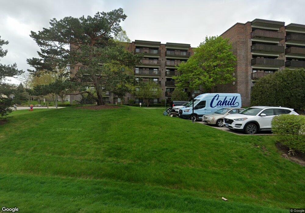
This home is located at 920 Vose Dr, Gurnee, IL 60031 and is currently estimated at $202,484, approximately $168 per square foot. 920 Vose Dr is a home located in Lake County with nearby schools including Woodland Primary School, Woodland Elementary School, and Woodland Intermediate School.
Ownership History
Date
Name
Owned For
Owner Type
Purchase Details
Closed on
Sep 28, 2011
Sold by
Shadron Lois
Bought by
Vasquez Pedro
Current Estimated Value
Home Financials for this Owner
Home Financials are based on the most recent Mortgage that was taken out on this home.
Original Mortgage
$60,300
Outstanding Balance
$41,384
Interest Rate
4.23%
Mortgage Type
New Conventional
Estimated Equity
$161,100
Purchase Details
Closed on
Aug 11, 1995
Sold by
Johnson Christine Ann and Johnson Mildred C
Bought by
Shadron Warren R
Create a Home Valuation Report for This Property
The Home Valuation Report is an in-depth analysis detailing your home's value as well as a comparison with similar homes in the area
Home Values in the Area
Average Home Value in this Area
Purchase History
| Date | Buyer | Sale Price | Title Company |
|---|---|---|---|
| Vasquez Pedro | $67,000 | First American Title | |
| Shadron Warren R | $78,000 | Attorneys Natl Title Network |
Source: Public Records
Mortgage History
| Date | Status | Borrower | Loan Amount |
|---|---|---|---|
| Open | Vasquez Pedro | $60,300 |
Source: Public Records
Tax History Compared to Growth
Tax History
| Year | Tax Paid | Tax Assessment Tax Assessment Total Assessment is a certain percentage of the fair market value that is determined by local assessors to be the total taxable value of land and additions on the property. | Land | Improvement |
|---|---|---|---|---|
| 2024 | $2,399 | $44,830 | $3,235 | $41,595 |
| 2023 | $2,384 | $40,409 | $2,916 | $37,493 |
| 2022 | $2,384 | $35,457 | $2,916 | $32,541 |
| 2021 | $2,579 | $34,034 | $2,799 | $31,235 |
| 2020 | $2,486 | $33,197 | $2,730 | $30,467 |
| 2019 | $2,676 | $35,151 | $2,651 | $32,500 |
| 2018 | $2,083 | $29,090 | $2,608 | $26,482 |
| 2017 | $2,054 | $28,256 | $2,533 | $25,723 |
| 2016 | $2,018 | $26,998 | $2,420 | $24,578 |
| 2015 | $1,942 | $25,605 | $2,295 | $23,310 |
| 2014 | $1,911 | $25,389 | $2,263 | $23,126 |
| 2012 | $2,299 | $25,583 | $2,280 | $23,303 |
Source: Public Records
About This Building
Map
Nearby Homes
- 920 Vose Dr Unit 304
- 920 Vose Dr Unit 106
- 920 Vose Dr Unit 105
- 914 Vose Dr
- 917 Vose Dr Unit 304
- 6141 Crossland Blvd
- 776 Chandler Rd
- 6121 Brookstone Place
- 741 Colby Ct Unit U42
- 690 Chandler Rd Unit 102
- 690 Chandler Rd Unit 207
- 690 Chandler Rd Unit 305
- 650 Whitney Ct Unit 108
- 650 Whitney Ct Unit 203
- 651 White Ct
- 638 Dordan Ct
- 711 Creekside Cir Unit 103
- 761 Creekside Cir Unit 93
- 600 Creekside Cir Unit 85
- 6296 Doral Dr