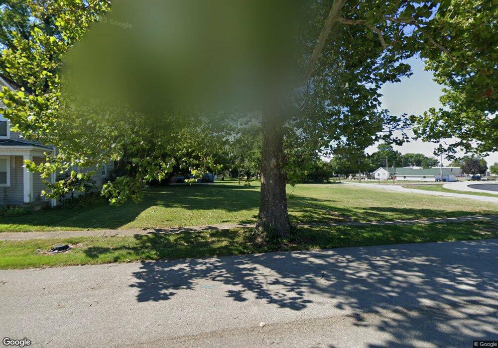
920 W 5th St Mount Vernon, IN 47620
Estimated Value: $113,000
2
Beds
2
Baths
2,378
Sq Ft
$48/Sq Ft
Est. Value
About This Home
This home is located at 920 W 5th St, Mount Vernon, IN 47620 and is currently priced at $113,000, approximately $47 per square foot. 920 W 5th St is a home located in Posey County with nearby schools including Mount Vernon Junior High School, Mount Vernon High School, and St. Matthew Elementary School.
Ownership History
Date
Name
Owned For
Owner Type
Purchase Details
Closed on
Apr 29, 2019
Sold by
City Of Mount Vernon Indiana
Bought by
Metropolitan School Dist Of Mount Vernon
Current Estimated Value
Purchase Details
Closed on
Feb 12, 2018
Sold by
Mount Vernon Redevelopment Commission
Bought by
City Of Mount Vernon
Purchase Details
Closed on
Aug 16, 2017
Sold by
Alumbaugh William D
Bought by
Mount Vernon Redevelopment Commission
Home Financials for this Owner
Home Financials are based on the most recent Mortgage that was taken out on this home.
Original Mortgage
$25,000
Interest Rate
3.96%
Mortgage Type
Purchase Money Mortgage
Purchase Details
Closed on
Feb 15, 2010
Sold by
James W Davis
Bought by
William D Alumbaugh
Purchase Details
Closed on
Apr 10, 2007
Sold by
Handel Phillip E and Handel Dorothy P
Bought by
Davis James W and Davis Mary E
Create a Home Valuation Report for This Property
The Home Valuation Report is an in-depth analysis detailing your home's value as well as a comparison with similar homes in the area
Home Values in the Area
Average Home Value in this Area
Purchase History
| Date | Buyer | Sale Price | Title Company |
|---|---|---|---|
| Metropolitan School Dist Of Mount Vernon | -- | None Available | |
| City Of Mount Vernon | -- | None Available | |
| Mount Vernon Redevelopment Commission | -- | None Available | |
| William D Alumbaugh | $8,000 | Bfoh | |
| Davis James W | -- | None Available |
Source: Public Records
Mortgage History
| Date | Status | Borrower | Loan Amount |
|---|---|---|---|
| Previous Owner | Mount Vernon Redevelopment Commission | $25,000 |
Source: Public Records
Tax History Compared to Growth
Tax History
| Year | Tax Paid | Tax Assessment Tax Assessment Total Assessment is a certain percentage of the fair market value that is determined by local assessors to be the total taxable value of land and additions on the property. | Land | Improvement |
|---|---|---|---|---|
| 2024 | -- | $0 | $0 | $0 |
| 2023 | -- | $0 | $0 | $0 |
| 2022 | $0 | $0 | $0 | $0 |
| 2021 | $128 | $0 | $0 | $0 |
| 2020 | $128 | $0 | $0 | $0 |
| 2019 | $128 | $0 | $0 | $0 |
| 2018 | $0 | $0 | $0 | $0 |
| 2017 | $128 | $6,400 | $6,400 | $0 |
| 2016 | $1,064 | $26,900 | $6,400 | $20,500 |
| 2014 | $526 | $26,300 | $6,400 | $19,900 |
| 2013 | $526 | $26,900 | $6,800 | $20,100 |
Source: Public Records
Map
Nearby Homes
- 908 W 4th St
- 1108 W 2nd St
- 521 W 2nd St
- 230 Vine St
- 407 W 4th St
- 721 Smith Rd
- 1613 Country Club Rd
- 1621 Terrace Dr
- 905 Smith Rd
- 20 Parkridge Dr
- 305 Brown St
- 36 Parkridge Dr
- 311 W Grant St
- 10800 Hwy 69 & Along Ohio River Rd
- 427 E 5th St
- 601 N Canal St
- 1230 Dereham Dr
- 507 E Water St
- 1810 Tanglewood Dr
- 531 E 5th St