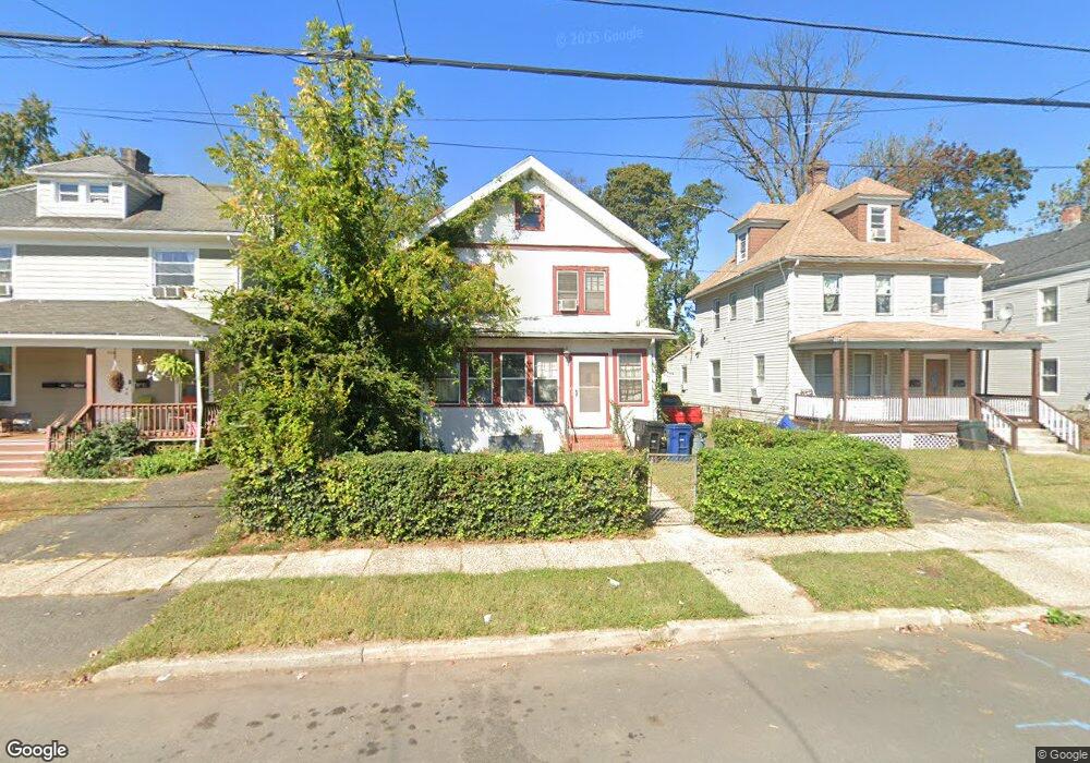
920 W 5th St Unit 22 Plainfield, NJ 07063
Estimated Value: $378,125 - $549,000
--
Bed
--
Bath
1,476
Sq Ft
$313/Sq Ft
Est. Value
About This Home
This home is located at 920 W 5th St Unit 22, Plainfield, NJ 07063 and is currently estimated at $462,531, approximately $313 per square foot. 920 W 5th St Unit 22 is a home located in Union County with nearby schools including Washington Community School, Hubbard Middle School, and Plainfield High School.
Ownership History
Date
Name
Owned For
Owner Type
Purchase Details
Closed on
Jul 21, 2006
Sold by
Ellis Henrietta L May
Bought by
Ellis Henrietta L
Current Estimated Value
Purchase Details
Closed on
Oct 11, 2002
Sold by
Layne Douglas
Bought by
Wolfenson Andrew
Home Financials for this Owner
Home Financials are based on the most recent Mortgage that was taken out on this home.
Original Mortgage
$108,000
Interest Rate
6.2%
Create a Home Valuation Report for This Property
The Home Valuation Report is an in-depth analysis detailing your home's value as well as a comparison with similar homes in the area
Home Values in the Area
Average Home Value in this Area
Purchase History
| Date | Buyer | Sale Price | Title Company |
|---|---|---|---|
| Ellis Henrietta L | -- | -- | |
| Wolfenson Andrew | $120,000 | -- |
Source: Public Records
Mortgage History
| Date | Status | Borrower | Loan Amount |
|---|---|---|---|
| Previous Owner | Wolfenson Andrew | $108,000 |
Source: Public Records
Tax History Compared to Growth
Tax History
| Year | Tax Paid | Tax Assessment Tax Assessment Total Assessment is a certain percentage of the fair market value that is determined by local assessors to be the total taxable value of land and additions on the property. | Land | Improvement |
|---|---|---|---|---|
| 2025 | $7,160 | $82,000 | $25,800 | $56,200 |
| 2024 | $7,090 | $82,000 | $25,800 | $56,200 |
| 2023 | $7,090 | $82,000 | $25,800 | $56,200 |
| 2022 | $6,936 | $82,000 | $25,800 | $56,200 |
| 2021 | $6,876 | $82,000 | $25,800 | $56,200 |
| 2020 | $6,856 | $82,000 | $25,800 | $56,200 |
| 2019 | $6,856 | $82,000 | $25,800 | $56,200 |
| 2018 | $6,713 | $82,000 | $25,800 | $56,200 |
| 2017 | $6,549 | $82,000 | $25,800 | $56,200 |
| 2016 | $6,415 | $82,000 | $25,800 | $56,200 |
| 2015 | $5,975 | $82,000 | $25,800 | $56,200 |
| 2014 | $5,807 | $82,000 | $25,800 | $56,200 |
Source: Public Records
Map
Nearby Homes
- 325-29 Stebbins Place Unit 4
- 950 W 6th St Unit 52
- 809-11 W 4th St
- 954 W 4th St
- 946 W 7th St Unit 48
- 301 Grant Ave Unit 3
- 312 Monroe Ave Unit 14
- 610 Darrow Ave Unit 16
- 829 S 2nd St
- 338 Manson Place Unit 40
- 223 Monroe Ave
- 211 Grant Ave
- 318-20 Manson Place
- 333 Mcdowell St Unit 35
- 667 S 2nd St
- 717 W 7th St
- 951 W Front St
- 681 W 3rd St Unit 83
- 905 Stelle Ave Unit 7
- 824 Monroe Ave Unit 26
- 916 W 5th St Unit 18
- 916 W 5th St Unit 2
- 924 W 5th St
- 926-28 W 5th St
- 914 W 5th St
- 926 W 5th St Unit 28
- 910 W 5th St Unit 12
- 930 W 5th St Unit 32
- 908 W 5th St
- 925 W 5th St Unit 27
- 921 W 5th St Unit 23
- 919 W 5th St
- 917 W 5th St
- 917 W 4th St
- 919 W 4th St Unit 21
- 929 W 5th St Unit 31
- 934 W 5th St Unit 36
- 923 W 4th St Unit 25
- 909 W 5th St Unit 15
- 927 W 4th St Unit 29