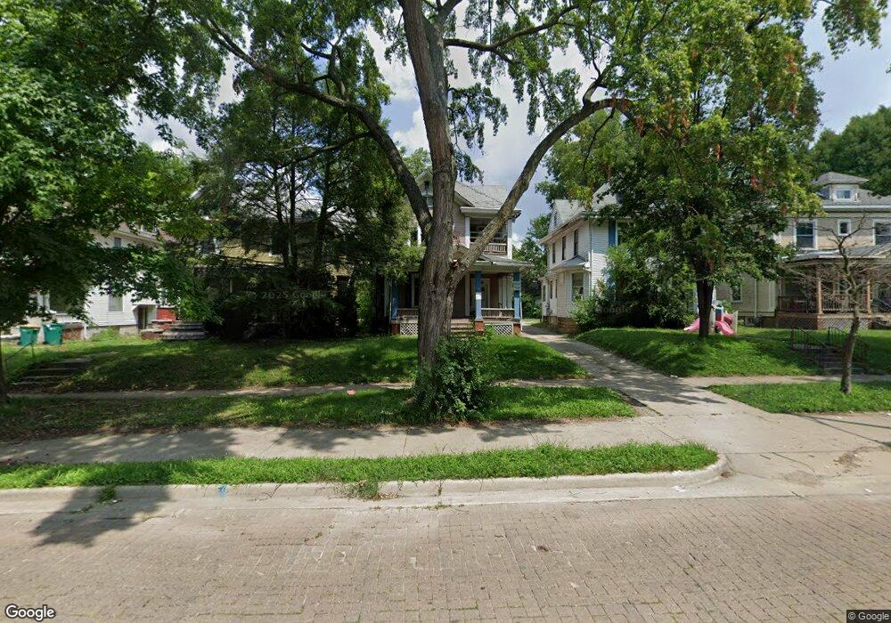
920 W Main St Decatur, IL 62522
Millikin Home NeighborhoodEstimated Value: $39,000 - $96,000
--
Bed
2
Baths
950
Sq Ft
$71/Sq Ft
Est. Value
About This Home
This home is located at 920 W Main St, Decatur, IL 62522 and is currently estimated at $67,414, approximately $70 per square foot. 920 W Main St is a home located in Macon County with nearby schools including Dennis Lab School, St. Patrick School, and Teen Challenge-Home For Girls.
Ownership History
Date
Name
Owned For
Owner Type
Purchase Details
Closed on
May 30, 2013
Sold by
Weldy Roger D and Weldy Glenda S
Bought by
Mechling Ron
Current Estimated Value
Purchase Details
Closed on
Oct 21, 2009
Sold by
Jensen Kathleen M
Bought by
Weldy Roger D and Weldy Glenda S
Home Financials for this Owner
Home Financials are based on the most recent Mortgage that was taken out on this home.
Original Mortgage
$53,000
Interest Rate
5.07%
Mortgage Type
Future Advance Clause Open End Mortgage
Create a Home Valuation Report for This Property
The Home Valuation Report is an in-depth analysis detailing your home's value as well as a comparison with similar homes in the area
Home Values in the Area
Average Home Value in this Area
Purchase History
| Date | Buyer | Sale Price | Title Company |
|---|---|---|---|
| Mechling Ron | $27,500 | None Available | |
| Weldy Roger D | $53,000 | None Available |
Source: Public Records
Mortgage History
| Date | Status | Borrower | Loan Amount |
|---|---|---|---|
| Previous Owner | Weldy Roger D | $53,000 |
Source: Public Records
Tax History Compared to Growth
Tax History
| Year | Tax Paid | Tax Assessment Tax Assessment Total Assessment is a certain percentage of the fair market value that is determined by local assessors to be the total taxable value of land and additions on the property. | Land | Improvement |
|---|---|---|---|---|
| 2024 | $361 | $3,733 | $2,835 | $898 |
| 2023 | $358 | $3,601 | $2,735 | $866 |
| 2022 | $1,770 | $17,305 | $1,480 | $15,825 |
| 2021 | $926 | $9,000 | $1,382 | $7,618 |
| 2020 | $567 | $5,334 | $2,235 | $3,099 |
| 2019 | $567 | $5,334 | $2,235 | $3,099 |
| 2018 | $736 | $7,006 | $2,242 | $4,764 |
| 2017 | $753 | $7,193 | $2,302 | $4,891 |
| 2016 | $768 | $7,266 | $2,325 | $4,941 |
| 2015 | $730 | $7,138 | $2,284 | $4,854 |
| 2014 | $677 | $7,067 | $2,261 | $4,806 |
| 2013 | $700 | $7,332 | $2,346 | $4,986 |
Source: Public Records
Map
Nearby Homes
- 1005 W Main St
- 899 W Main St
- 958 W William St
- 717 W Prairie Ave Unit 2
- 254 N Pine St
- 657 W Wood St
- 609 W William St
- 612 W Macon St
- 441 S Seigel St
- 617 W Decatur St
- 452 W Prairie Ave
- 628 W Forest Ave
- 442 W Prairie Ave
- 450 W Macon St
- 440 W Macon St
- 422 W William St
- 233 N Edward St
- 1065 W Green St
- 437 Powers Ln
- 366 W Prairie Ave
- 912 W Main St
- 928 W Main St
- 906 W Main St
- 904 W Main St
- 940 W Main St
- 950 W Main St
- 6 Millikin Place
- 5 Millikin Place
- 110 N Haworth Ave
- 120 N Haworth Ave
- 935 W Main St
- 915 W Main St
- 953 W Main St
- 140 N Haworth Ave
- 955 W Main St
- 907 W Main St
- 905 W Main St
- 160 N Haworth Ave
- 965 W Main St
- 895 W Main St