920 Wayland Cir Bensalem, PA 19020
Estimated Value: $611,000 - $856,243
4
Beds
3
Baths
3,864
Sq Ft
$189/Sq Ft
Est. Value
About This Home
This home is located at 920 Wayland Cir, Bensalem, PA 19020 and is currently estimated at $730,061, approximately $188 per square foot. 920 Wayland Cir is a home located in Bucks County with nearby schools including School Lane Charter School, St. Ephrem School, and Holy Ghost Preparatory School.
Ownership History
Date
Name
Owned For
Owner Type
Purchase Details
Closed on
Aug 26, 2017
Sold by
Dinardo Sandra
Bought by
Dinardo Gina
Current Estimated Value
Purchase Details
Closed on
Jul 19, 2006
Sold by
Dinardo Antonio and Dinardo Sandra
Bought by
Dinardo Sandra
Purchase Details
Closed on
Jan 28, 1998
Sold by
Dinardo Antonio
Bought by
Dinardo Antonio and Dinardo Sandra
Purchase Details
Closed on
Oct 24, 1997
Sold by
Dinardo Cosmo and Dinardo Gina
Bought by
Dinardo Anthony
Purchase Details
Closed on
Feb 5, 1997
Sold by
Dinardo Cosmo and Dinardo Gina
Bought by
Loduca Guiseppa
Create a Home Valuation Report for This Property
The Home Valuation Report is an in-depth analysis detailing your home's value as well as a comparison with similar homes in the area
Home Values in the Area
Average Home Value in this Area
Purchase History
| Date | Buyer | Sale Price | Title Company |
|---|---|---|---|
| Dinardo Gina | -- | None Available | |
| Dinardo Sandra | -- | None Available | |
| Dinardo Antonio | -- | -- | |
| Dinardo Anthony | -- | -- | |
| Loduca Guiseppa | $175,000 | -- |
Source: Public Records
Tax History Compared to Growth
Tax History
| Year | Tax Paid | Tax Assessment Tax Assessment Total Assessment is a certain percentage of the fair market value that is determined by local assessors to be the total taxable value of land and additions on the property. | Land | Improvement |
|---|---|---|---|---|
| 2025 | $11,428 | $52,350 | $4,160 | $48,190 |
| 2024 | $11,428 | $52,350 | $4,160 | $48,190 |
| 2023 | $11,105 | $52,350 | $4,160 | $48,190 |
| 2022 | $11,041 | $52,350 | $4,160 | $48,190 |
| 2021 | $11,041 | $52,350 | $4,160 | $48,190 |
| 2020 | $10,930 | $52,350 | $4,160 | $48,190 |
| 2019 | $10,686 | $52,350 | $4,160 | $48,190 |
| 2018 | $10,438 | $52,350 | $4,160 | $48,190 |
| 2017 | $10,373 | $52,350 | $4,160 | $48,190 |
| 2016 | $10,373 | $52,350 | $4,160 | $48,190 |
| 2015 | -- | $52,350 | $4,160 | $48,190 |
| 2014 | -- | $52,350 | $4,160 | $48,190 |
Source: Public Records
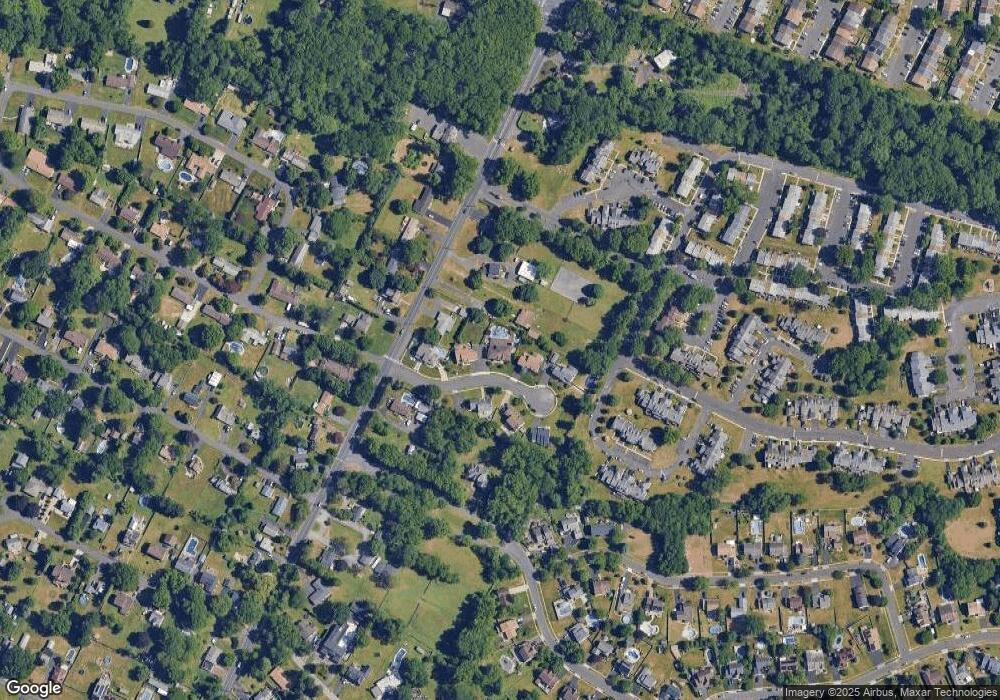
Map
Nearby Homes
- 446 N Mount Vernon Cir Unit 446
- 419 Rutgers Ct
- 435 N Mount Vernon Cir Unit 435
- 393 Rutgers Ct Unit 393
- 1100 Wayland Ave
- 389 Rutgers Ct Unit 389
- 580 S Mount Vernon Cir
- 5110 Bay Rd
- 938 Ashton Rd
- 5107 Leeward Rd
- 953 Farley Rd
- 4783 Meeting Rd
- 5102 Lighthouse Ln
- 801 Cliff Rd
- 5217 Bay Rd
- 4744 Dunston Rd
- L:15 Dunston Rd
- 1440 Atterbury Way
- 3300 Newportville Rd
- 0 Newportville Rd Unit PABU487252
- 916 Wayland Cir
- 924 Wayland Cir
- 4941 Bensalem Blvd
- 900 Wayland Cir
- 904 Wayland Cir
- 4925 Bensalem Blvd
- 928 Wayland Cir
- 912 Wayland Cir
- 4951 Bensalem Blvd
- 908 Wayland Cir
- 4871 Bensalem Blvd
- 905 Jason Dr
- 4967 Bensalem Blvd
- 4924 Bensalem Blvd
- 4936 Bensalem Blvd
- 535 Princeton Ct Unit 535
- 536 Princeton Ct Unit 536
- 1019 Wayland Ave
- 529 S Mount Vernon Cir Unit 529
- 4950 Bensalem Blvd