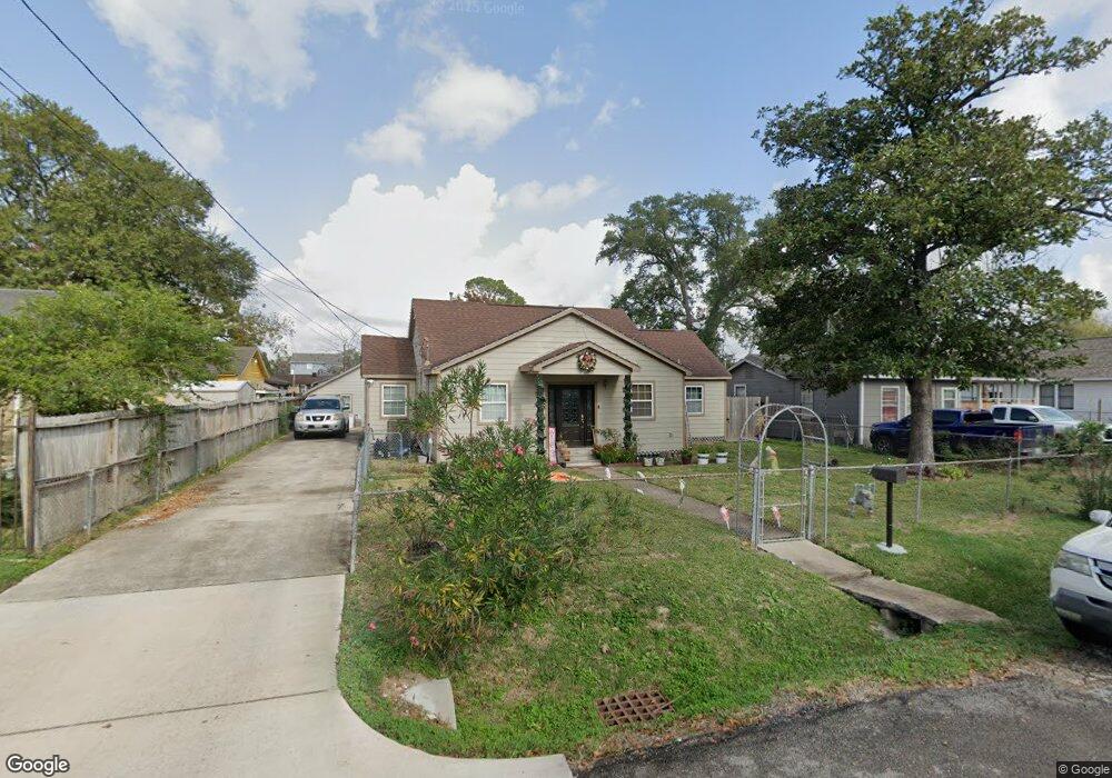
920 Woodcrest Dr Houston, TX 77018
Oak Forest-Garden Oaks NeighborhoodEstimated Value: $235,000 - $519,000
2
Beds
1
Bath
1,724
Sq Ft
$227/Sq Ft
Est. Value
About This Home
This home is located at 920 Woodcrest Dr, Houston, TX 77018 and is currently estimated at $391,376, approximately $227 per square foot. 920 Woodcrest Dr is a home located in Harris County with nearby schools including Durham Elementary School, Frank Black Middle School, and Waltrip High School.
Ownership History
Date
Name
Owned For
Owner Type
Purchase Details
Closed on
Mar 2, 1998
Sold by
Fernandez Osvaldo G and Fernandez Guadalupe
Bought by
Lopez Jose and Lopez Claudia
Current Estimated Value
Home Financials for this Owner
Home Financials are based on the most recent Mortgage that was taken out on this home.
Original Mortgage
$64,000
Outstanding Balance
$11,822
Interest Rate
7.13%
Mortgage Type
Seller Take Back
Estimated Equity
$379,554
Create a Home Valuation Report for This Property
The Home Valuation Report is an in-depth analysis detailing your home's value as well as a comparison with similar homes in the area
Home Values in the Area
Average Home Value in this Area
Purchase History
| Date | Buyer | Sale Price | Title Company |
|---|---|---|---|
| Lopez Jose | -- | American Title Company |
Source: Public Records
Mortgage History
| Date | Status | Borrower | Loan Amount |
|---|---|---|---|
| Open | Lopez Jose | $64,000 |
Source: Public Records
Tax History Compared to Growth
Tax History
| Year | Tax Paid | Tax Assessment Tax Assessment Total Assessment is a certain percentage of the fair market value that is determined by local assessors to be the total taxable value of land and additions on the property. | Land | Improvement |
|---|---|---|---|---|
| 2025 | $2,916 | $471,712 | $420,441 | $51,271 |
| 2024 | $2,916 | $430,627 | $370,389 | $60,238 |
| 2023 | $2,916 | $369,912 | $320,336 | $49,576 |
| 2022 | $4,107 | $324,328 | $300,315 | $24,013 |
| 2021 | $3,952 | $299,511 | $280,294 | $19,217 |
| 2020 | $3,733 | $251,045 | $230,242 | $20,803 |
| 2019 | $3,546 | $200,656 | $170,179 | $30,477 |
| 2018 | $2,290 | $162,186 | $120,126 | $42,060 |
| 2017 | $2,928 | $115,807 | $60,063 | $55,744 |
| 2016 | $2,928 | $115,807 | $60,063 | $55,744 |
| 2015 | $1,937 | $114,120 | $60,063 | $54,057 |
| 2014 | $1,937 | $102,366 | $60,063 | $42,303 |
Source: Public Records
Map
Nearby Homes
- 4854 Brinkman St
- 808 Woodcrest Dr Unit A
- 910 1/2 Oak St
- 807 Martin St Unit D
- 807 Martin St Unit C
- 810 Martin St
- 817 Thornton Rd Unit G
- 817 Thornton Rd Unit F
- 812 Thornton Rd Unit B
- 811 Thornton Rd Unit B
- 9388 Plan at Thornton Oaks
- 9384 Plan at Thornton Oaks
- 4510 Curtin Park Ct
- 717 Janisch Rd Unit C
- 717 Janisch Rd Unit I
- 717 Janisch Rd Unit E
- 717 Janisch Rd Unit D
- 719 Thornton Rd Unit B
- 719 Thornton Rd Unit E
- 719 Thornton Rd Unit A
- 912 Woodcrest Dr
- 4720 Brinkman St
- 924 Woodcrest Dr
- 4722 Brinkman St
- 4724 Brinkman St
- 4712 Brinkman St
- 910 Woodcrest Dr
- 4714 Brinkman St
- 906 Woodcrest Dr
- 915 Woodcrest Dr
- 917 Woodcrest Dr
- 4710 Brinkman St
- 4710 Brinkman St Unit A
- 4708 Brinkman St
- 911 Woodcrest Dr
- 824 Woodcrest Dr
- 906 Chantilly Ln
- 909 Woodcrest Dr
- 907 Martin St
- 902 Chantilly Ln