9200 Beechcraft Blvd Winnemucca, NV 89445
Estimated Value: $427,000
4
Beds
2
Baths
15,357
Sq Ft
$28/Sq Ft
Est. Value
About This Home
This home is located at 9200 Beechcraft Blvd, Winnemucca, NV 89445 and is currently estimated at $427,000, approximately $27 per square foot. 9200 Beechcraft Blvd is a home located in Humboldt County with nearby schools including Grass Valley Elementary School, Winnemucca Junior High School, and French Ford Middle School.
Ownership History
Date
Name
Owned For
Owner Type
Purchase Details
Closed on
Aug 10, 2021
Sold by
Tompkins Gary D and Tompkins Terri A
Bought by
Tompkins Gary D and Tompkins Gary D
Current Estimated Value
Purchase Details
Closed on
Mar 5, 2021
Sold by
Tompkins Bret and Tompkins Stephanie
Bought by
5T Holdings Llc
Purchase Details
Closed on
Jan 28, 2021
Sold by
St Equipment Llc
Bought by
Tompkins Gary D and Tompkins Terri A
Purchase Details
Closed on
Dec 28, 2020
Sold by
Tompkins Gary D and Tompkins Terri A
Bought by
Tompkins Brett and Tompkins Stephanie
Create a Home Valuation Report for This Property
The Home Valuation Report is an in-depth analysis detailing your home's value as well as a comparison with similar homes in the area
Home Values in the Area
Average Home Value in this Area
Purchase History
| Date | Buyer | Sale Price | Title Company |
|---|---|---|---|
| Tompkins Gary D | -- | None Listed On Document | |
| 5T Holdings Llc | $1,452,420 | None Available | |
| Tompkins Gary D | -- | None Available | |
| Tompkins Brett | $1,452 | None Available | |
| Tompkins Gary D | -- | None Available |
Source: Public Records
Tax History Compared to Growth
Tax History
| Year | Tax Paid | Tax Assessment Tax Assessment Total Assessment is a certain percentage of the fair market value that is determined by local assessors to be the total taxable value of land and additions on the property. | Land | Improvement |
|---|---|---|---|---|
| 2025 | $16,278 | $459,530 | $100,495 | $359,035 |
| 2024 | $14,318 | $394,489 | $104,062 | $290,426 |
| 2023 | $14,318 | $376,628 | $0 | $0 |
| 2022 | $9,076 | $355,231 | $78,434 | $276,797 |
| 2021 | $9,411 | $369,755 | $75,837 | $293,918 |
| 2020 | $9,932 | $392,313 | $74,985 | $317,328 |
| 2019 | $10,224 | $410,601 | $75,266 | $335,335 |
| 2018 | $12,621 | $443,748 | $79,544 | $364,204 |
| 2017 | $11,759 | $477,161 | $83,993 | $393,168 |
| 2016 | $12,558 | $359,110 | $67,200 | $291,910 |
| 2015 | $8,822 | $370,943 | $61,066 | $309,877 |
| 2014 | $8,822 | $352,278 | $56,854 | $295,424 |
Source: Public Records
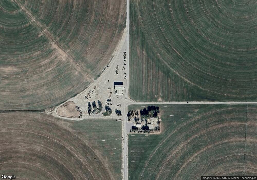
Map
Nearby Homes
- 4710 Crosswind Ave
- 4235 Airview Blvd
- 4370 W Commander Dr
- 3400 Potbelly Rd
- 0 E Donald Ln Unit 250001784
- 3075 Cougar Ct
- 9605 Betty Ln Unit LANE
- 7900 Sunset Dr
- 7650 Grass Valley Rd
- APN 14-0201-16 Cormier Blvd
- 9575 Alice Ln
- 3565 E Commander Dr
- 5525 W Commander Dr
- APN 14-0201-15 Cormier Blvd
- 0 Westmoreland Rd
- 9365 Zaring Dr
- 9690 Zaring Dr
- 9415 Zaring Ave
- 9165 Sabin Dr
- 4715 Stirrup St
- 0 Apn 05-0601-15 Unit 200000119
- 08 Wing Rd
- 4480 Crosswind Ave
- 4410 Crosswind Ave
- 4780 Crosswind Ave
- 3805 W Donald Ln
- 8350 Wing Ave
- 4475 Crosswind Ave
- 4555 Crosswind Ave
- 4405 Crosswind Ave
- 4850 Crosswind Ave
- 8345 Alta Ave
- 8320 Alta Ave
- 4265 Crosswind Ave
- 4845 Crosswind Ave
- 14019008 Adj Airport Estates
- 4775 Crosswind Ave
- 8290 Wing Ave
- 8285 Alta Ave
- 0000 S Wing Ave