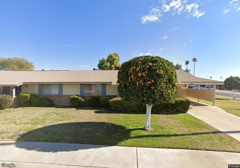
9201 N 107th Dr Sun City, AZ 85351
Estimated Value: $174,000 - $206,983
--
Bed
1
Bath
1,062
Sq Ft
$185/Sq Ft
Est. Value
About This Home
This home is located at 9201 N 107th Dr, Sun City, AZ 85351 and is currently estimated at $196,996, approximately $185 per square foot. 9201 N 107th Dr is a home located in Maricopa County with nearby schools including Desert Mirage Elementary School, Ombudsman - Northwest Charter, and Peoria Accelerated High School.
Ownership History
Date
Name
Owned For
Owner Type
Purchase Details
Closed on
May 31, 2001
Sold by
Coruzzi Joseph C and Coruzzi Ann S
Bought by
Turner Charles D and Turner Cathern L
Current Estimated Value
Home Financials for this Owner
Home Financials are based on the most recent Mortgage that was taken out on this home.
Original Mortgage
$48,600
Outstanding Balance
$18,526
Interest Rate
7.15%
Estimated Equity
$178,470
Purchase Details
Closed on
Oct 4, 1994
Sold by
Coruzzi Peter J
Bought by
Coruzzi Joseph C and Coruzzi Ann S
Create a Home Valuation Report for This Property
The Home Valuation Report is an in-depth analysis detailing your home's value as well as a comparison with similar homes in the area
Home Values in the Area
Average Home Value in this Area
Purchase History
| Date | Buyer | Sale Price | Title Company |
|---|---|---|---|
| Turner Charles D | -- | North American Title Agency | |
| Coruzzi Joseph C | -- | -- |
Source: Public Records
Mortgage History
| Date | Status | Borrower | Loan Amount |
|---|---|---|---|
| Open | Turner Charles D | $48,600 |
Source: Public Records
Tax History Compared to Growth
Tax History
| Year | Tax Paid | Tax Assessment Tax Assessment Total Assessment is a certain percentage of the fair market value that is determined by local assessors to be the total taxable value of land and additions on the property. | Land | Improvement |
|---|---|---|---|---|
| 2025 | $570 | $6,961 | -- | -- |
| 2024 | $518 | $6,630 | -- | -- |
| 2023 | $518 | $13,720 | $2,740 | $10,980 |
| 2022 | $483 | $12,260 | $2,450 | $9,810 |
| 2021 | $498 | $10,930 | $2,180 | $8,750 |
| 2020 | $486 | $9,500 | $1,900 | $7,600 |
| 2019 | $480 | $8,360 | $1,670 | $6,690 |
| 2018 | $463 | $7,030 | $1,400 | $5,630 |
| 2017 | $449 | $6,170 | $1,230 | $4,940 |
| 2016 | $419 | $5,260 | $1,050 | $4,210 |
| 2015 | $398 | $5,000 | $1,000 | $4,000 |
Source: Public Records
Map
Nearby Homes
- 10731 W Mission Ln Unit 200
- 10726 W Kelso Dr Unit 172
- 10707 W Mission Ln
- 9202 N 107th Ave Unit 8
- 10726 W Denham Dr Unit 16
- 10732 W Denham Dr Unit 17
- 10825 W Caron Dr
- 10816 W Venturi Dr
- 10801 W Mountain View Rd
- 10788 W Cinnebar Ave
- 8800 N 107th Ave Unit 17
- 8800 N 107th Ave Unit 19
- 8800 N 107th Ave Unit 52
- 11005 W Kelso Dr
- 9802 N 107th Ave
- 9415 N 111th Ave
- 8803 N 105th Dr
- 9459 N 111th Ave
- 9614 N 110th Ave
- 10754 W Cinnebar Ave Unit 48
- 9205 N 107th Dr
- 9211 N 107th Dr
- 9206 N 107th Ave Unit 7
- 9204 N 107th Dr
- 9212 N 107th Ave
- 10715 W Mission Ln Unit 203
- 9208 N 107th Dr Unit 9
- 10711 W Mission Ln
- 9215 N 107th Dr Unit 12
- 9216 N 107th Ave
- 9214 N 107th Dr Unit 209
- 10701 W Mission Ln
- 9222 N 107th Ave
- 9218 N 107th Dr Unit 210
- 10734 W Mission Ln Unit 236
- 10722 W Kelso Dr
- 9226 N 107th Ave
- 10716 W Kelso Dr
- 9223 N 107th Dr
- 10712 W Kelso Dr Unit 9