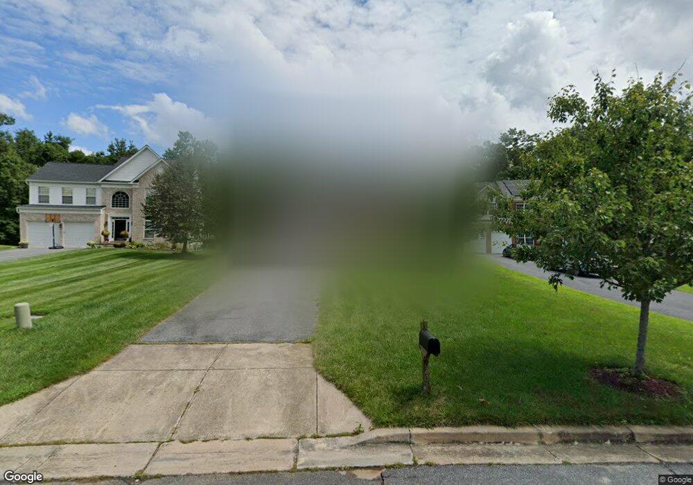
9201 Sumner Grove Dr Laurel, MD 20708
South Laurel NeighborhoodEstimated Value: $688,211 - $808,000
Studio
3
Baths
3,364
Sq Ft
$217/Sq Ft
Est. Value
About This Home
This home is located at 9201 Sumner Grove Dr, Laurel, MD 20708 and is currently estimated at $731,303, approximately $217 per square foot. 9201 Sumner Grove Dr is a home located in Prince George's County with nearby schools including Montpelier Elementary School, Dwight D. Eisenhower Middle School, and Laurel High School.
Ownership History
Date
Name
Owned For
Owner Type
Purchase Details
Closed on
Jun 1, 2005
Sold by
Sumner Grove Llc
Bought by
Carr Donald L
Current Estimated Value
Home Financials for this Owner
Home Financials are based on the most recent Mortgage that was taken out on this home.
Original Mortgage
$43,400
Outstanding Balance
$22,934
Interest Rate
6.05%
Mortgage Type
Purchase Money Mortgage
Estimated Equity
$708,369
Create a Home Valuation Report for This Property
The Home Valuation Report is an in-depth analysis detailing your home's value as well as a comparison with similar homes in the area
Home Values in the Area
Average Home Value in this Area
Purchase History
| Date | Buyer | Sale Price | Title Company |
|---|---|---|---|
| Carr Donald L | $434,295 | -- |
Source: Public Records
Mortgage History
| Date | Status | Borrower | Loan Amount |
|---|---|---|---|
| Open | Carr Donald L | $43,400 |
Source: Public Records
Tax History
| Year | Tax Paid | Tax Assessment Tax Assessment Total Assessment is a certain percentage of the fair market value that is determined by local assessors to be the total taxable value of land and additions on the property. | Land | Improvement |
|---|---|---|---|---|
| 2025 | $9,244 | $667,200 | $151,900 | $515,300 |
| 2024 | $9,244 | $626,500 | -- | -- |
| 2023 | $8,882 | $585,800 | $0 | $0 |
| 2022 | $8,425 | $545,100 | $101,900 | $443,200 |
| 2021 | $8,106 | $530,067 | $0 | $0 |
| 2020 | $7,984 | $515,033 | $0 | $0 |
| 2019 | $7,815 | $500,000 | $100,900 | $399,100 |
| 2018 | $7,661 | $496,800 | $0 | $0 |
| 2017 | $7,554 | $493,600 | $0 | $0 |
| 2016 | -- | $490,400 | $0 | $0 |
| 2015 | $6,751 | $471,333 | $0 | $0 |
| 2014 | $6,751 | $452,267 | $0 | $0 |
Source: Public Records
Map
Nearby Homes
- 9102 Erfurt Ct
- 11440 Laurelwalk Dr
- 11408 Laurelwalk Dr
- 11386 Laurelwalk Dr
- 11501 Laurelwalk Dr
- 12017 Apache Tears Cir
- 9303 Ispahan Loop
- 12101 Spirit Ave
- 12103 Spirit Ave
- 12105 Spirit Ave
- 12107 Spirit Ave
- 12109 Spirit Ave
- 12201 Mount Pleasant Dr
- 12122 Running Bull Way
- 12124 Running Bull Way
- 12128 Running Bull Way
- 8714 Granite Ln
- 11605 Basswood Dr
- 10112 Snowden Rd
- 12600 Cedarbrook Ln
- 9121 Sumner Grove Dr
- 9203 Sumner Grove Dr
- 9119 Sumner Grove Dr
- 9205 Sumner Grove Dr
- 11337 Elmshorn Way
- 11335 Elmshorn Way
- 9207 Sumner Grove Dr
- 11333 Elmshorn Way
- 11331 Elmshorn Way
- 9200 Sumner Grove Dr
- 9117 Sumner Grove Dr
- 9202 Sumner Grove Dr
- 11329 Elmshorn Way
- 11341 Elmshorn Way
- 11321 Elmshorn Way
- 11319 Elmshorn Way
- 11323 Elmshorn Way
- 11343 Elmshorn Way
- 11327 Elmshorn Way
- 9204 Sumner Grove Dr
Your Personal Tour Guide
Ask me questions while you tour the home.