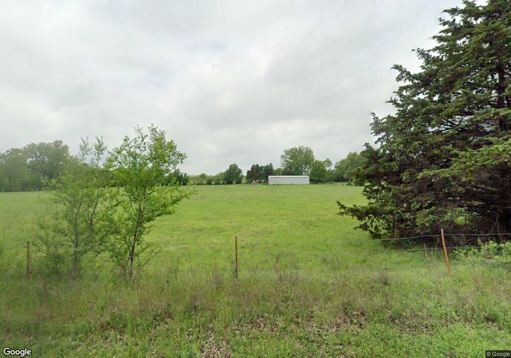
9205 S Sharon Ln Mustang, OK 73064
South Mustang NeighborhoodEstimated Value: $228,220 - $318,000
3
Beds
2
Baths
1,172
Sq Ft
$229/Sq Ft
Est. Value
About This Home
This home is located at 9205 S Sharon Ln, Mustang, OK 73064 and is currently estimated at $268,407, approximately $229 per square foot. 9205 S Sharon Ln is a home located in Canadian County with nearby schools including Mustang Centennial Elementary School, Mustang Horizon Intermediate School, and Mustang Middle School.
Ownership History
Date
Name
Owned For
Owner Type
Purchase Details
Closed on
Apr 15, 2005
Sold by
Nichols Candy L
Bought by
Nichols Candy L and Candy L Nichols Revocable Trus
Current Estimated Value
Purchase Details
Closed on
Apr 28, 2000
Sold by
Tarrant John T and Tarrant Angela K
Purchase Details
Closed on
Mar 24, 1993
Sold by
Bohn Austin L
Purchase Details
Closed on
Jun 9, 1992
Purchase Details
Closed on
Jun 8, 1992
Purchase Details
Closed on
Mar 21, 1991
Create a Home Valuation Report for This Property
The Home Valuation Report is an in-depth analysis detailing your home's value as well as a comparison with similar homes in the area
Home Values in the Area
Average Home Value in this Area
Purchase History
| Date | Buyer | Sale Price | Title Company |
|---|---|---|---|
| Nichols Candy L | -- | None Available | |
| -- | $85,000 | -- | |
| -- | $49,000 | -- | |
| -- | -- | -- | |
| -- | -- | -- | |
| -- | -- | -- |
Source: Public Records
Tax History Compared to Growth
Tax History
| Year | Tax Paid | Tax Assessment Tax Assessment Total Assessment is a certain percentage of the fair market value that is determined by local assessors to be the total taxable value of land and additions on the property. | Land | Improvement |
|---|---|---|---|---|
| 2024 | $1,021 | $10,018 | $6,024 | $3,994 |
| 2023 | $1,021 | $10,017 | $3,996 | $6,021 |
| 2022 | $1,036 | $10,017 | $4,574 | $5,443 |
| 2021 | $1,033 | $10,017 | $3,969 | $6,048 |
| 2020 | $1,009 | $9,725 | $3,797 | $5,928 |
| 2019 | $976 | $9,442 | $3,630 | $5,812 |
| 2018 | $961 | $9,167 | $3,472 | $5,695 |
| 2017 | $918 | $8,900 | $3,301 | $5,599 |
| 2016 | $885 | $8,900 | $3,310 | $5,590 |
| 2015 | -- | $8,390 | $3,026 | $5,364 |
| 2014 | -- | $7,990 | $2,783 | $5,207 |
Source: Public Records
Map
Nearby Homes
- 1315 S Grace Dr
- 1509 S Clear Springs Rd
- 525 W Ava Dr
- 1302 S Silver Dr
- 12100 SW 36th St
- 10009 SW 39th St
- 10013 SW 39th St
- 1405 S Dean Dr
- 520 S Owen Dr
- 11933 SW 104th St
- 11937 SW 104th St
- 11941 SW 104th St
- 11949 SW 104th St
- 11953 SW 104th St
- 1907 W Cedar Ridge Dr
- 632 W Carson Dr
- 1809 W Aqua Clear Dr
- 12116 SW 36th St
- 850 W Forest Dr
- 12112 SW 36th St
- 12600 SW 89th St
- 9212 S Sharon Ln
- 9212 S Sharon Ln
- 12700 SW 89th St
- 9240 SW 89th St
- 12540 SW 89th St
- 12540 SW 89th St
- 13551 W Coy Ln
- 13480 W Coy Ln
- 9400 S Sharon Ln
- 12536 SW 89th St
- 12626 W Coy Ln
- 1501 Blue Haven Dr
- 1500 Blue Haven Dr
- 1421 W Sw 89th St
- 1505 S Lariat Dr
- 12424 SW 89th St
- 9401 S Sharon Ln
- 1451 Blue Haven Dr
- 1450 Blue Haven Dr
