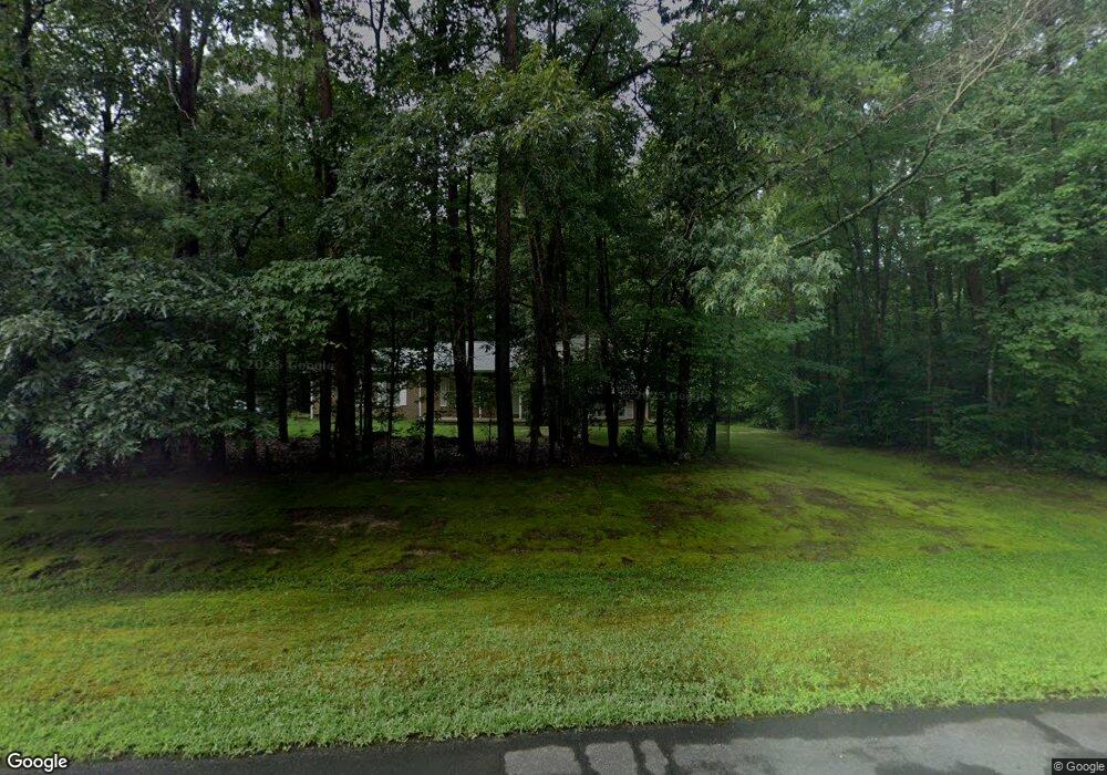
9205 Sadie Ln La Plata, MD 20646
Estimated Value: $525,384
--
Bed
2
Baths
2,360
Sq Ft
$223/Sq Ft
Est. Value
About This Home
This home is located at 9205 Sadie Ln, La Plata, MD 20646 and is currently estimated at $525,384, approximately $222 per square foot. 9205 Sadie Ln is a home located in Charles County with nearby schools including Walter J. Mitchell Elementary School, Piccowaxen Middle School, and Maurice J. McDonough High School.
Ownership History
Date
Name
Owned For
Owner Type
Purchase Details
Closed on
Oct 21, 1998
Sold by
Norwood David G and Norwood Carol C
Bought by
Diltz Gregory A and Diltz Rebecca J
Current Estimated Value
Purchase Details
Closed on
Jun 11, 1993
Sold by
Hartley David J and Hartley Eugenia J
Bought by
Norwood David G and Norwood Carol C
Home Financials for this Owner
Home Financials are based on the most recent Mortgage that was taken out on this home.
Original Mortgage
$136,150
Interest Rate
7.48%
Purchase Details
Closed on
Aug 28, 1986
Sold by
M S I Inc
Bought by
Hartley David J and Hartley Eugenia J
Home Financials for this Owner
Home Financials are based on the most recent Mortgage that was taken out on this home.
Original Mortgage
$93,350
Interest Rate
10.04%
Create a Home Valuation Report for This Property
The Home Valuation Report is an in-depth analysis detailing your home's value as well as a comparison with similar homes in the area
Home Values in the Area
Average Home Value in this Area
Purchase History
| Date | Buyer | Sale Price | Title Company |
|---|---|---|---|
| Diltz Gregory A | $164,950 | -- | |
| Norwood David G | $151,300 | -- | |
| Hartley David J | $105,000 | -- |
Source: Public Records
Mortgage History
| Date | Status | Borrower | Loan Amount |
|---|---|---|---|
| Previous Owner | Norwood David G | $136,150 | |
| Previous Owner | Hartley David J | $93,350 | |
| Closed | Diltz Gregory A | -- |
Source: Public Records
Tax History Compared to Growth
Tax History
| Year | Tax Paid | Tax Assessment Tax Assessment Total Assessment is a certain percentage of the fair market value that is determined by local assessors to be the total taxable value of land and additions on the property. | Land | Improvement |
|---|---|---|---|---|
| 2025 | -- | $411,833 | -- | -- |
| 2024 | $226 | $366,367 | $0 | $0 |
| 2023 | $4,586 | $320,900 | $133,000 | $187,900 |
| 2022 | $4,443 | $312,500 | $0 | $0 |
| 2021 | $4,179 | $304,100 | $0 | $0 |
| 2020 | $4,179 | $295,700 | $135,000 | $160,700 |
| 2019 | $4,130 | $293,133 | $0 | $0 |
| 2018 | $4,055 | $290,567 | $0 | $0 |
| 2017 | $4,013 | $288,000 | $0 | $0 |
| 2016 | -- | $277,600 | $0 | $0 |
| 2015 | $3,476 | $267,200 | $0 | $0 |
| 2014 | $3,476 | $256,800 | $0 | $0 |
Source: Public Records
Map
Nearby Homes
- 8580 Crain Hwy
- 9190 Balsam Run
- 8150 Fairground Rd
- 9010 Basswood Run
- 8080 Crain Hwy
- 9310 Slidell Place
- 7855 Crain Hwy
- 9250 Slidell Place
- 9203 Crain Hwy
- 8120 Chapel Point Rd
- 7875 Locust Place
- 9215 Wills Rd
- 8451 Potobac Shores Rd
- 7795 Locust Place
- 7575 Dolly Dr
- 8535 Colleen Dr
- 8845 Locust Grove Dr
- 8535 Acoustic Ln
- 10346 Tydings Ct
- 10385 Tydings Ct